
HIKE & EXPLORE REMOTE LOCATIONS AROUND OAHU
$250EA FULL-DAY 1-3 PEOPLE $200EA 4-7 PEOPLE $175EA HALF-DAY 1-3 PEOPLE $150EA 4-7 PEOPLE PARTIAL DAY “ADD-ON” TO ANOTHER ADVENTURE $50-$100EA
There are some truly amazing hikes on the island of Oahu that will simply take your breath away! We have explored most of the island and highlighted our favorite hikes that we would love to share with you.

Check out this 60-Second Godspeed Adventures Hiking Adventures Information video!
All Hiking Adventures Include:
- Pick-up, transportation to hiking sites and back.
- Guided hiking tours ranging from easy 1-hour tours, 3-4-hour half-day tours, to 6-8-hour full-day tours.
- All necessary equipment and supplies.
- Beverages, snacks and lunch.
- Memories of a lifetime.
A few of our favorite Hiking Adventures
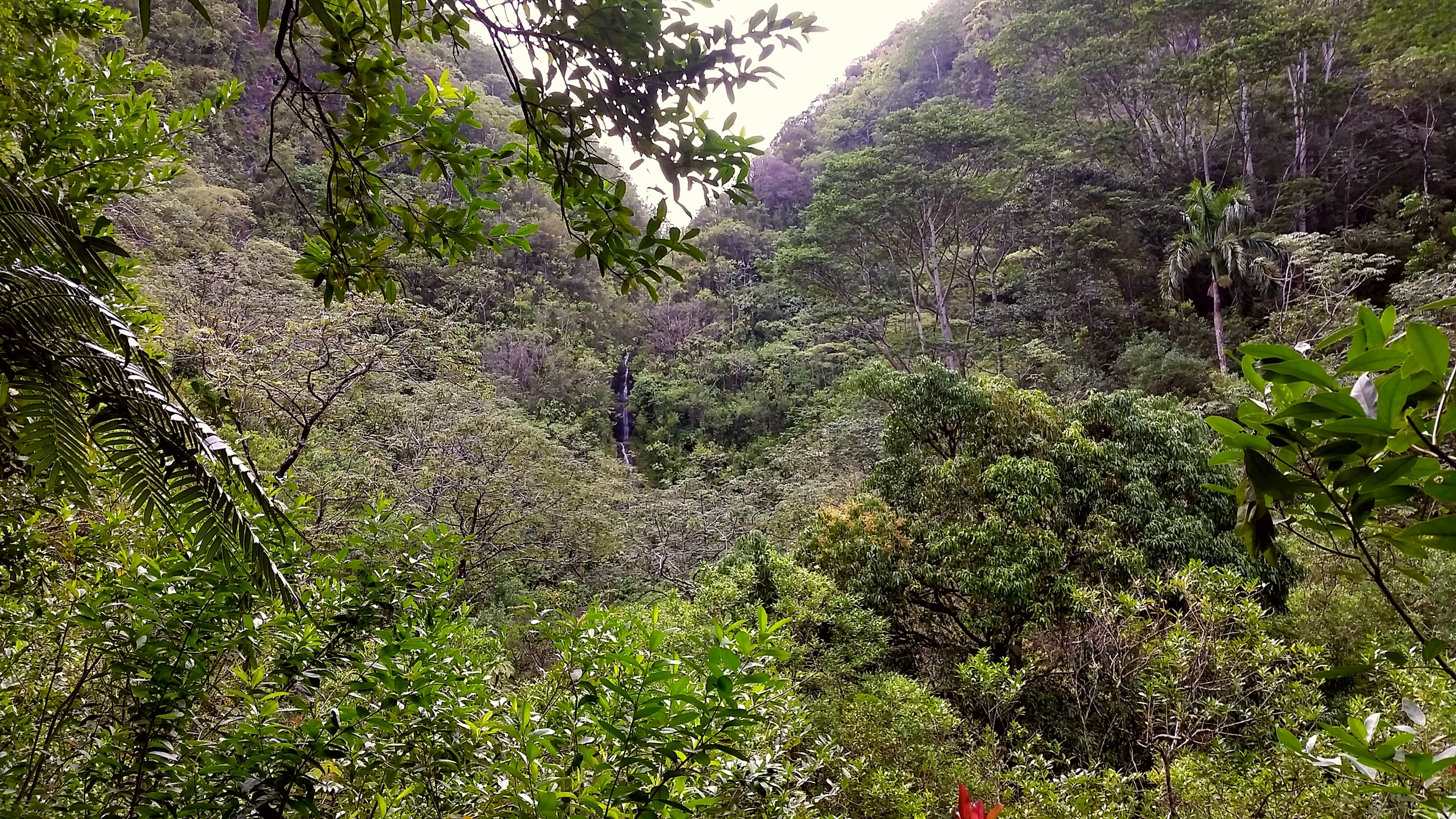
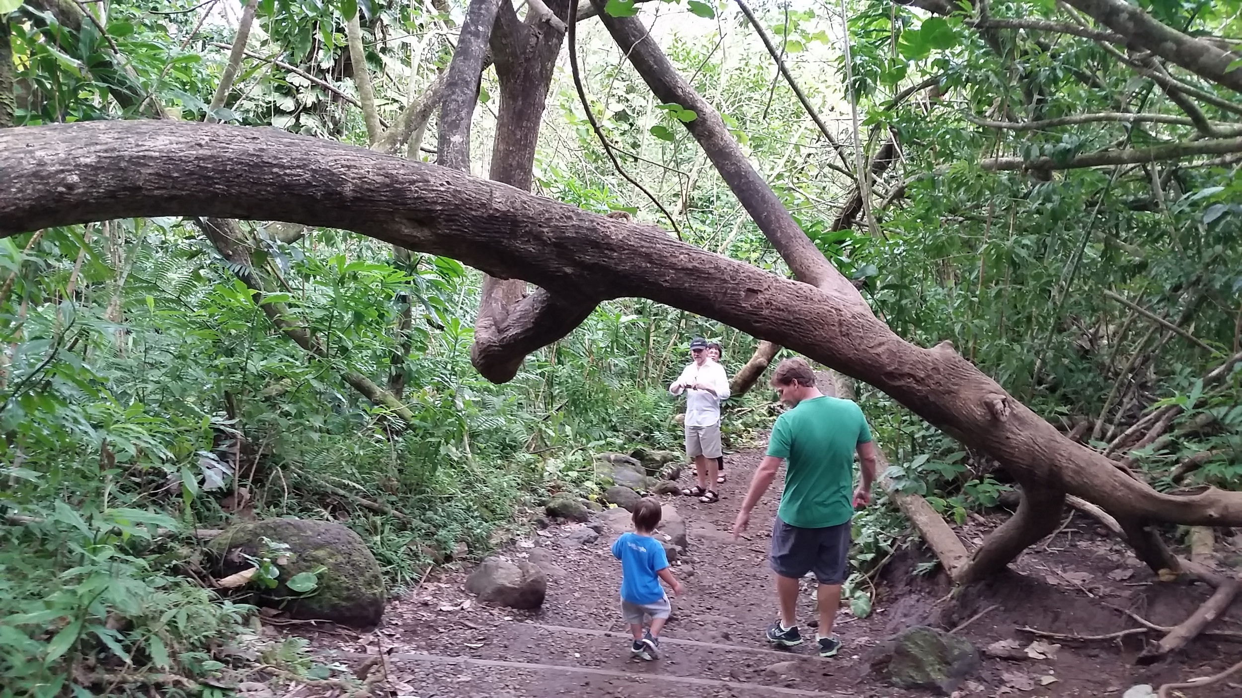
Manoa Falls
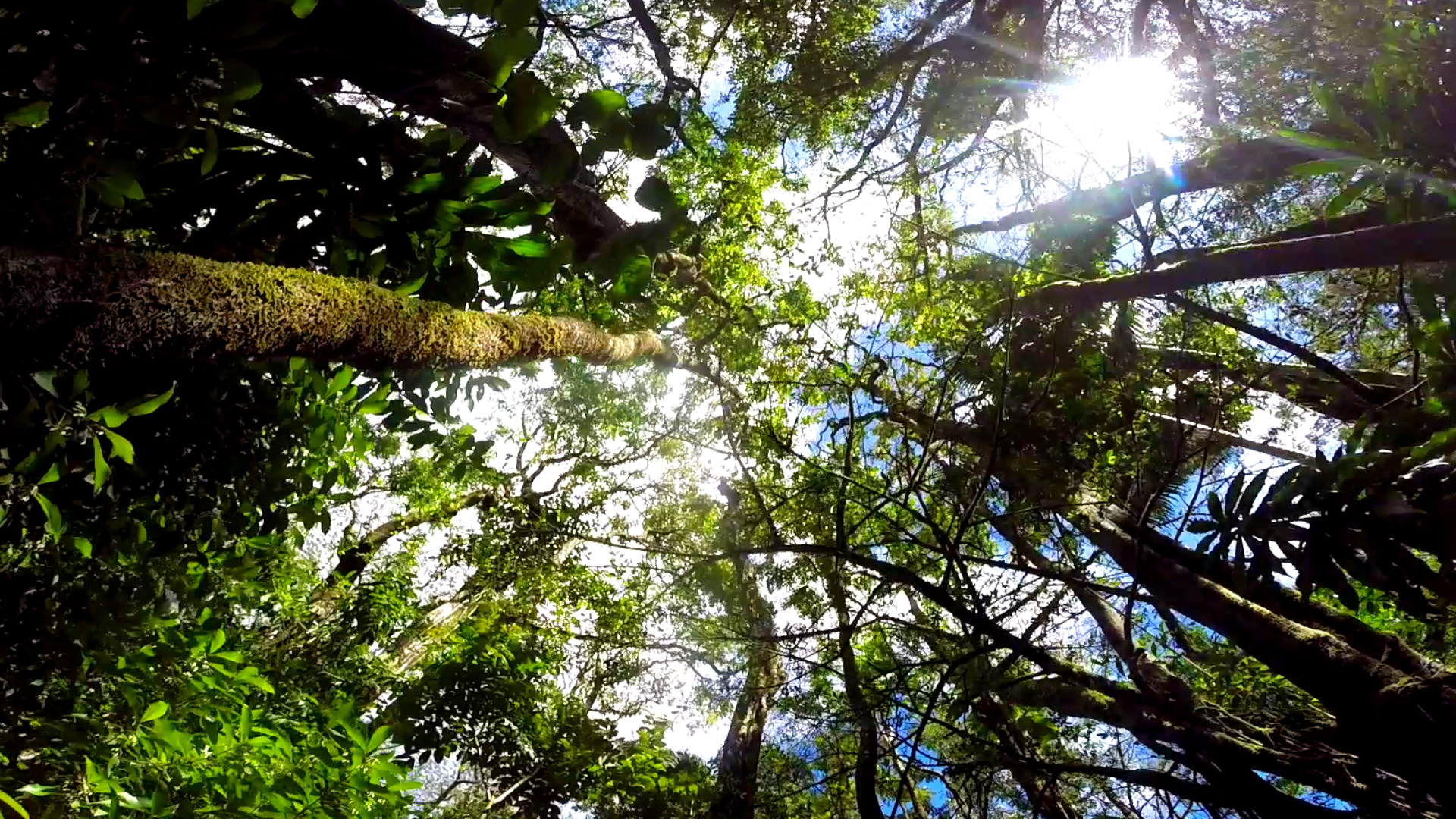
The 1.5 mile (round trip) Manoa Falls trail gradually ascends through a lush rainforest ending at a beautiful waterfall. Manoa Falls has to be one of the most fascinating waterfalls on Oahu to be seen cascading 150 feet down the mountainside. Not many Oahu waterfalls are easy to travel to, that can also deliver such an impressive show!
This Oahu hike is located on one of the better maintained mountain Oahu trails and is only a 20-minute drive from Waikiki. The trail tends to be a bit muddy as it rains a lot in this region. In fact Manoa Valley receives the most rainfall on Oahu. This is an easy, relatively short hike that offers a maximum return on your time investment taking 1-2 hours for the round trip depending on how much time you take to soak in and capture the beauty.

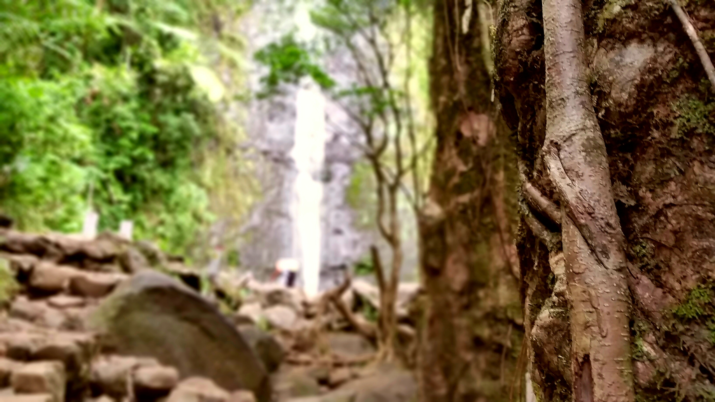
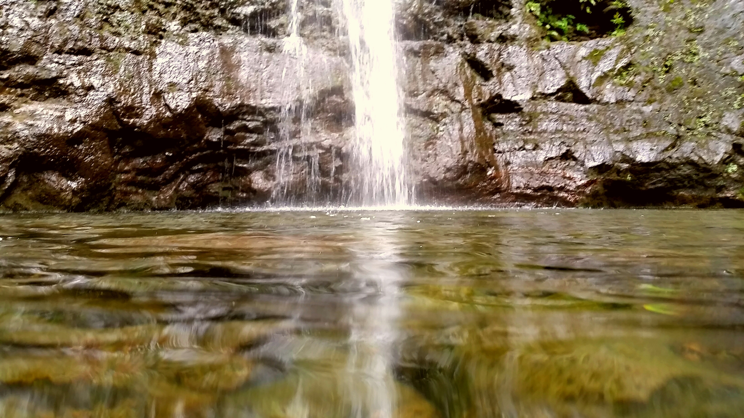


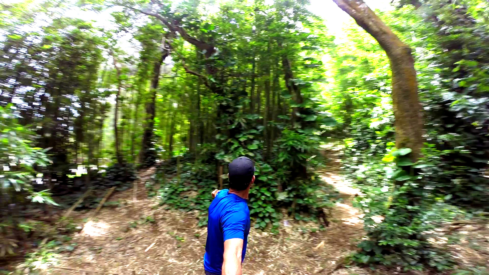
Kaniakapupu Ruins and Luakaha Waterfall
The Kaniakapupu (“the singing of the land shell.”) Ruins, better known as King Kamehameha III summer home, dating back to 1847 is located in Nu’uanu Valley. Other records show King Kamehameha I resting with his warriors in this area, during his conquest of Oahu in 1795. Kaniakapupu is the only remaining structure associated with Kamehameha III and since Kaniakapupu was the home to a king, it is considered to be kapu (Hawaiian word meaning forbidden, though it also carries the meaning of sacred, consecrated, or holy).
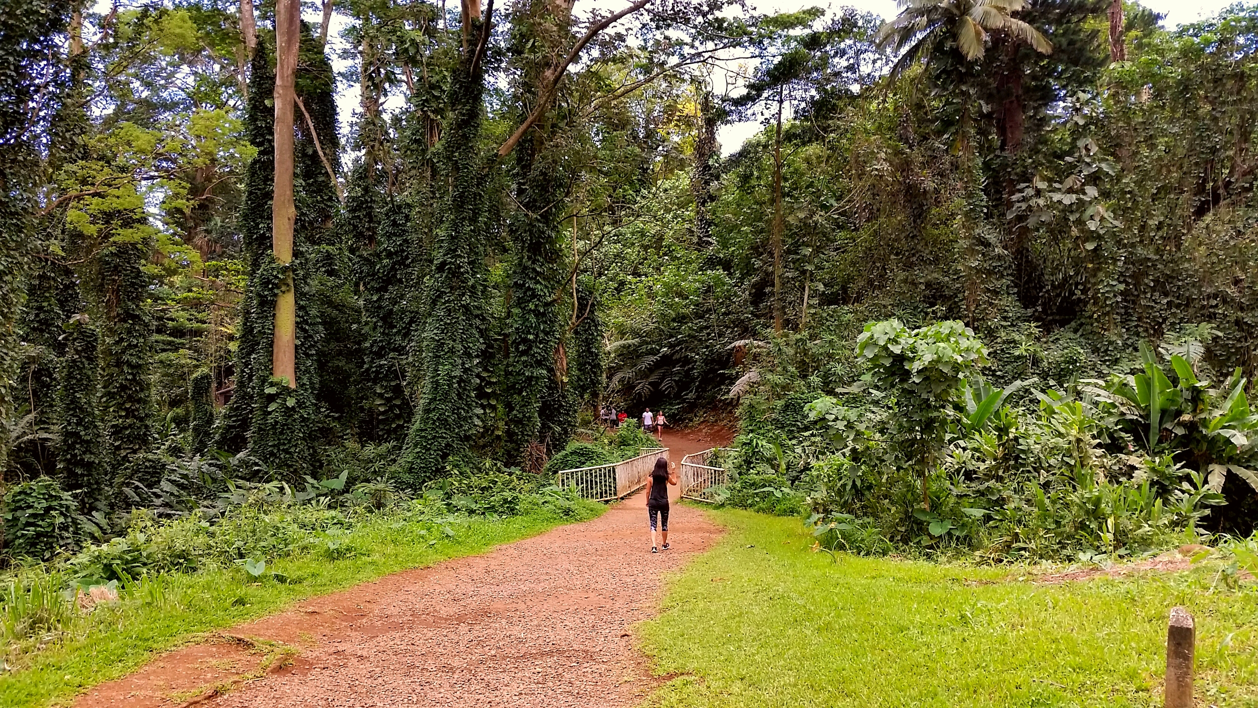
This is an incredible treasure and piece of Hawaiian history that is tucked away on this Oahu hike. Unlike other challenging Oahu hiking trails, there really is no hike involved but a light .5 mile trek to reach the main structure and is the perfect excursion for those who want to do a little exploring but don’t have a lot of time to spare.
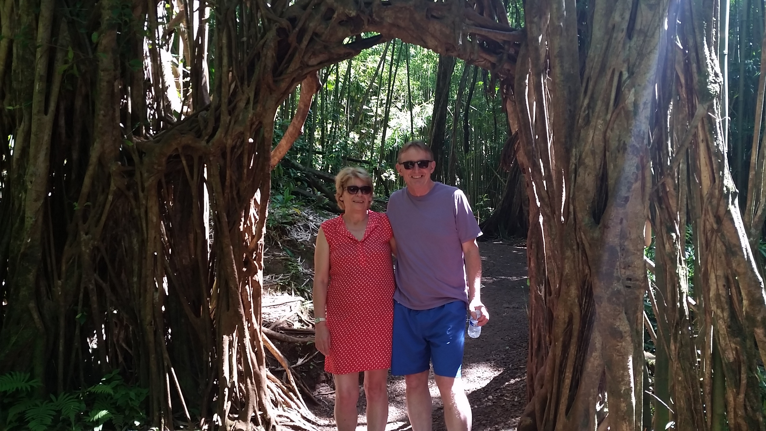
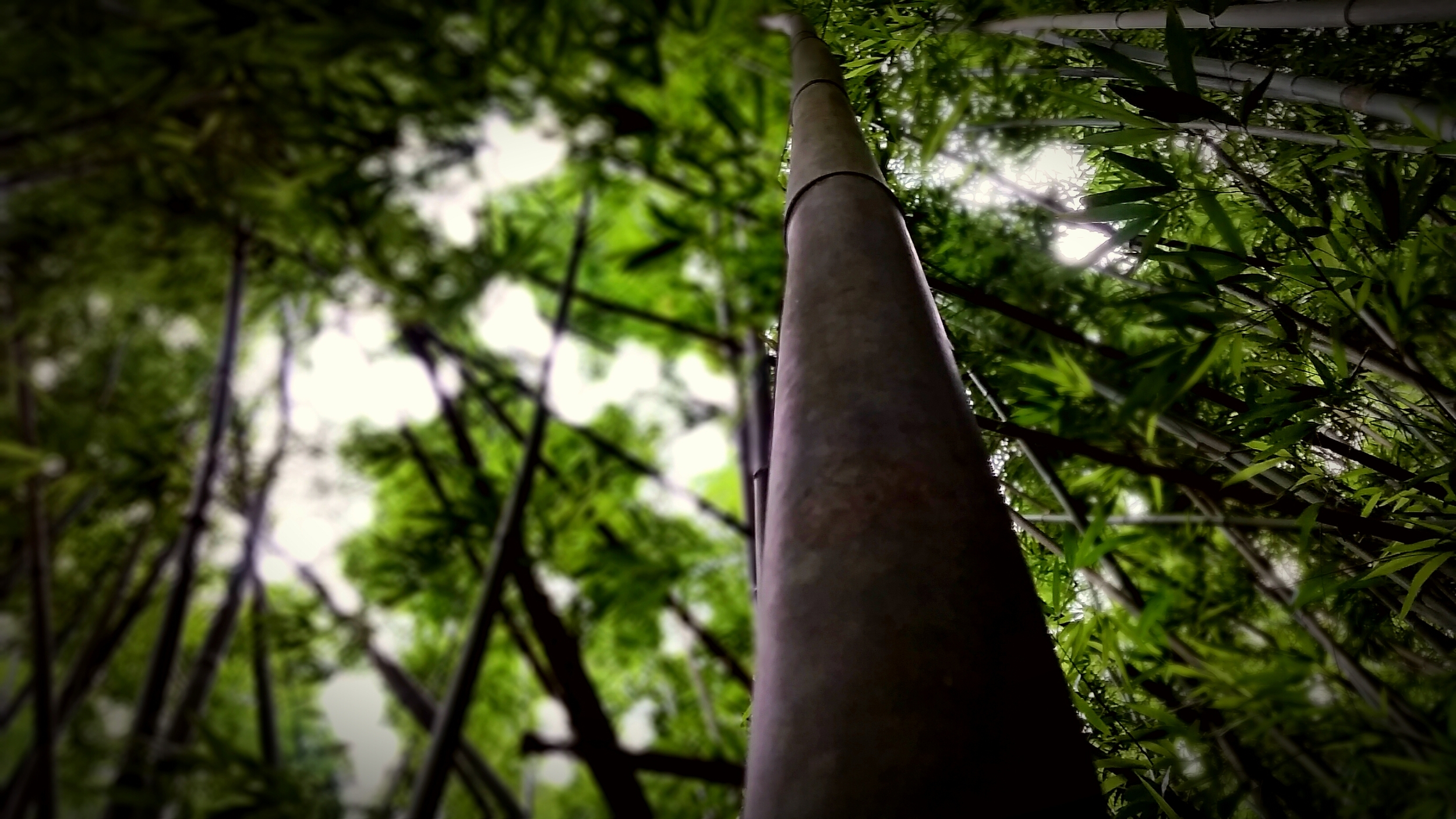
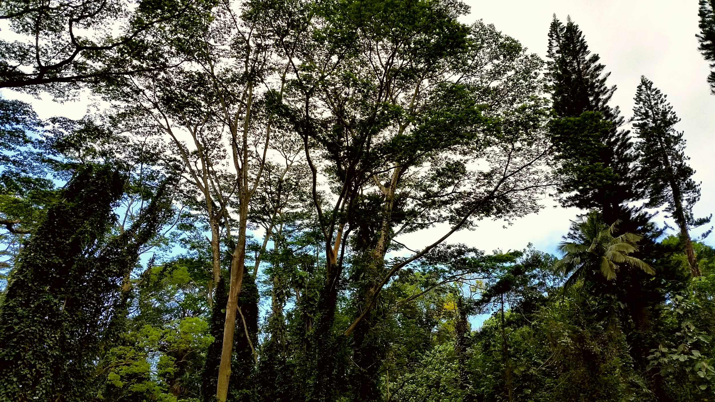
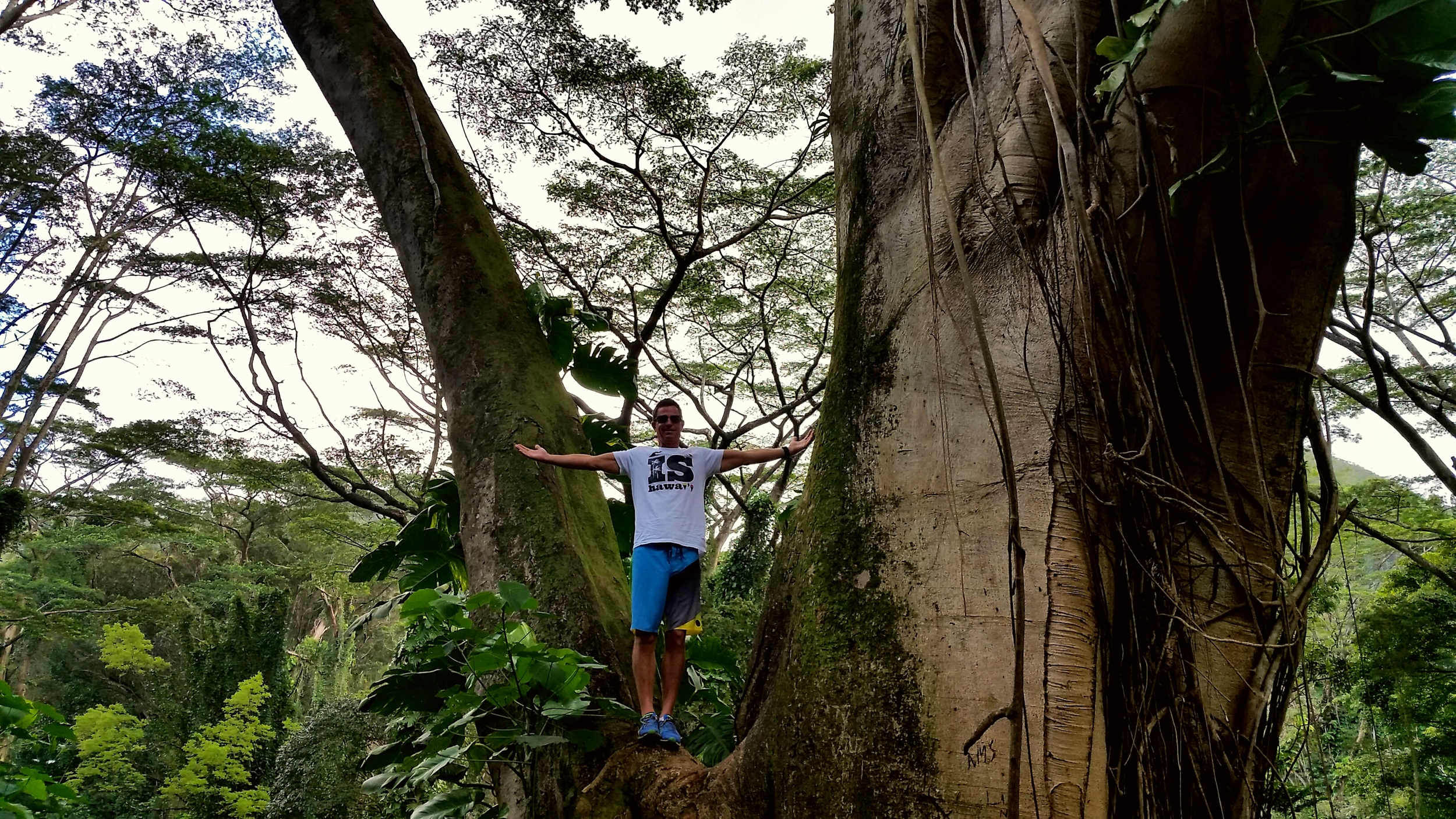
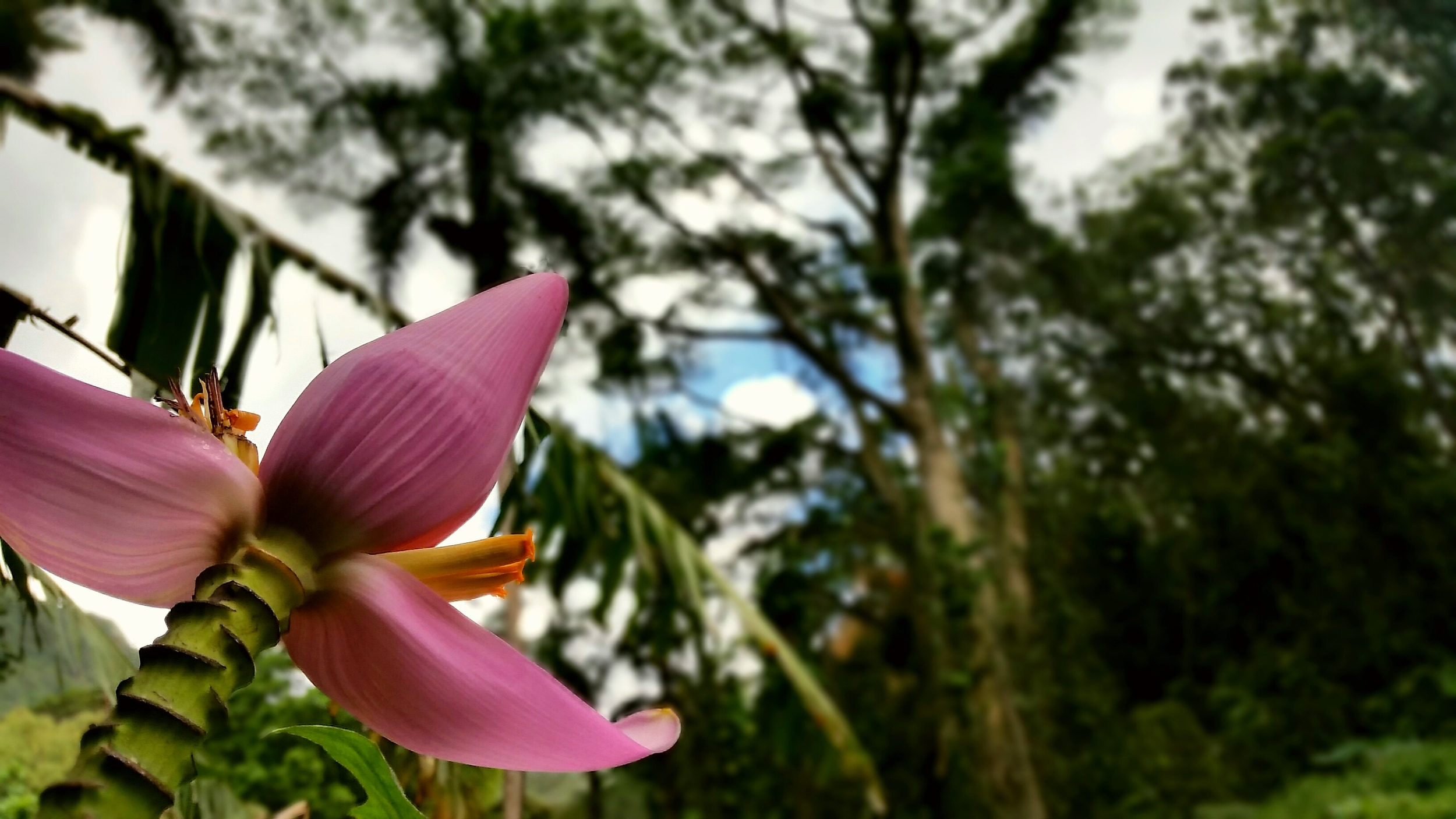
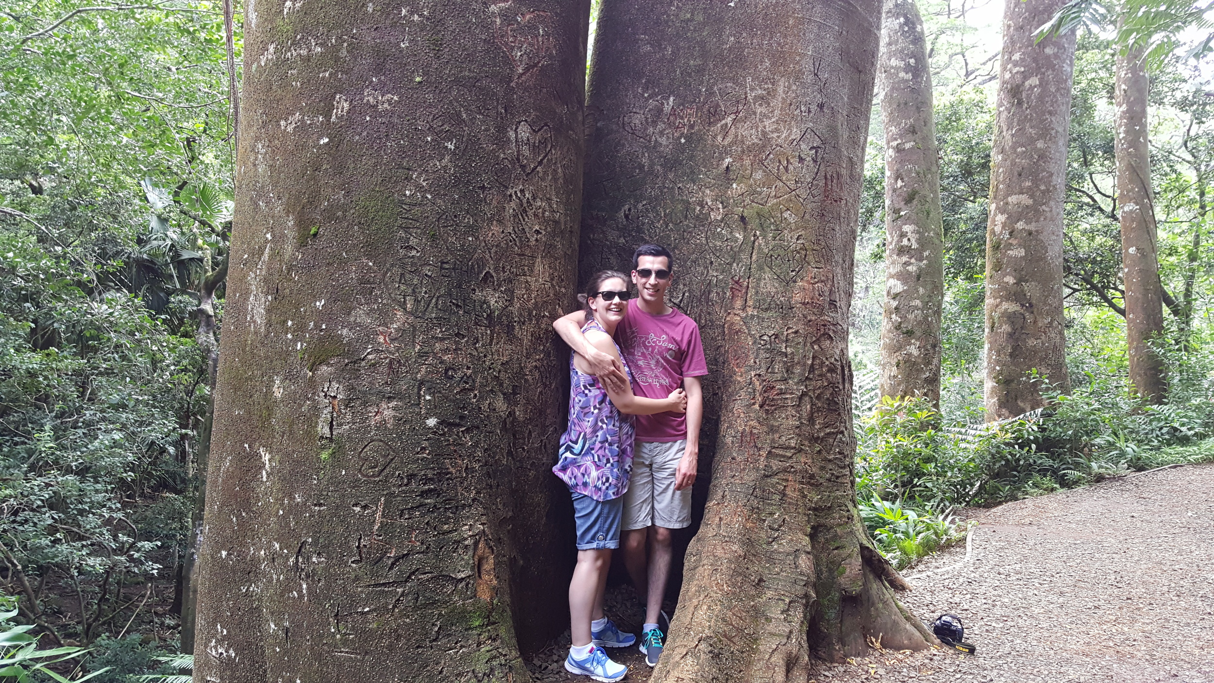
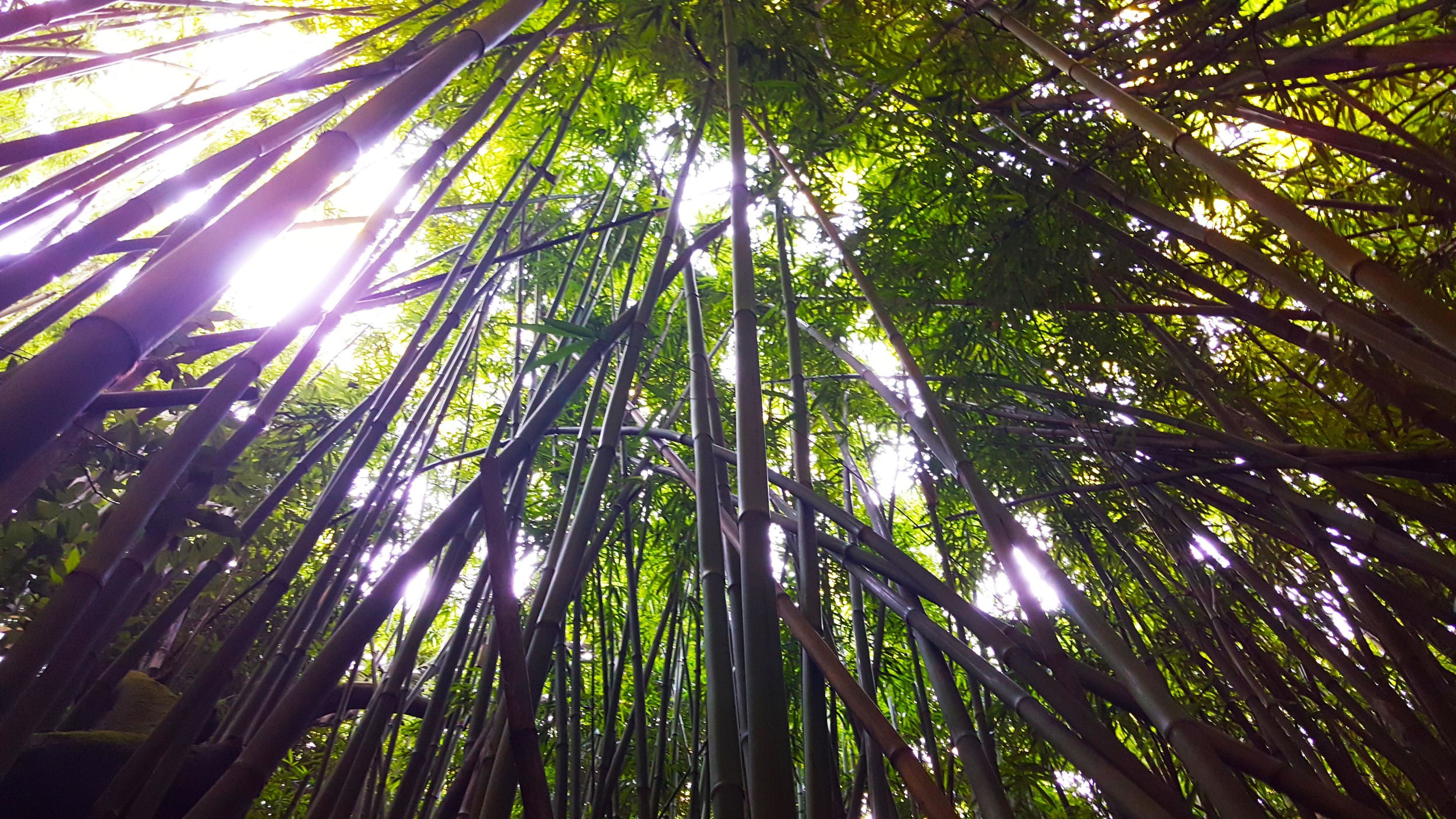
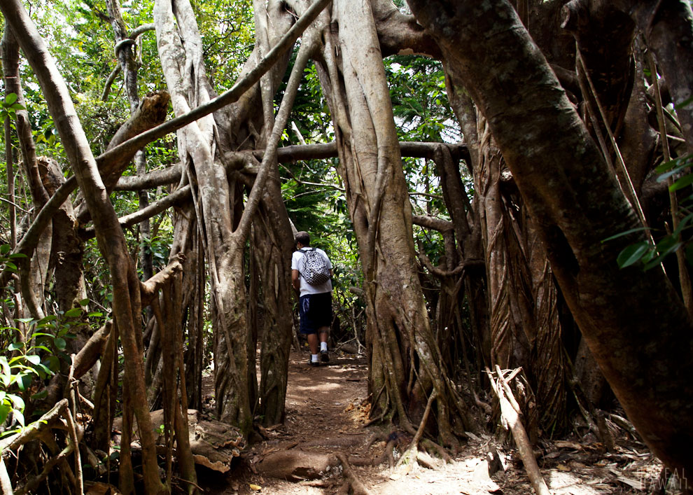
Beyond the ruins a bit further we can hike another 15-minutes to reach the Luakaha Waterfall, a 50-ft waterfall that is typically raging in full flow year round. We travel through an amazing bamboo forest there and back. There are some fascinating trees to be seen along the way, including the most impressive banyan tree we have ever seen.


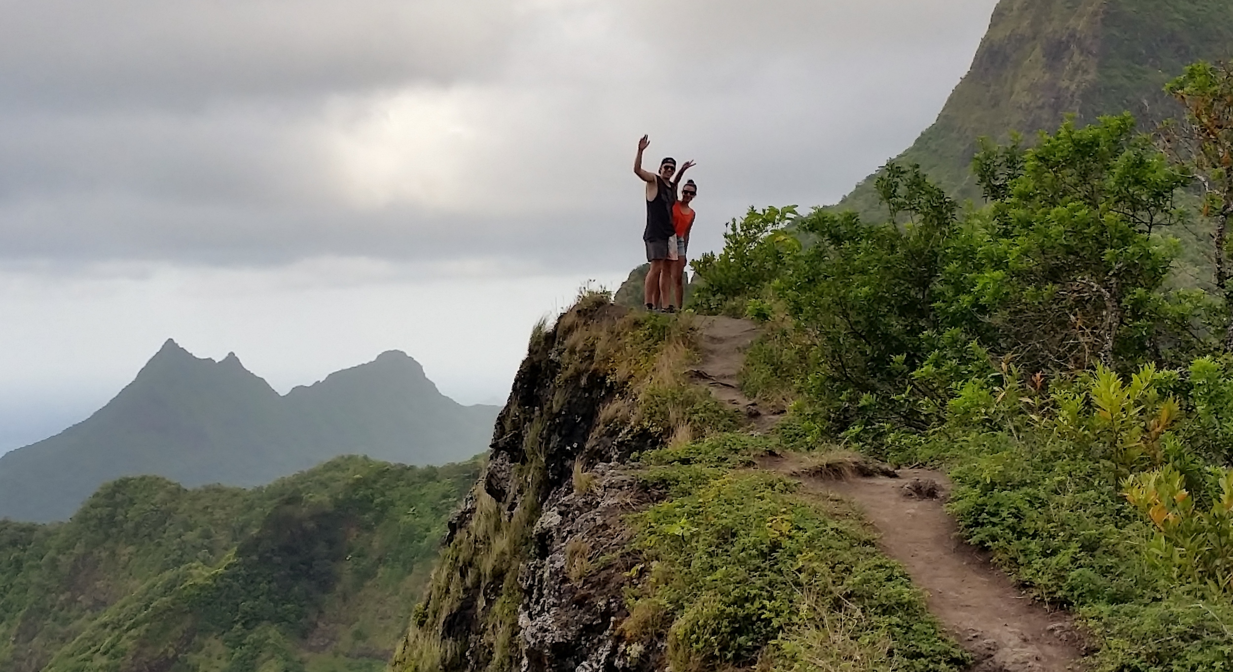
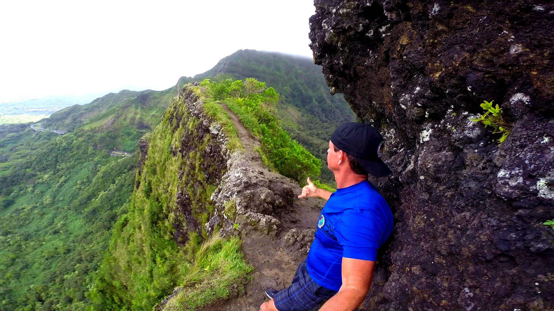
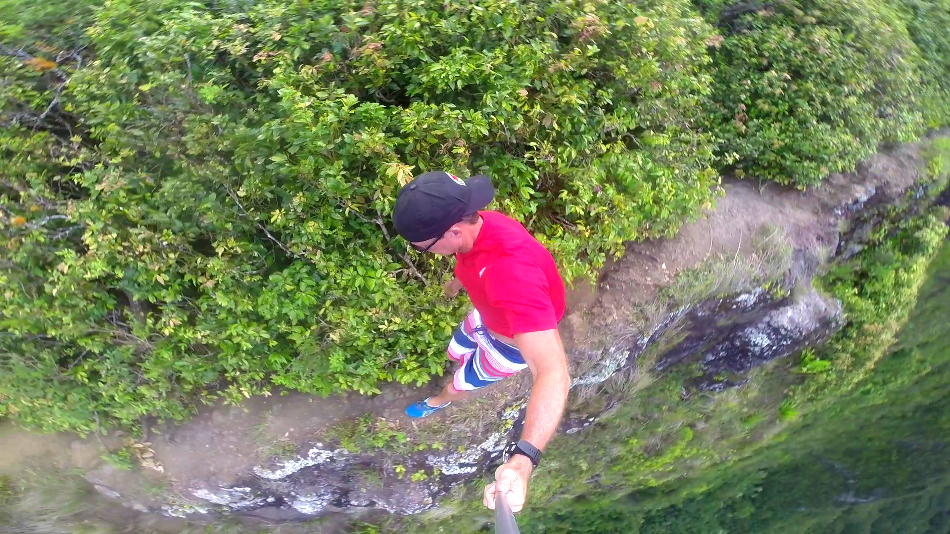
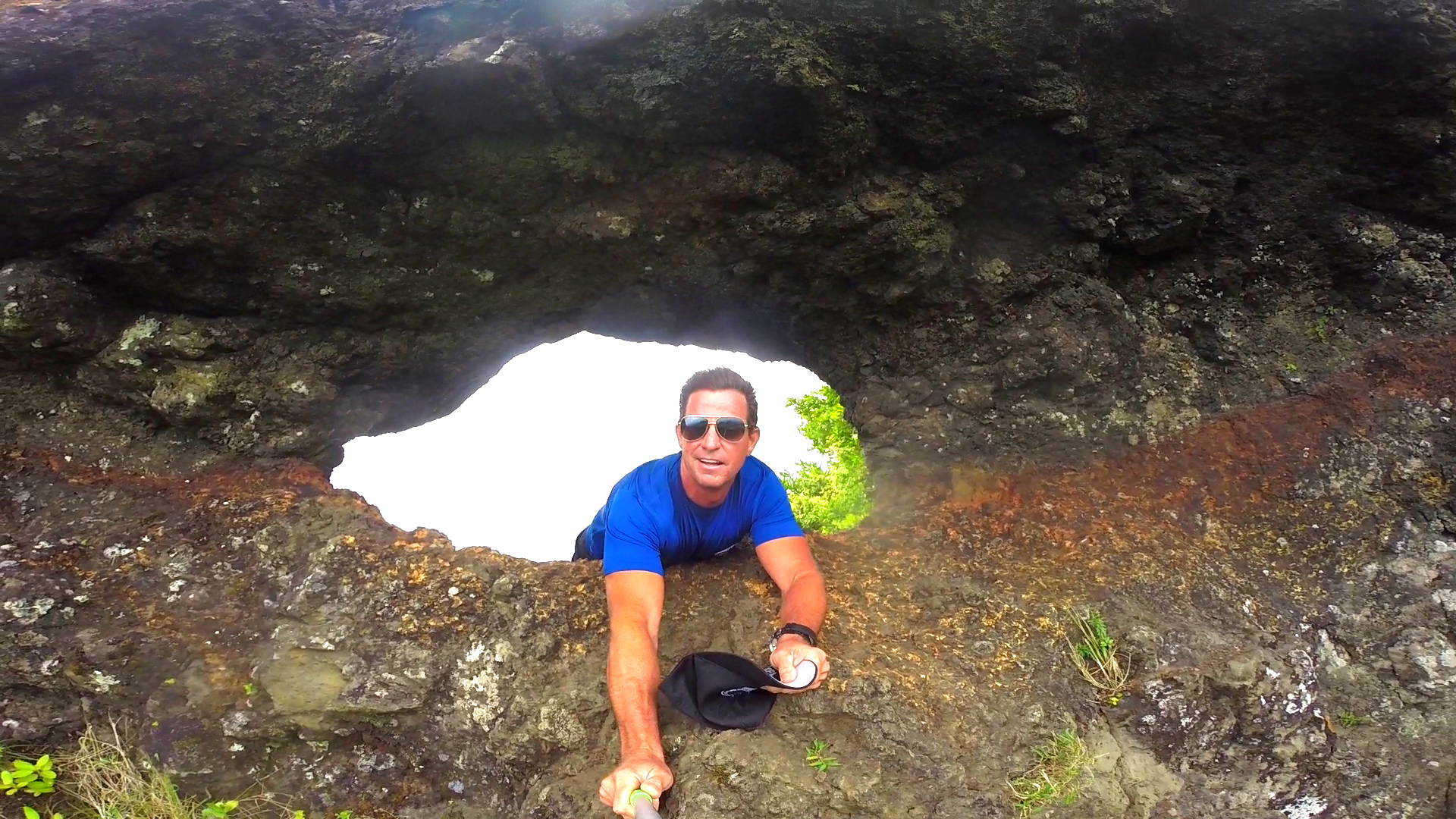
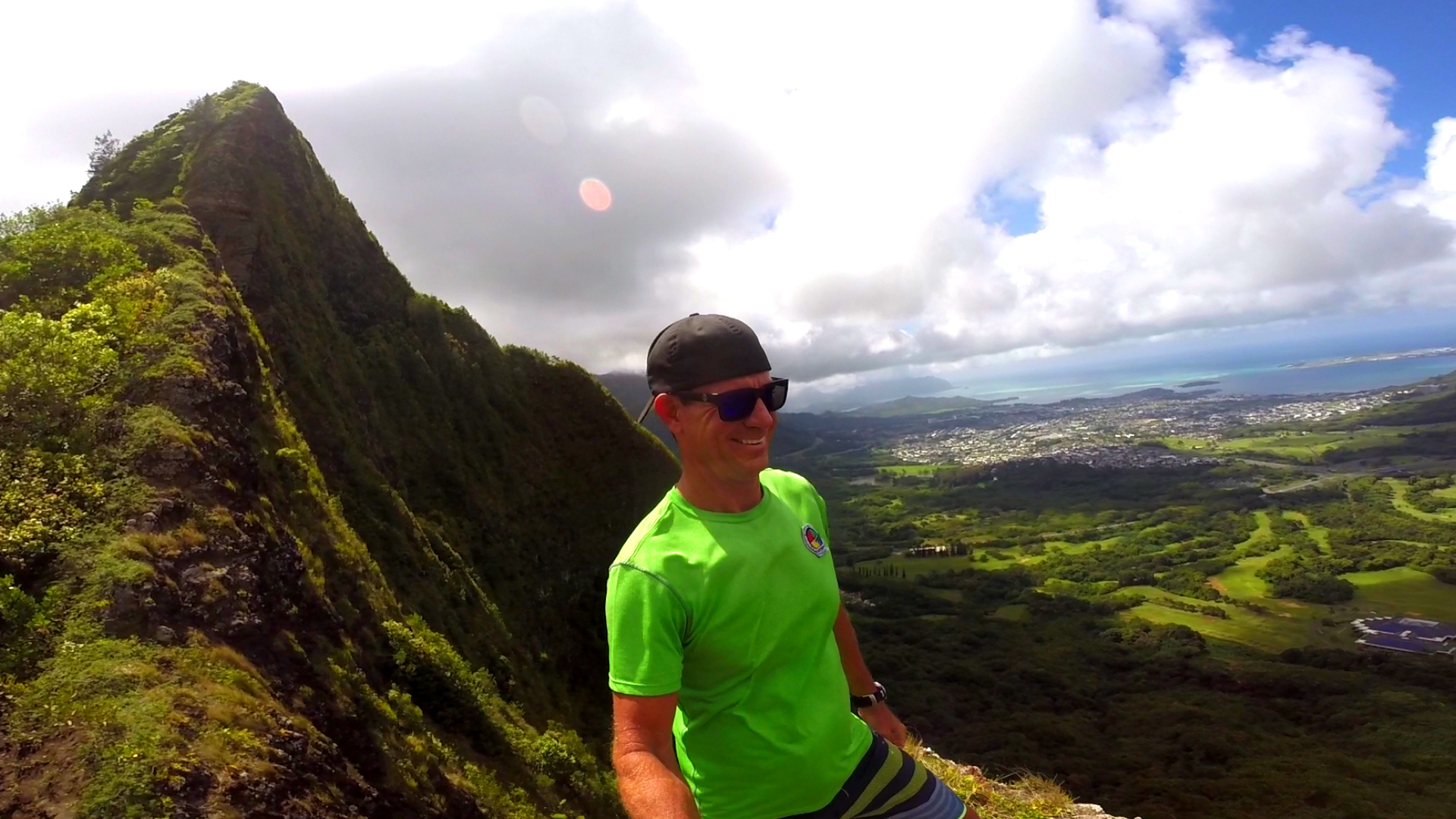
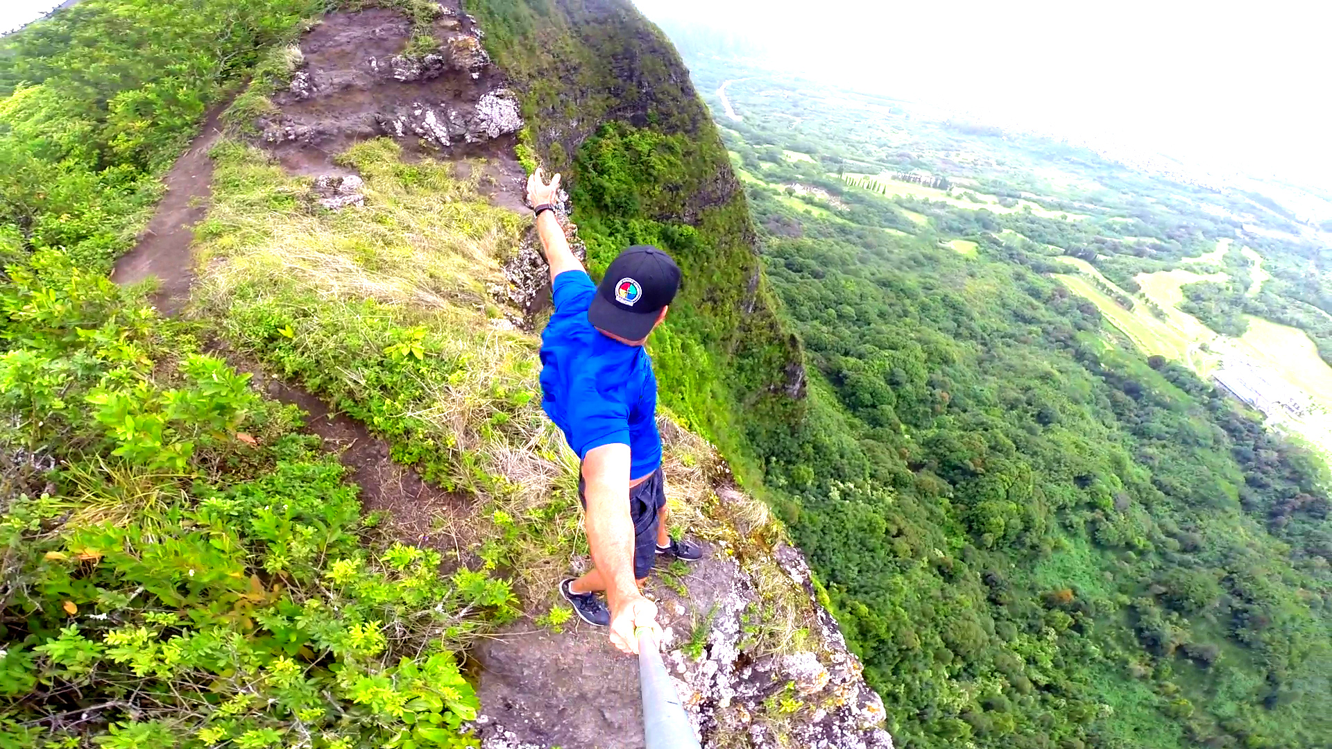
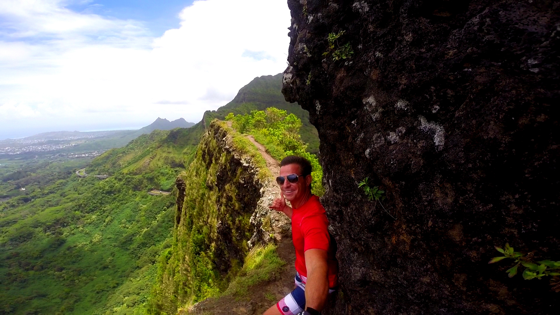
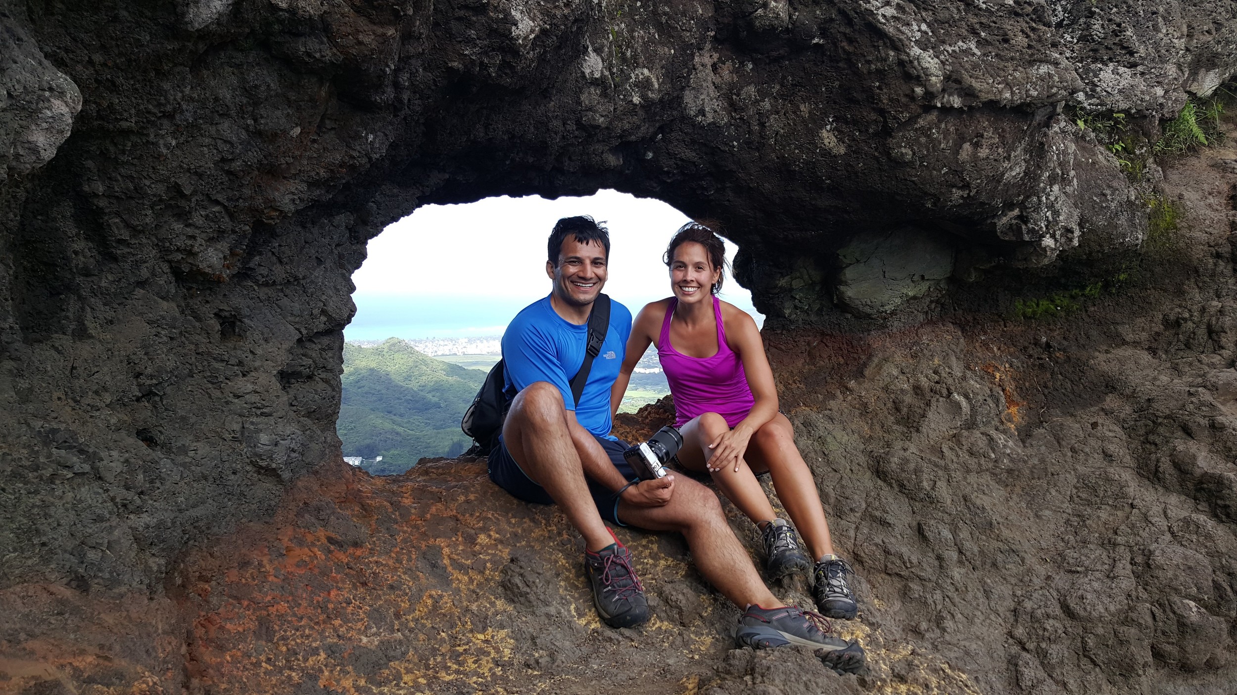
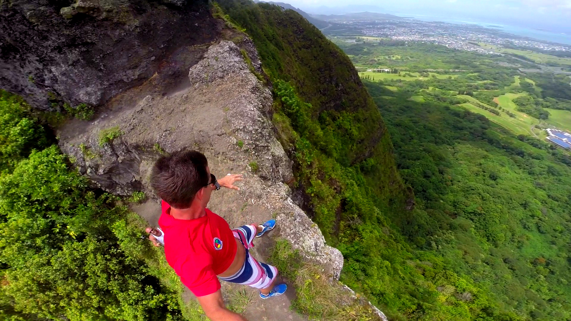
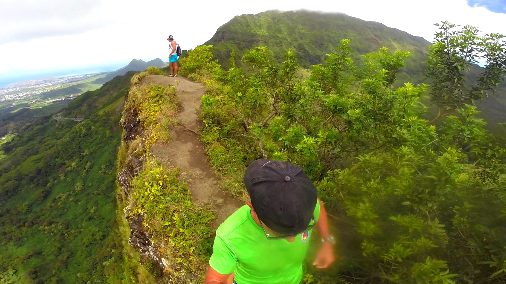
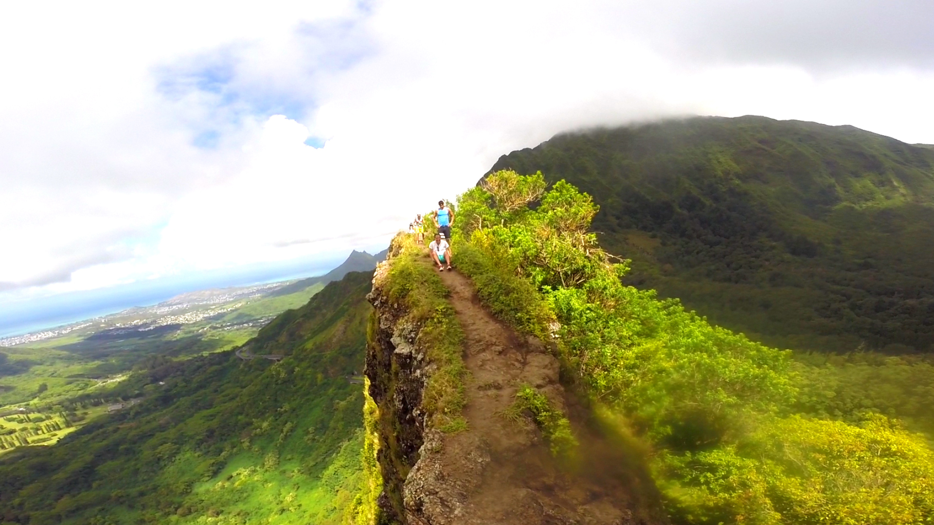
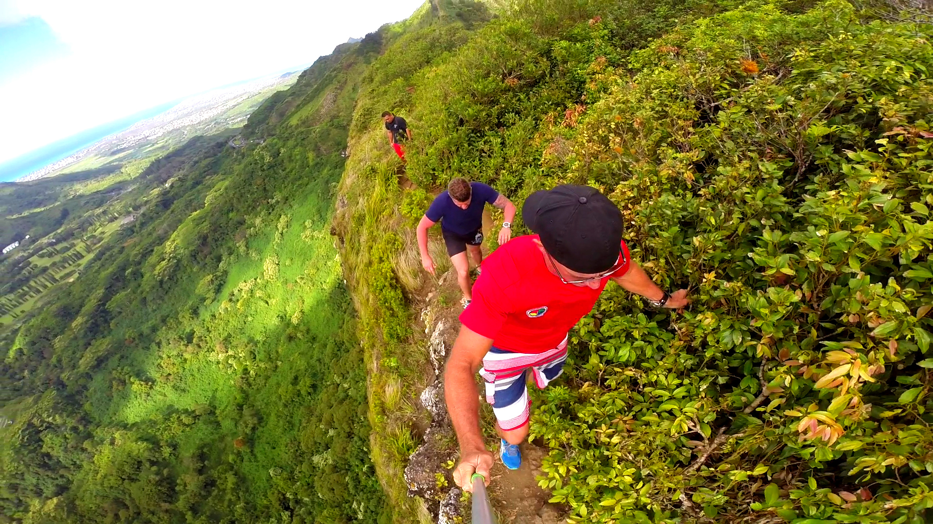
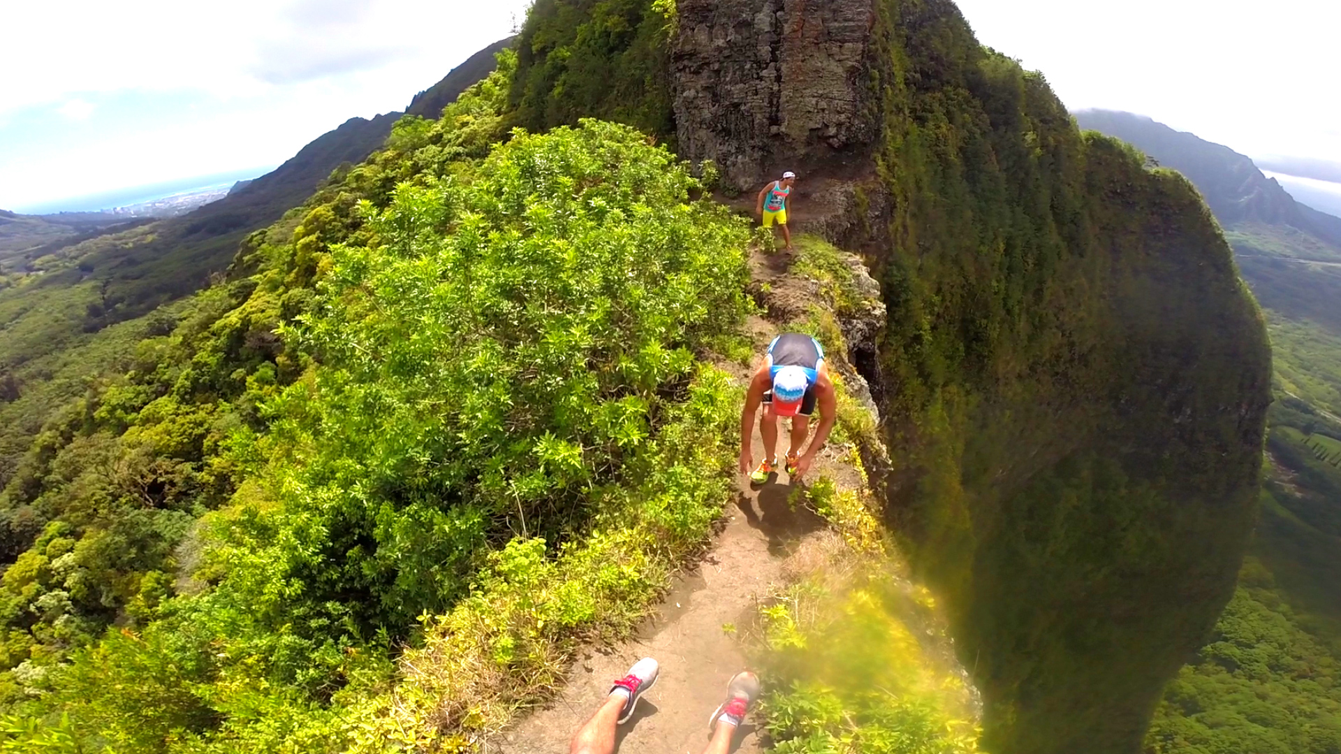
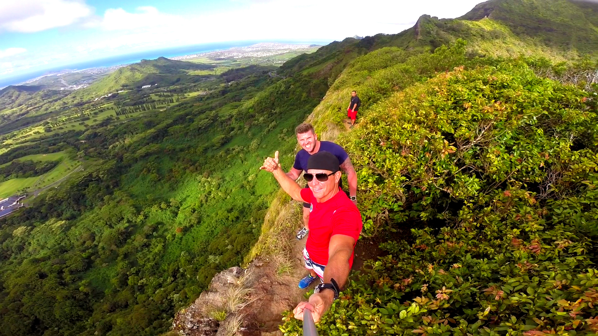
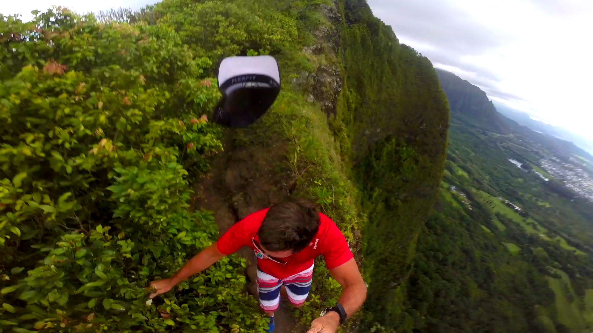
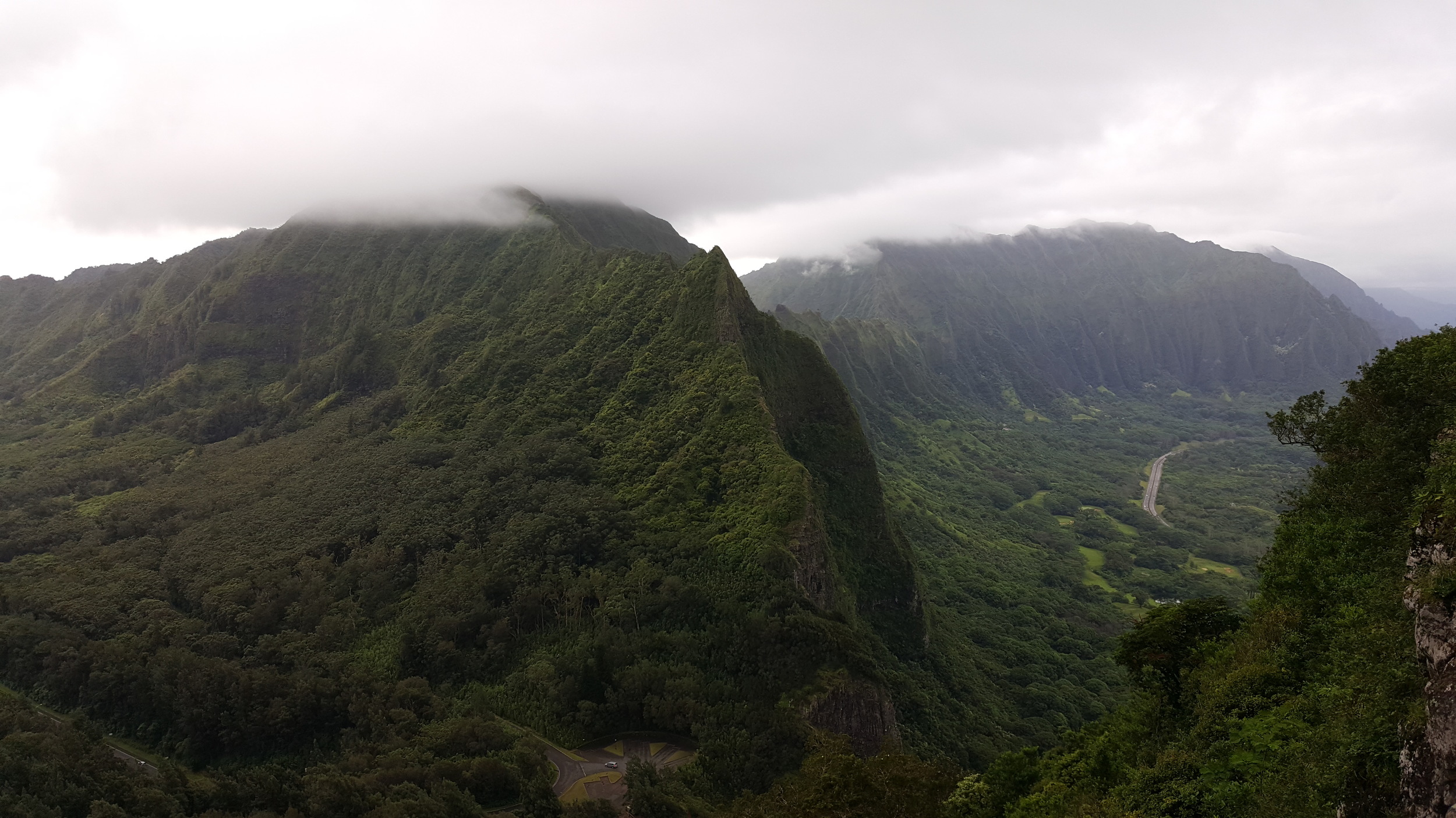
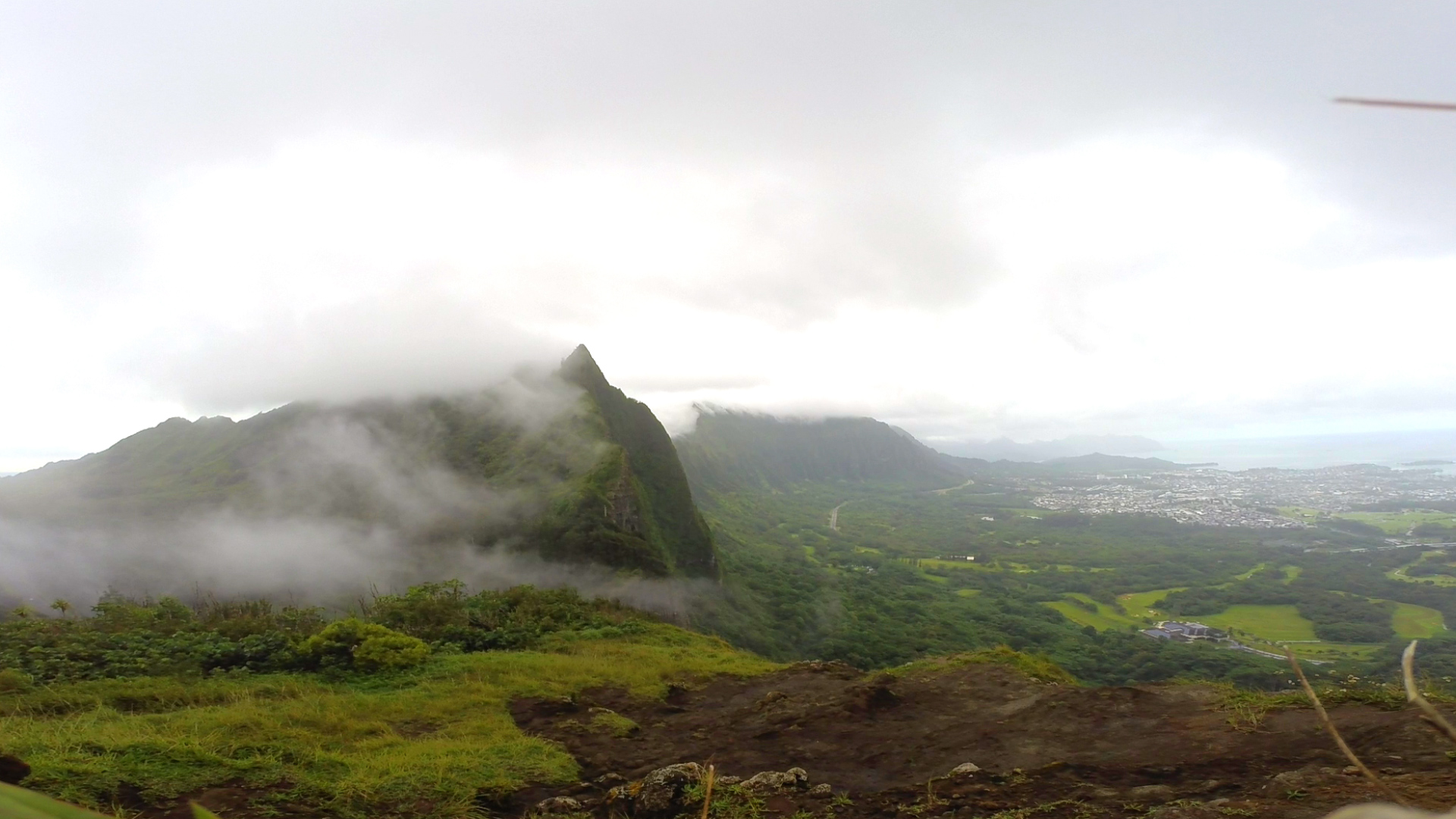
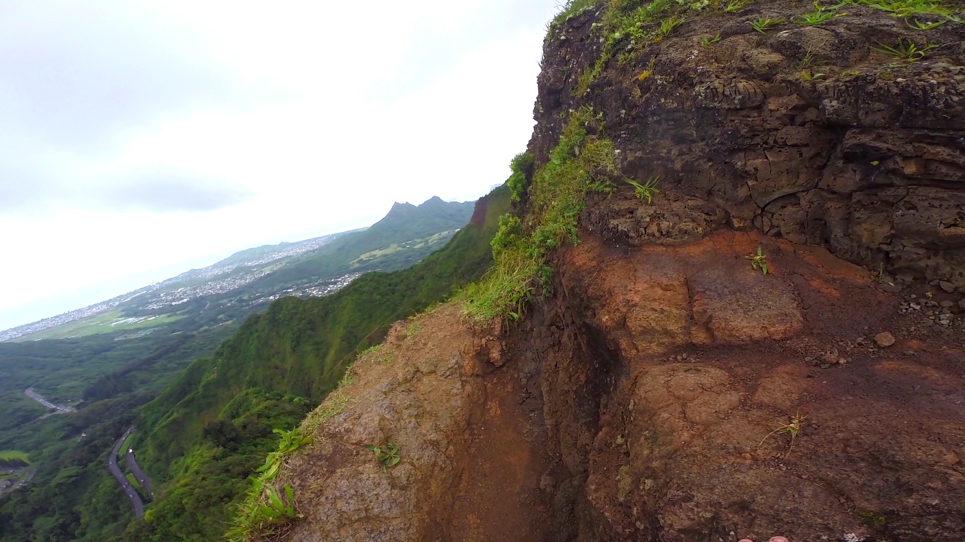
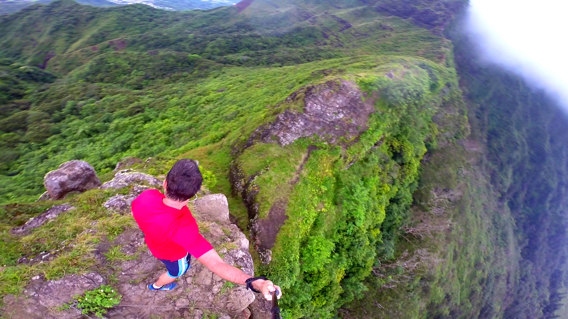
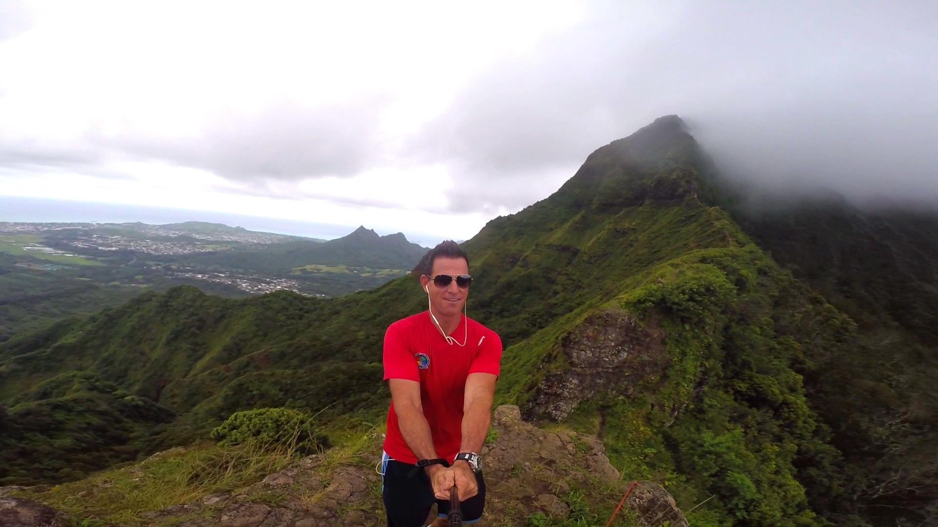
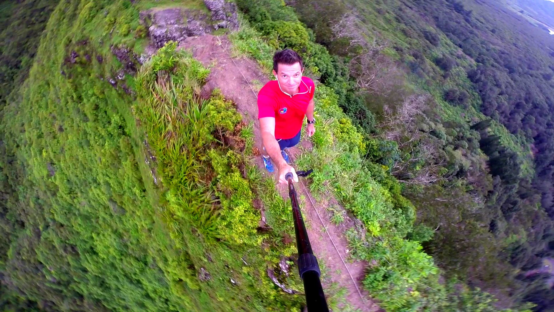
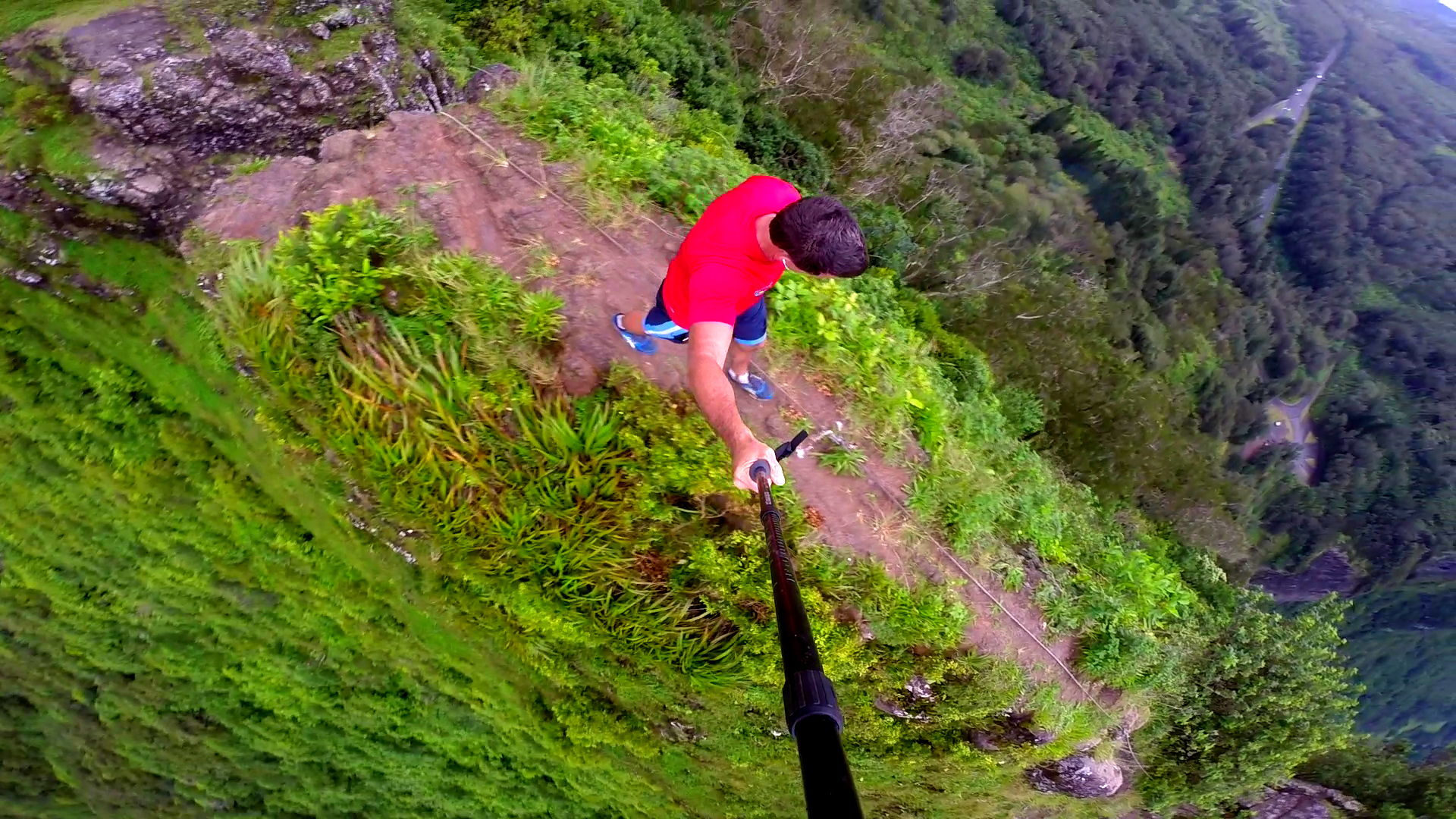
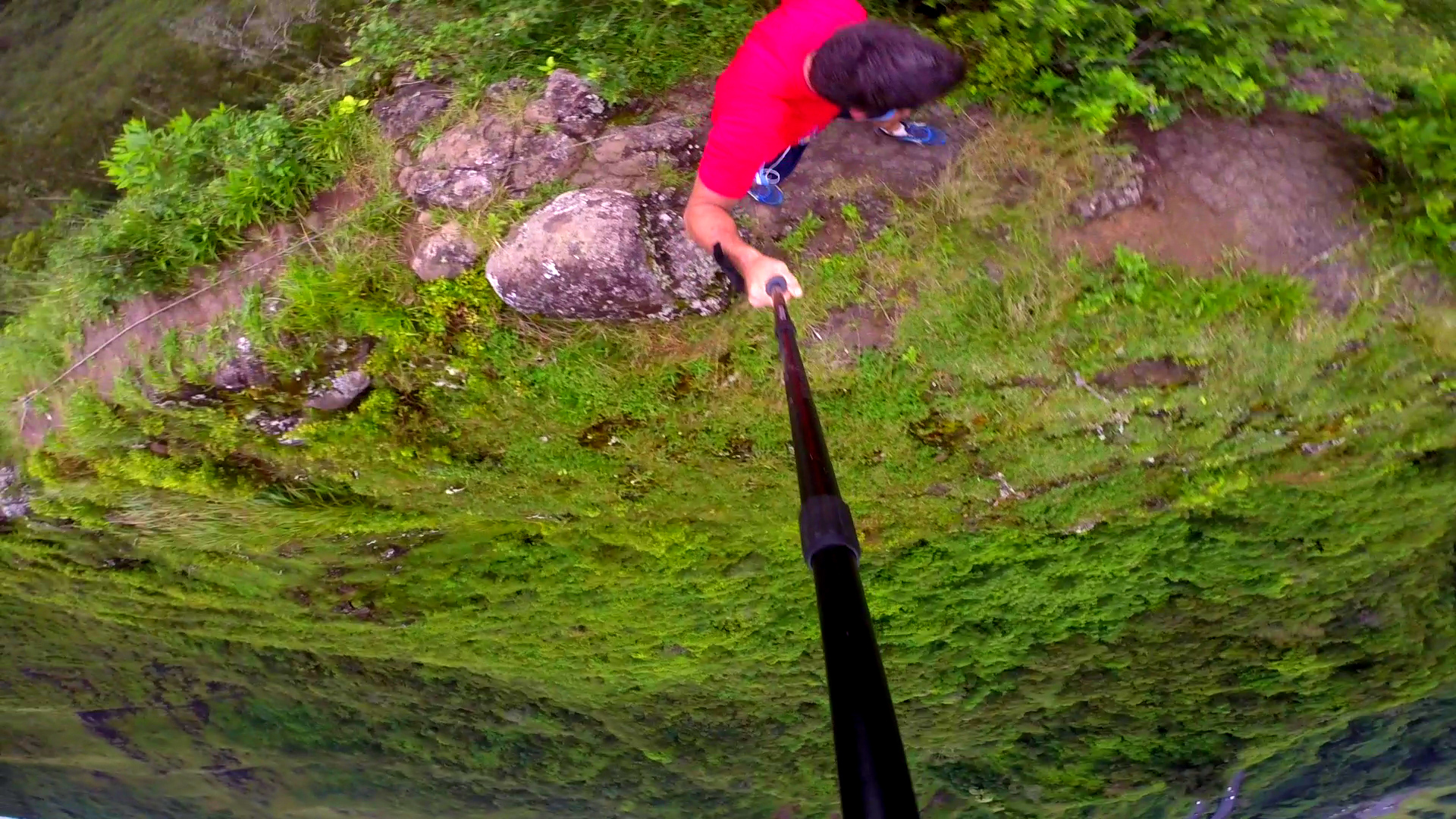
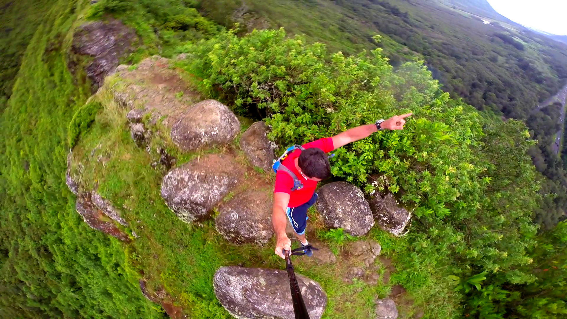
Pali Puka
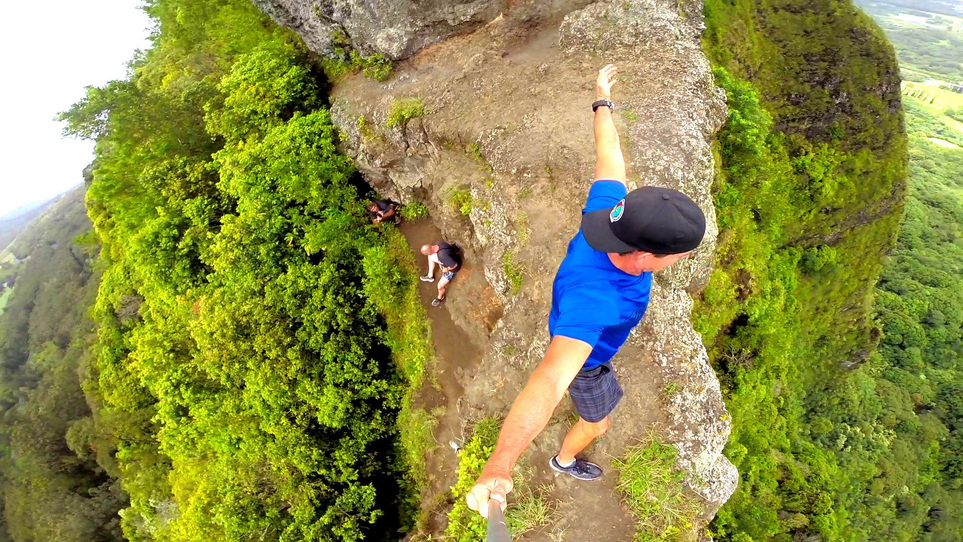
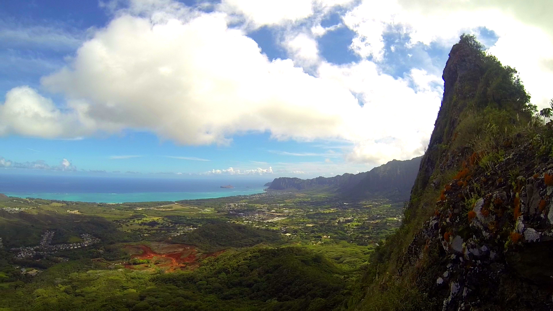
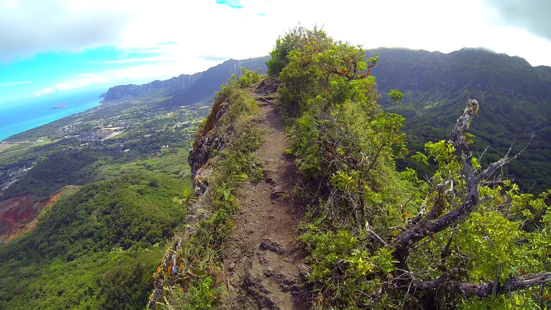
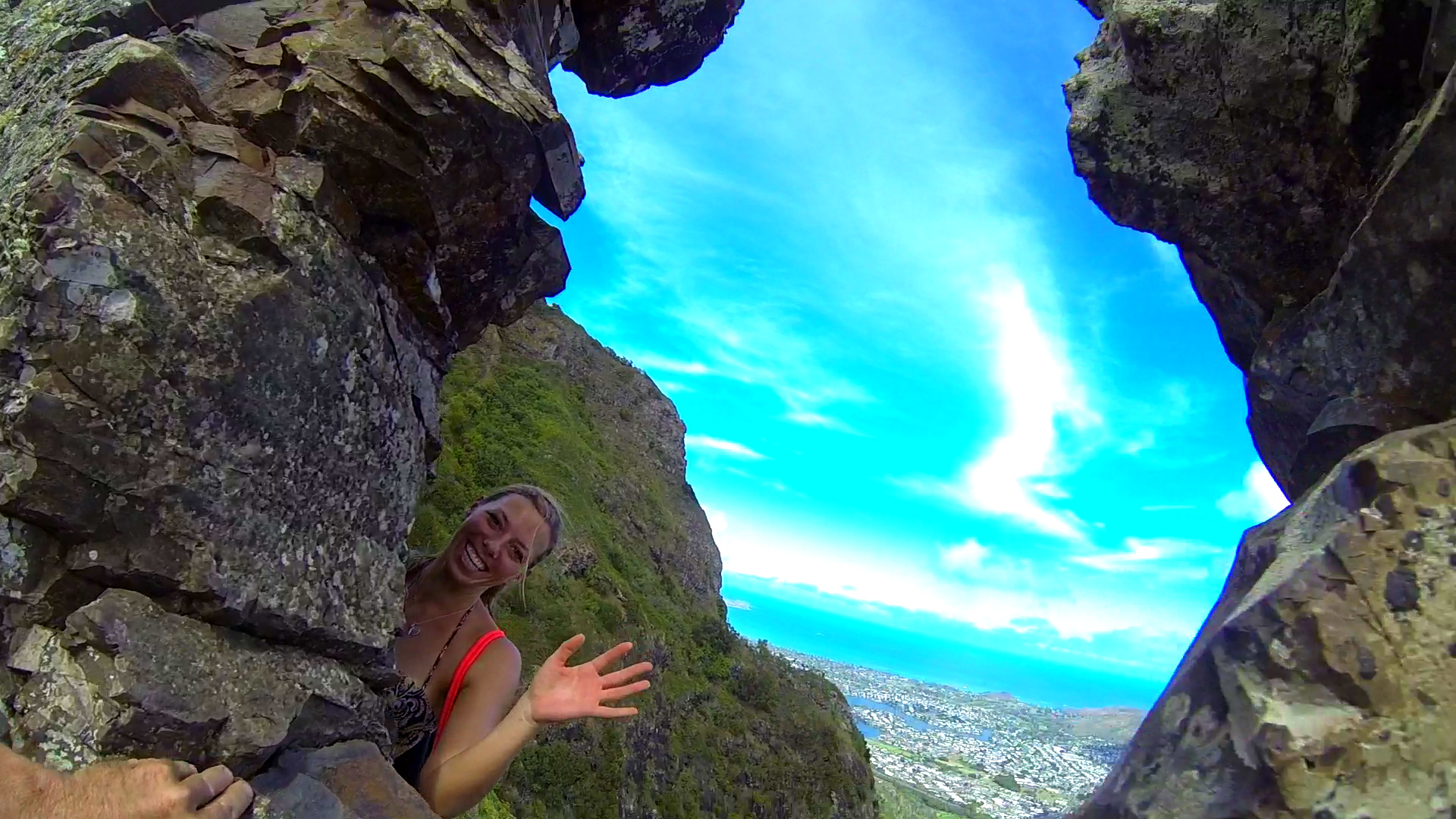
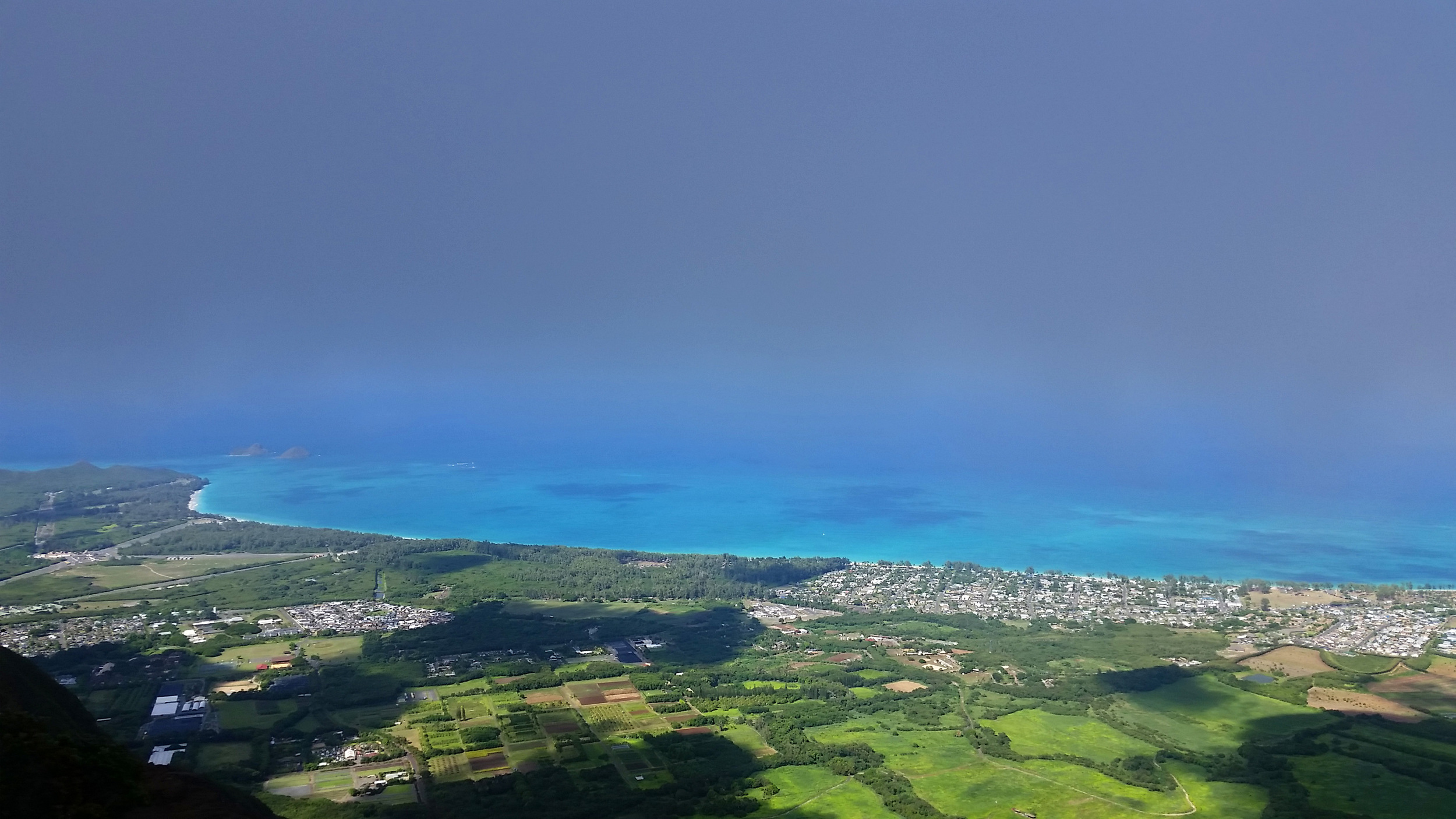
The Pali Puka (Puka means “hole” in Hawaiian) hike is a great 1.5 mile round trip ridgeline hike that offers a maximum return on your time investment taking about 1-2 hours for the round trip depending on how much time you take to soak in and capture the beauty. Beginning from the Pali Lookout area, the Pali Puka trail climbs along the narrow ridgeline of the Ko’olau Mountains. High winds and sheer vertical drops make this short hike an exciting trip. The panoramic vistas provided by this exposed trail are incredible, offering breathtaking views of O’ahu’s windward coast, from Kailua and Kane’ohe all the way to Kualoa. At the trail’s peak is the Pali Puka, a small hole or “window” in the rock face of the mountain, said to be a hiding spot for Hawaiian warriors as they watched for approaching enemies.


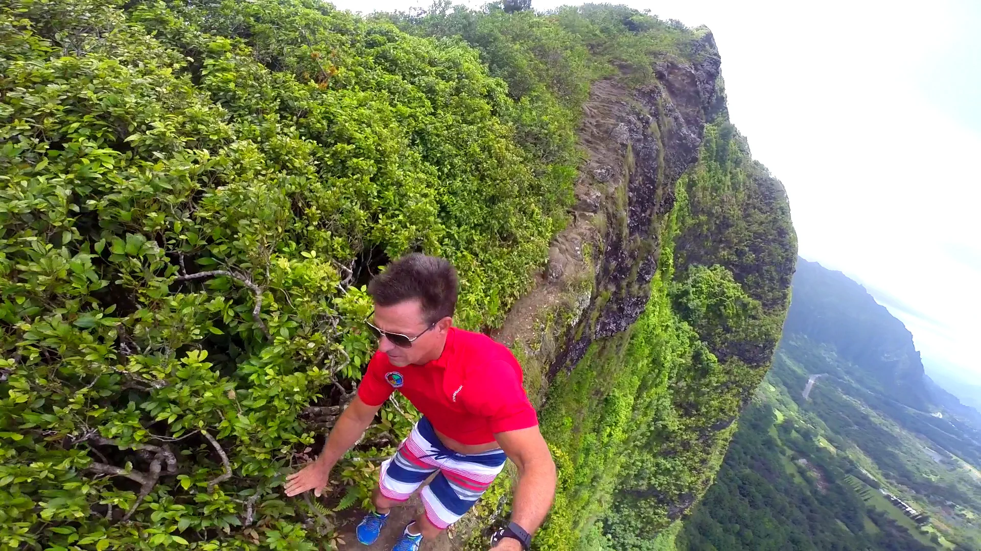


The Nuʻuanu Pali lookout was the site of the Battle of Nu'uanu, one of the bloodiest battles in Hawaiian history, in which Kamehameha I conquered the island of Oahu, bringing it under his rule in 1795. The pivotal battle for the island occurred in Nuʻuanu Valley, where the defenders of Oahu, led by Kalanikupule, were driven back up into the valley where they were trapped above the cliff. More than 400 of Kalanikūpule's soldiers were driven off the edge of the cliff to their deaths 1,000 feet below.
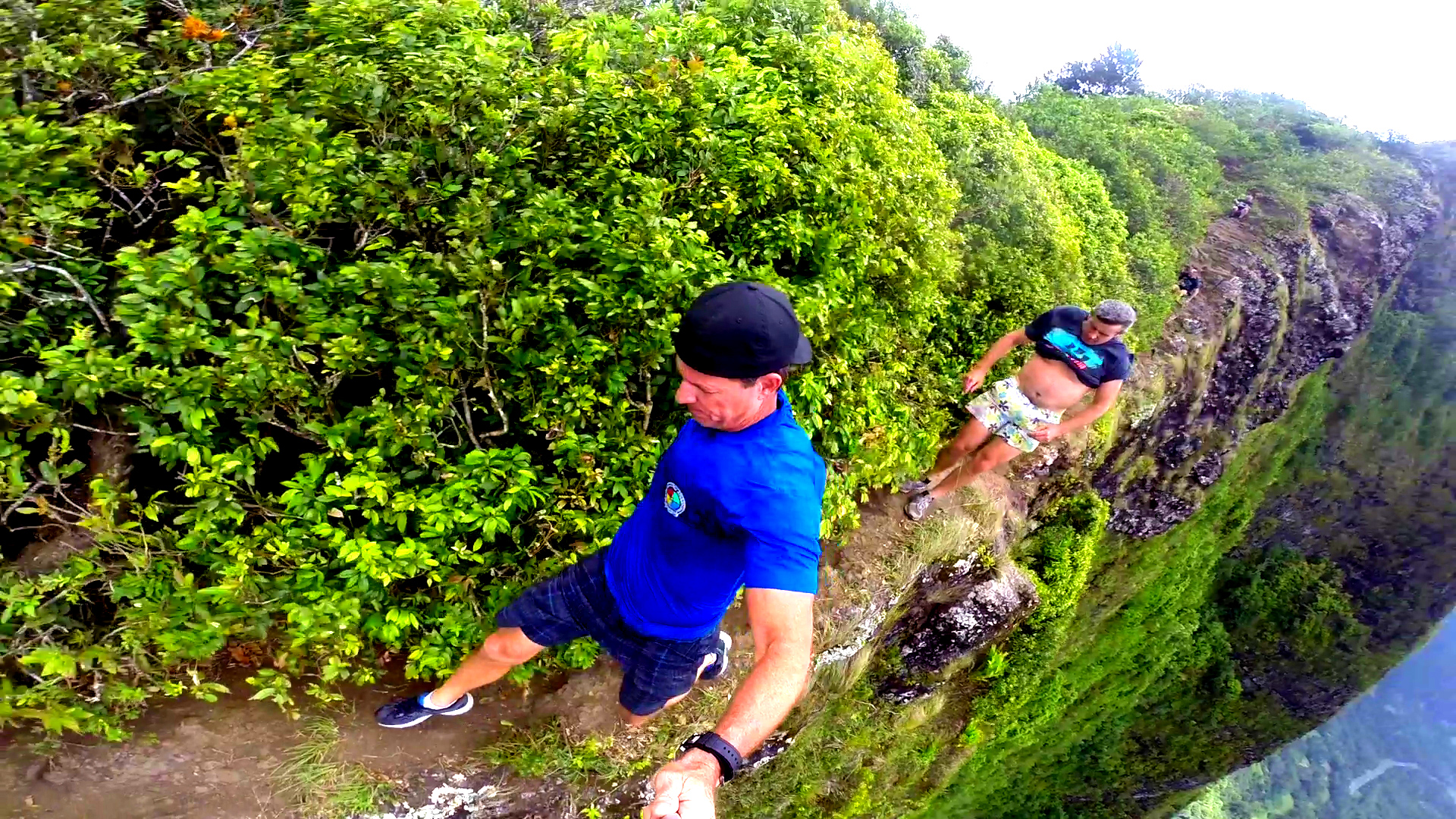
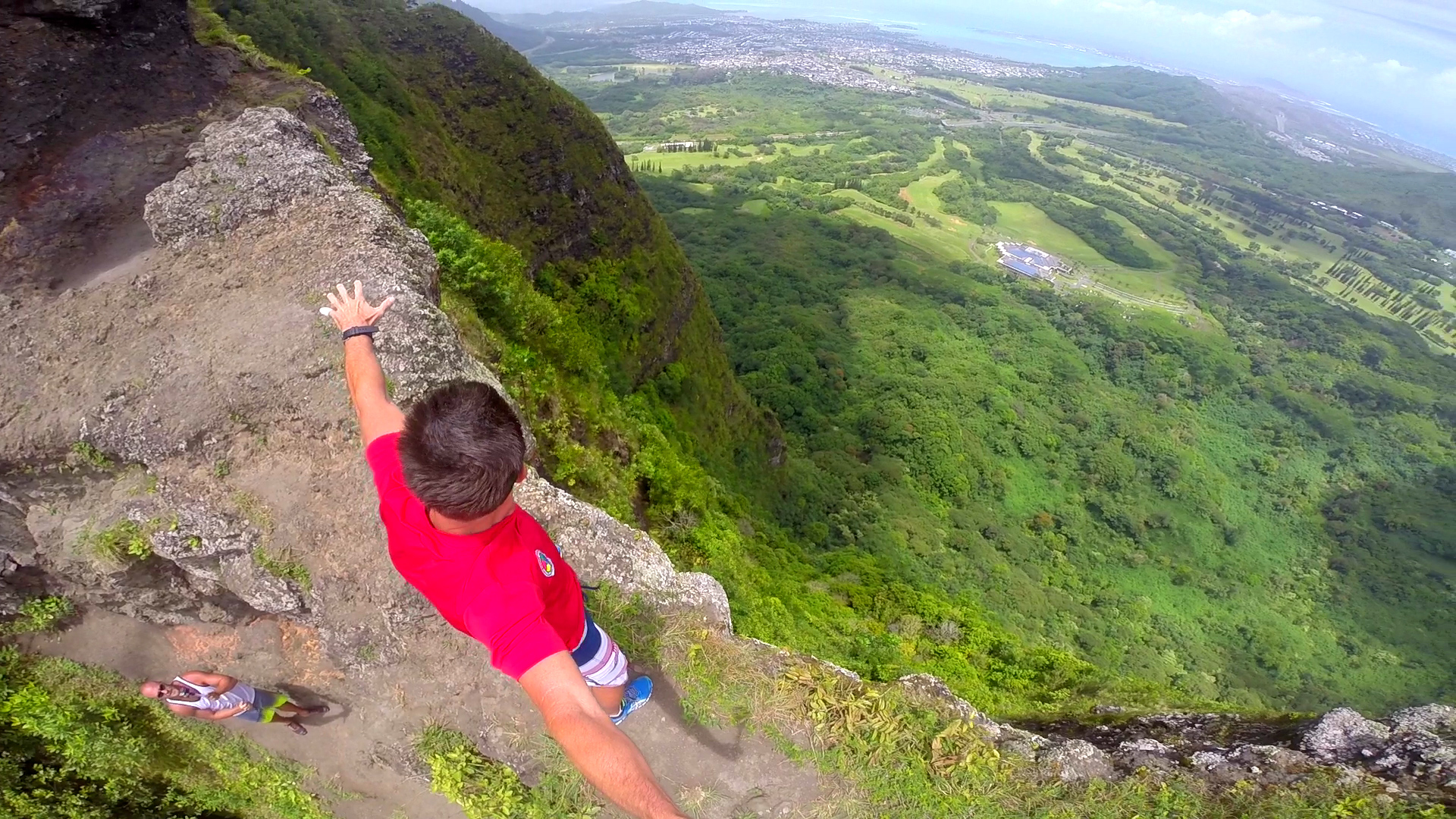
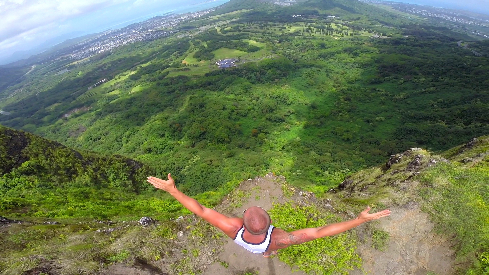
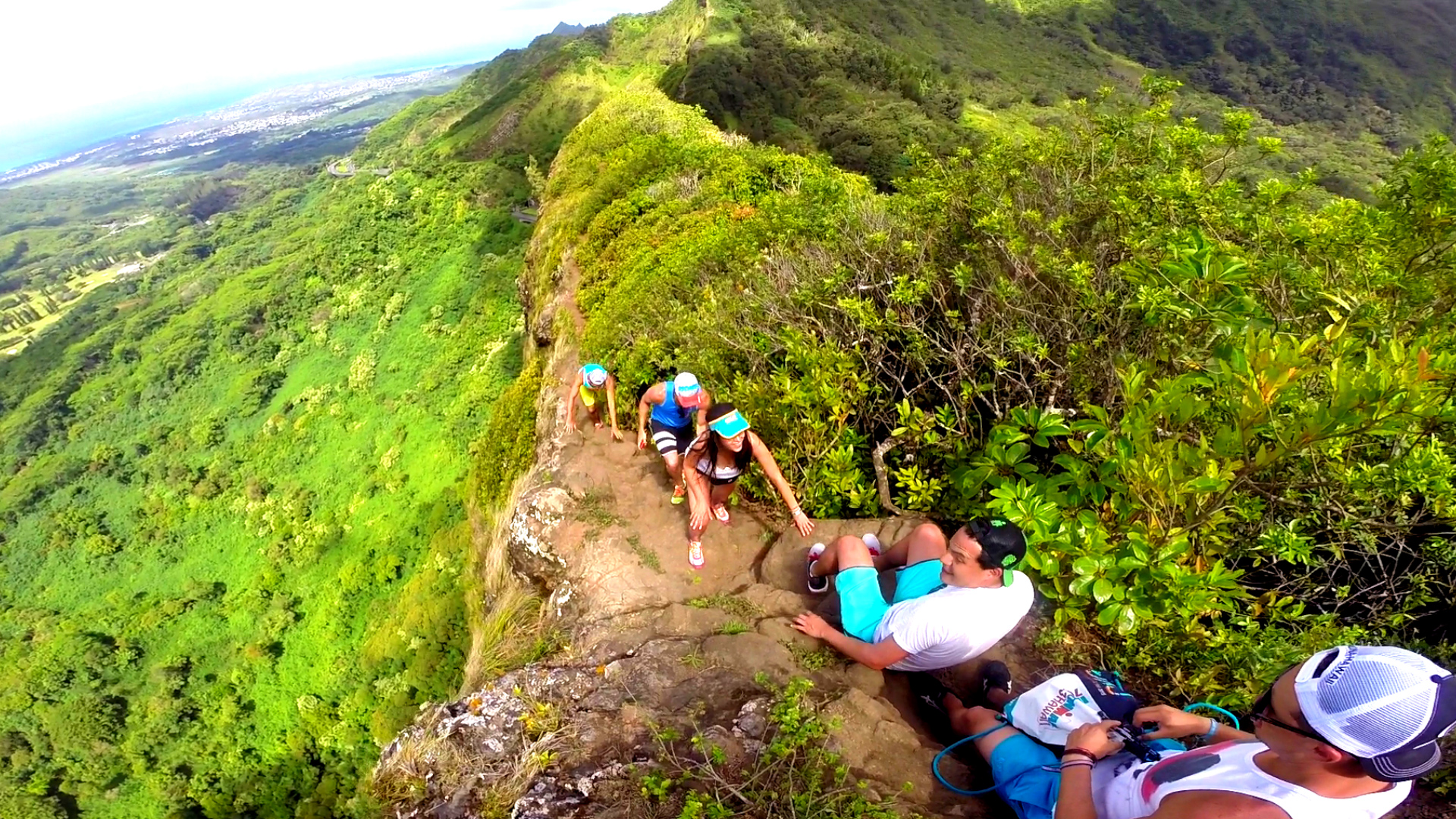
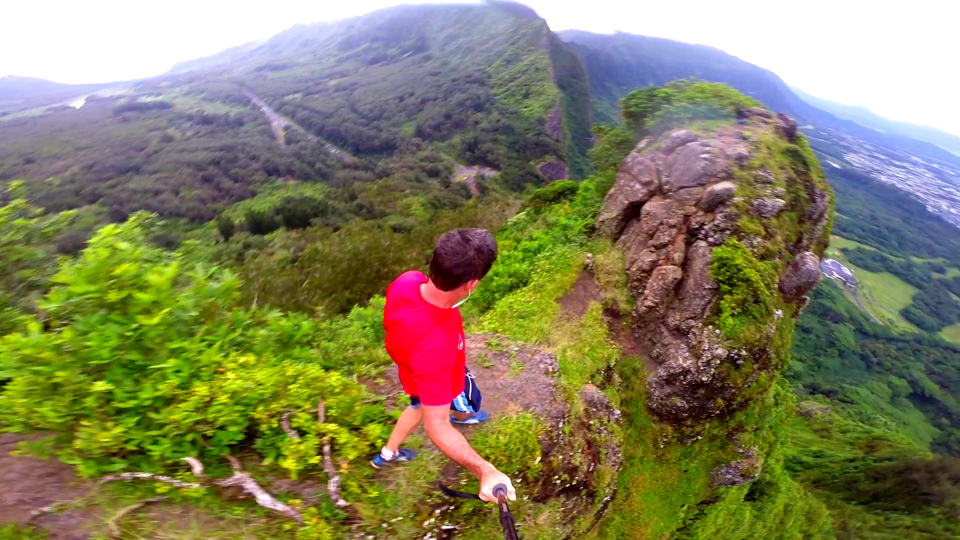
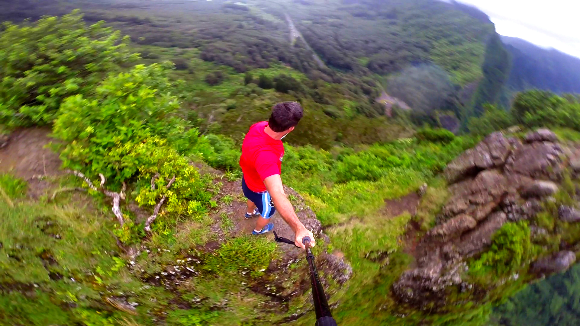
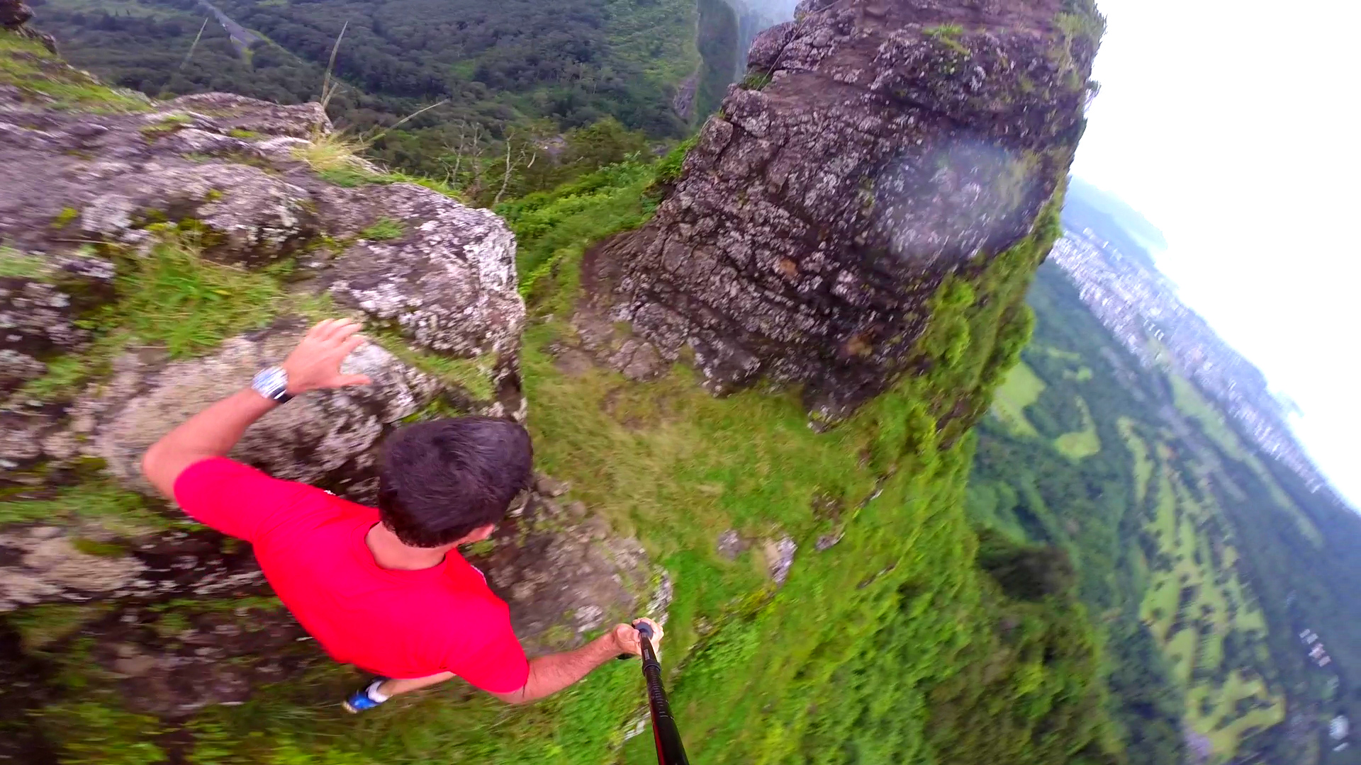
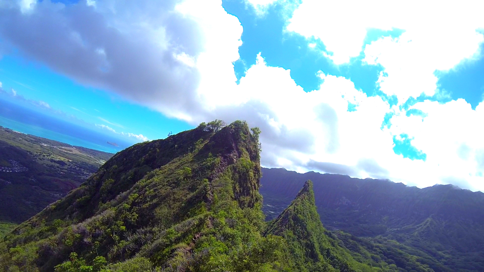
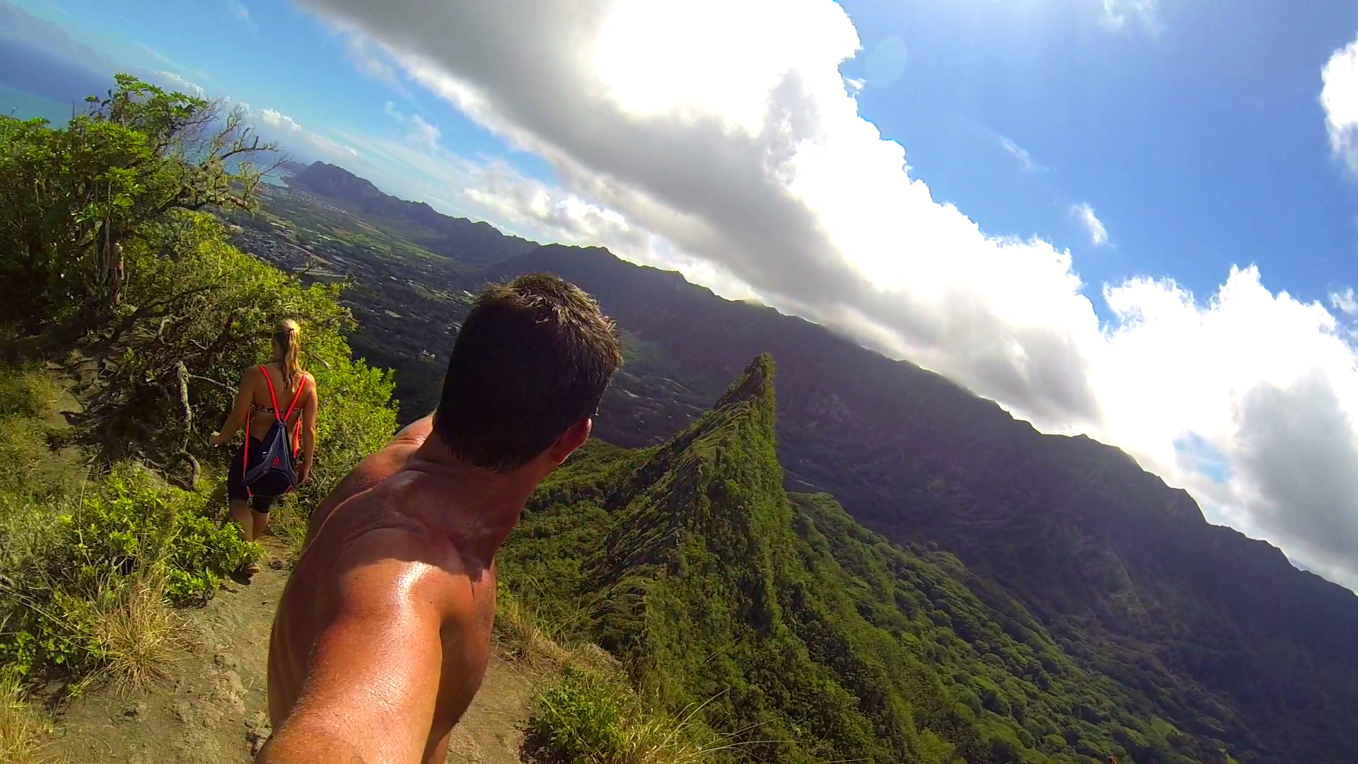
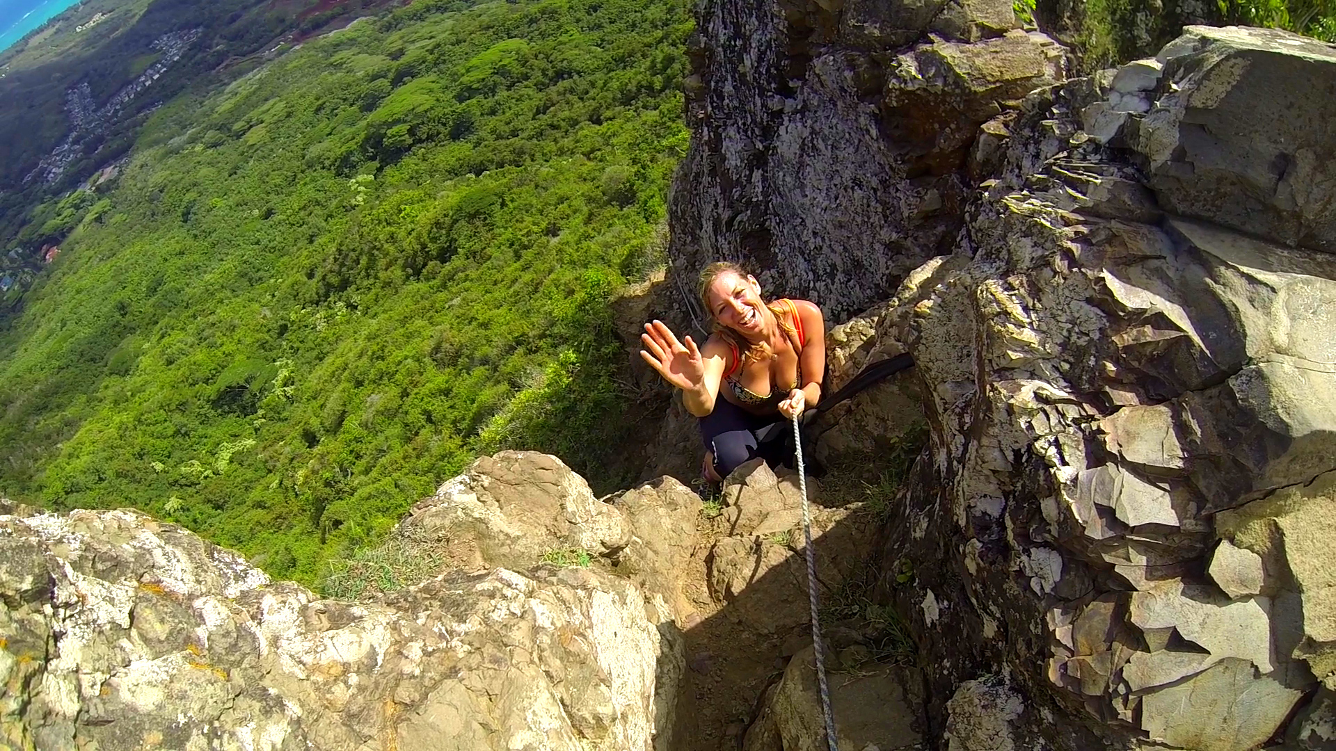
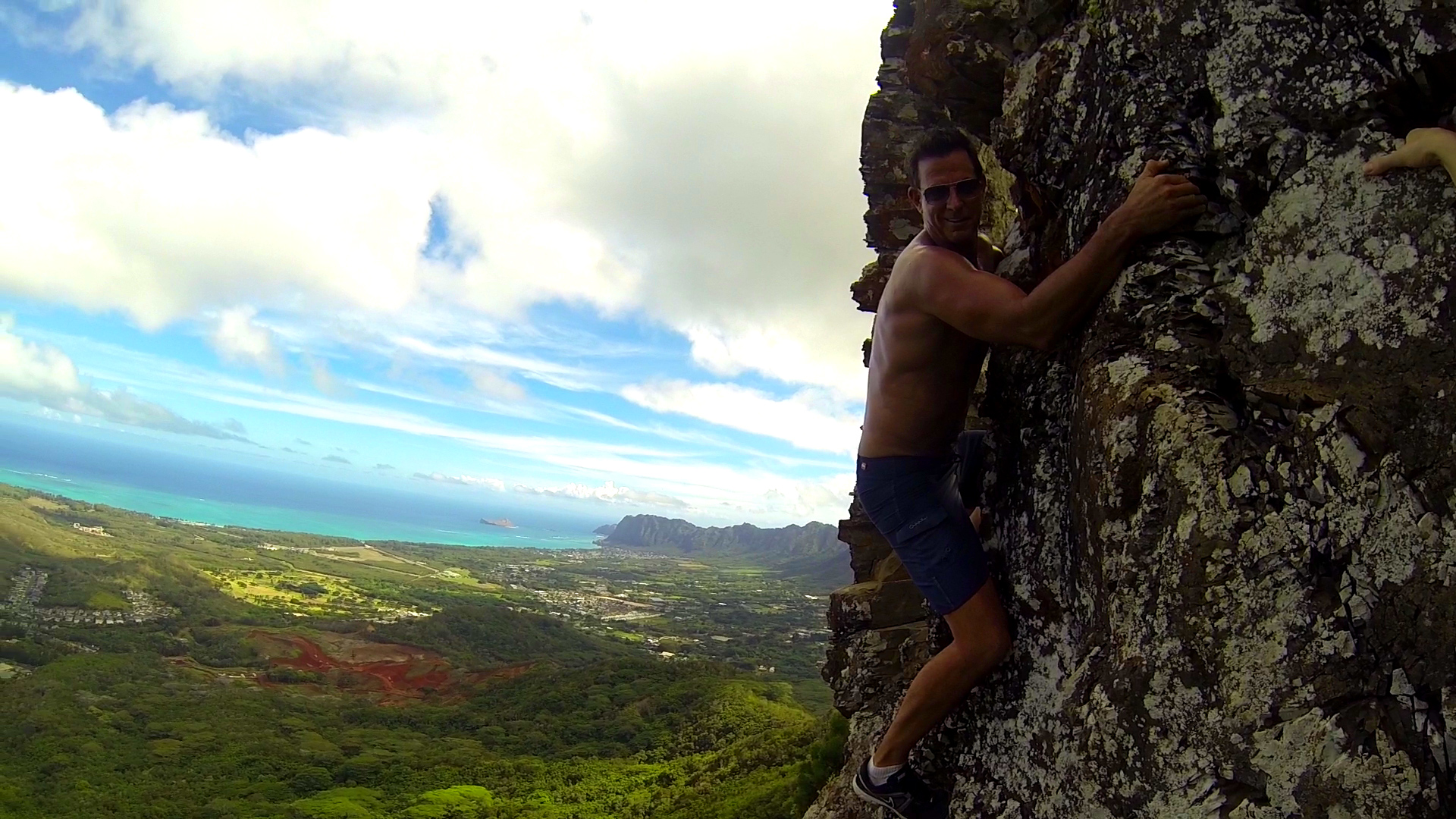
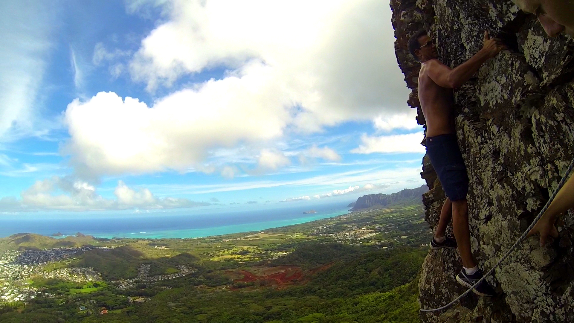
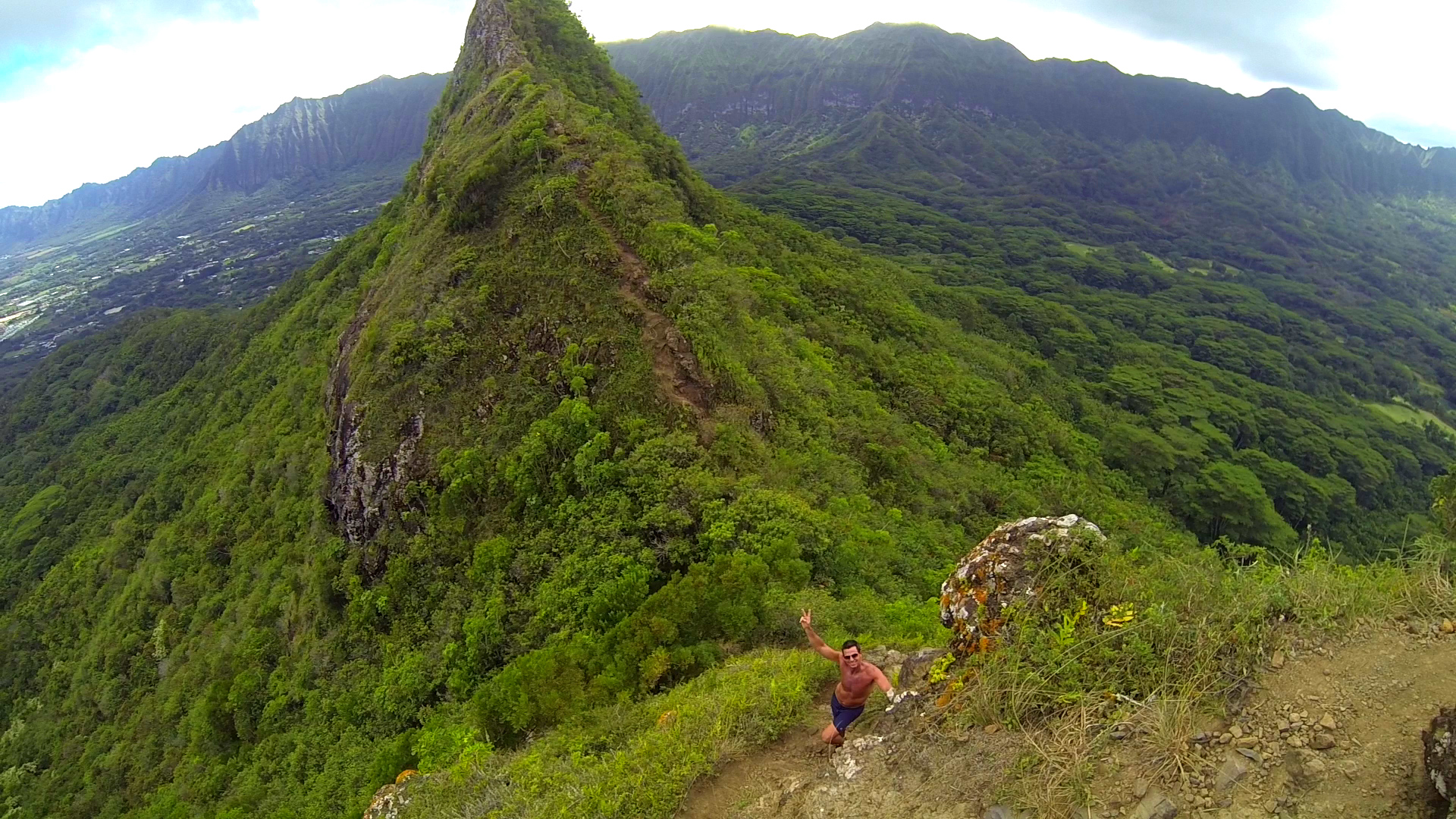
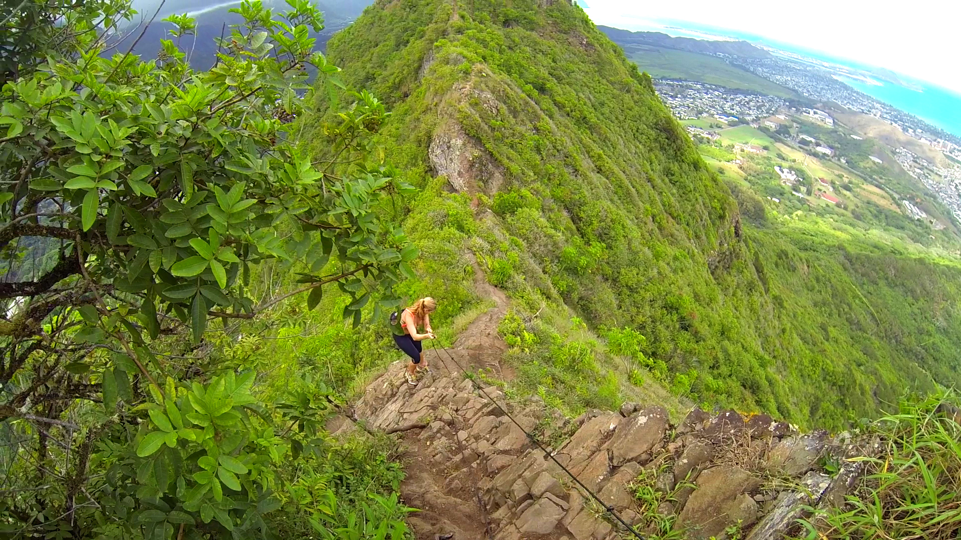
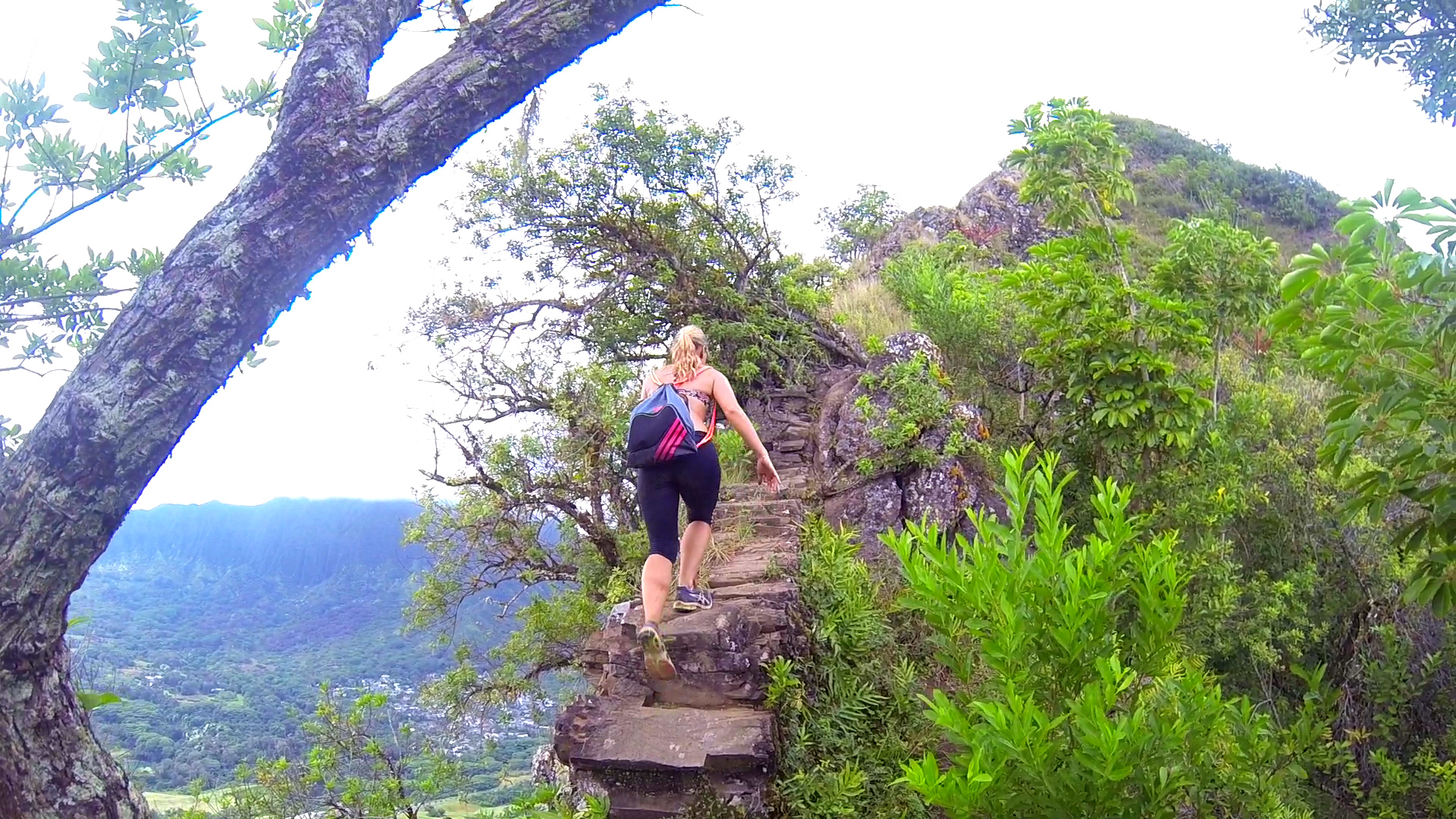
Pali Noches
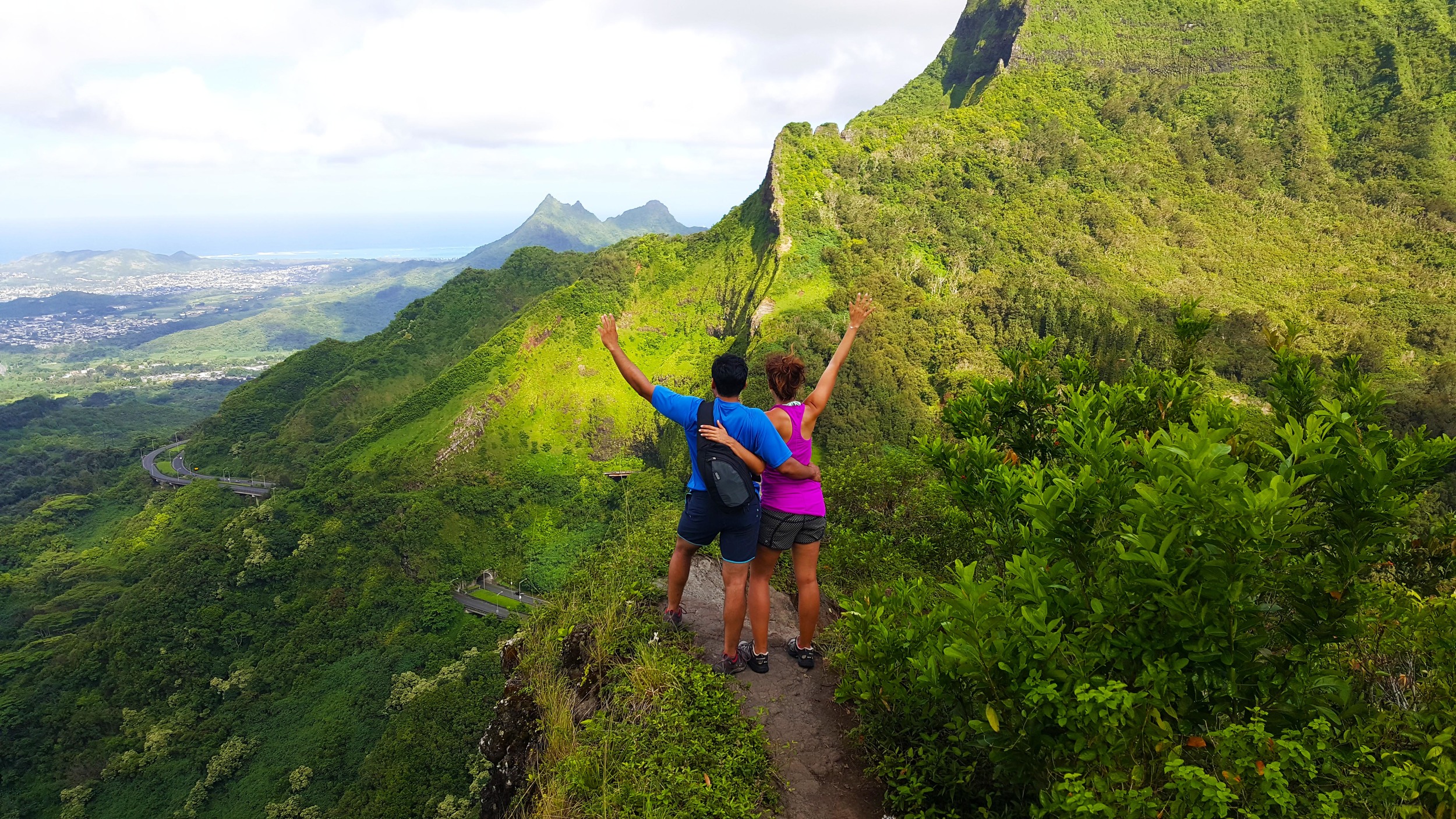
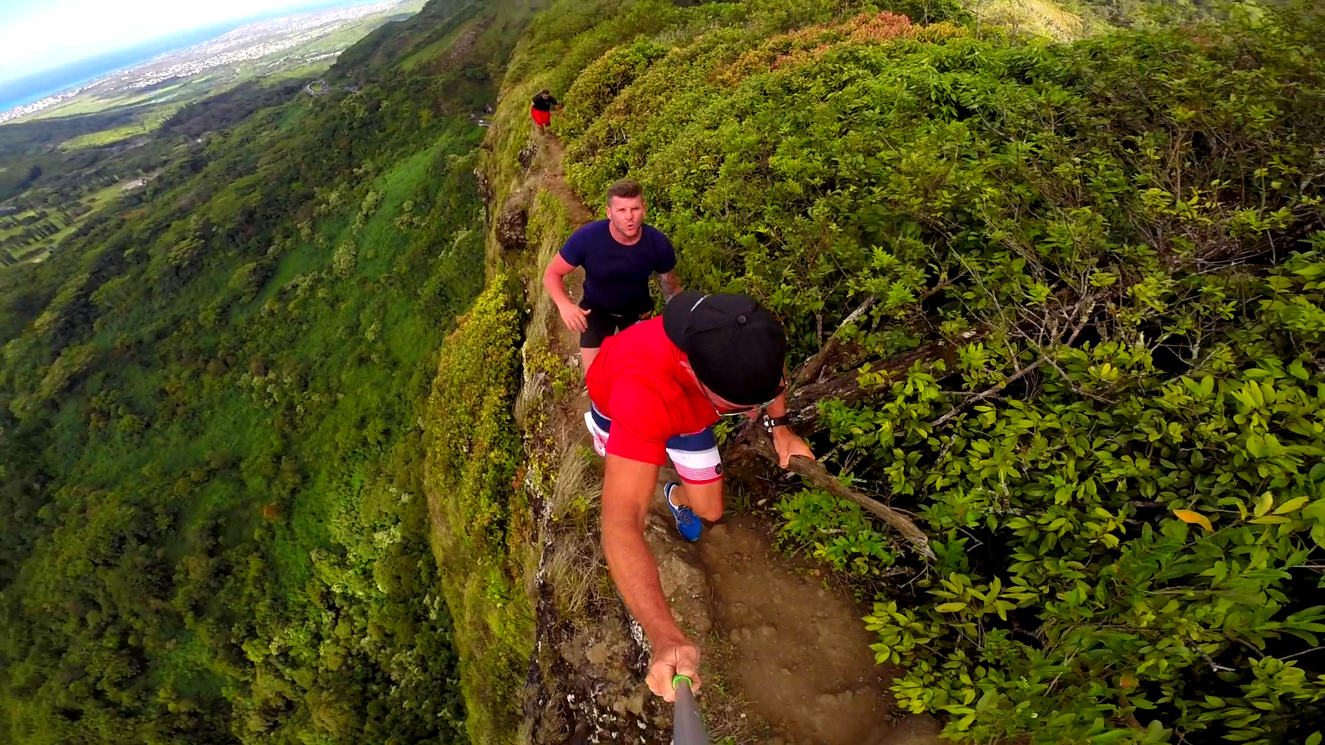
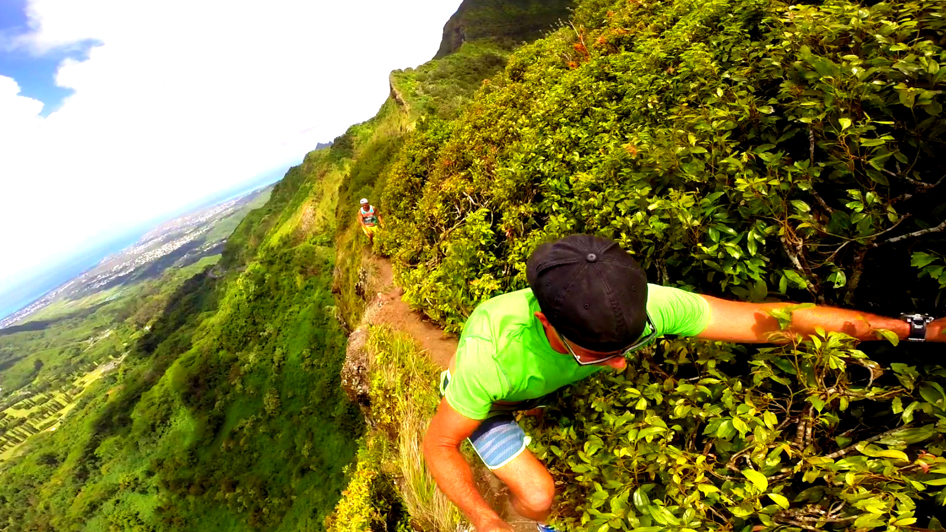
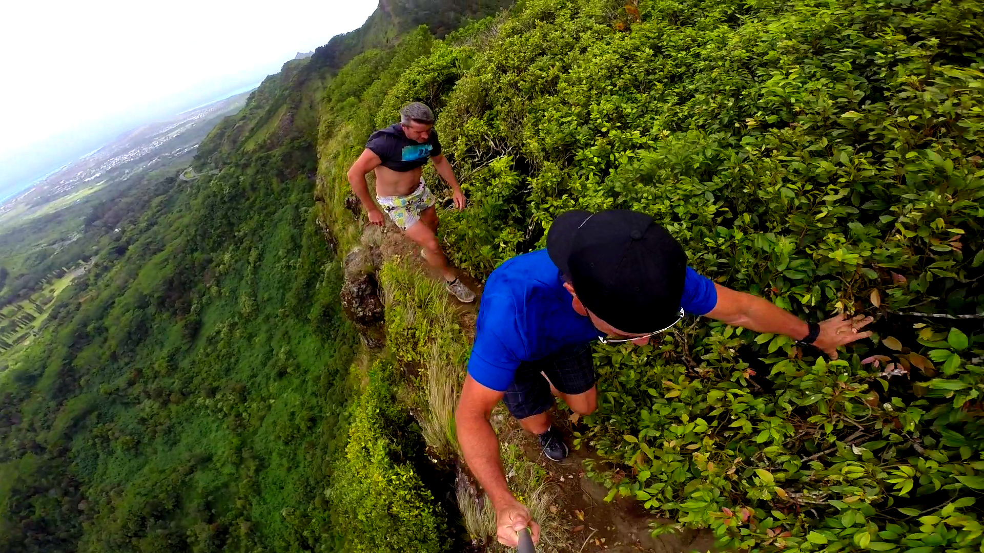
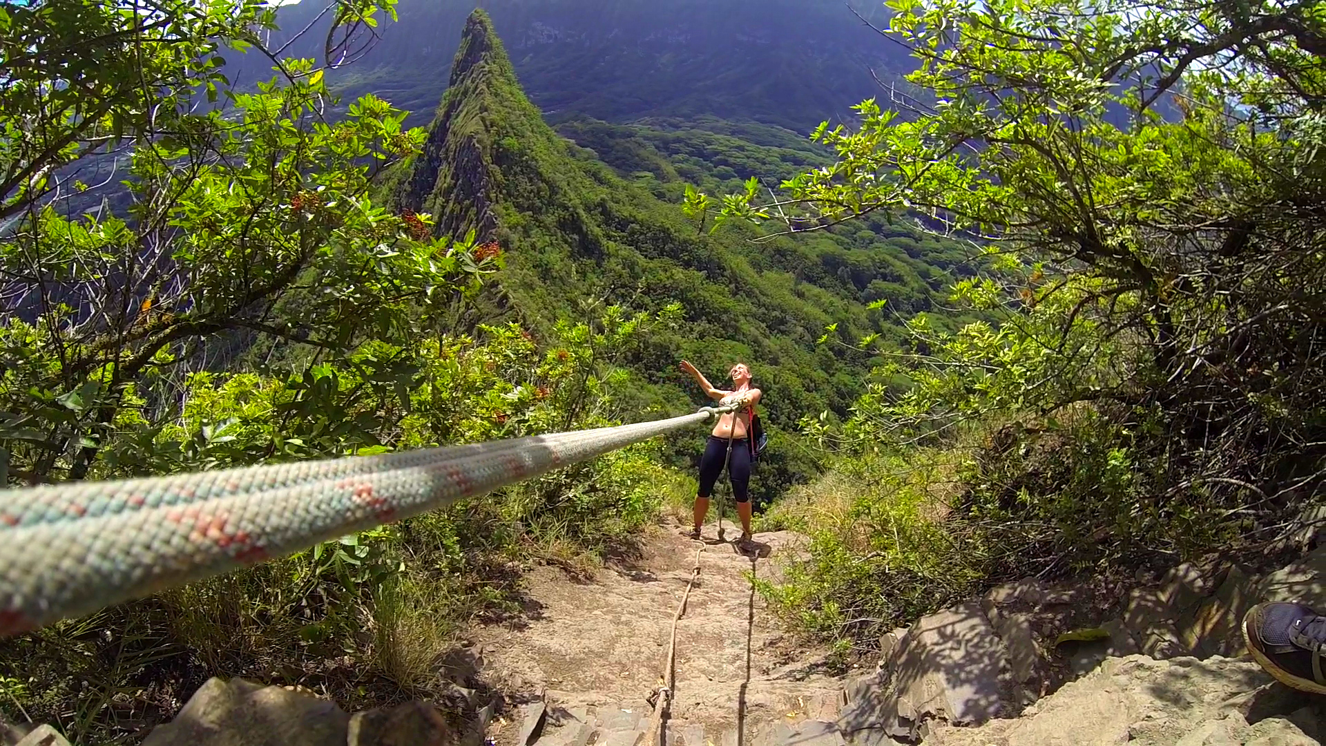
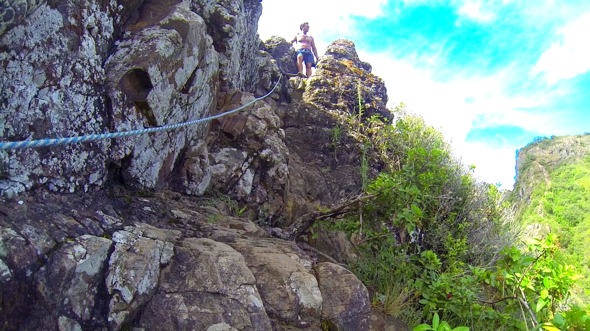
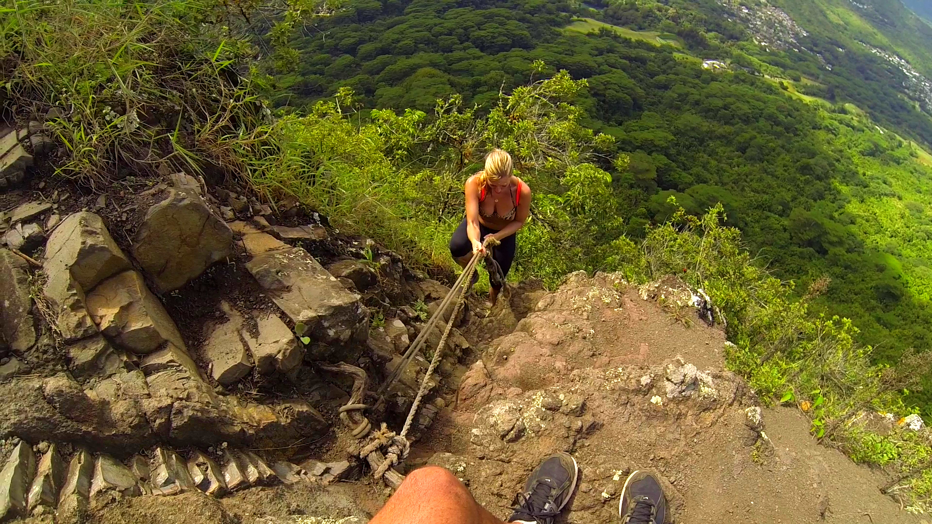
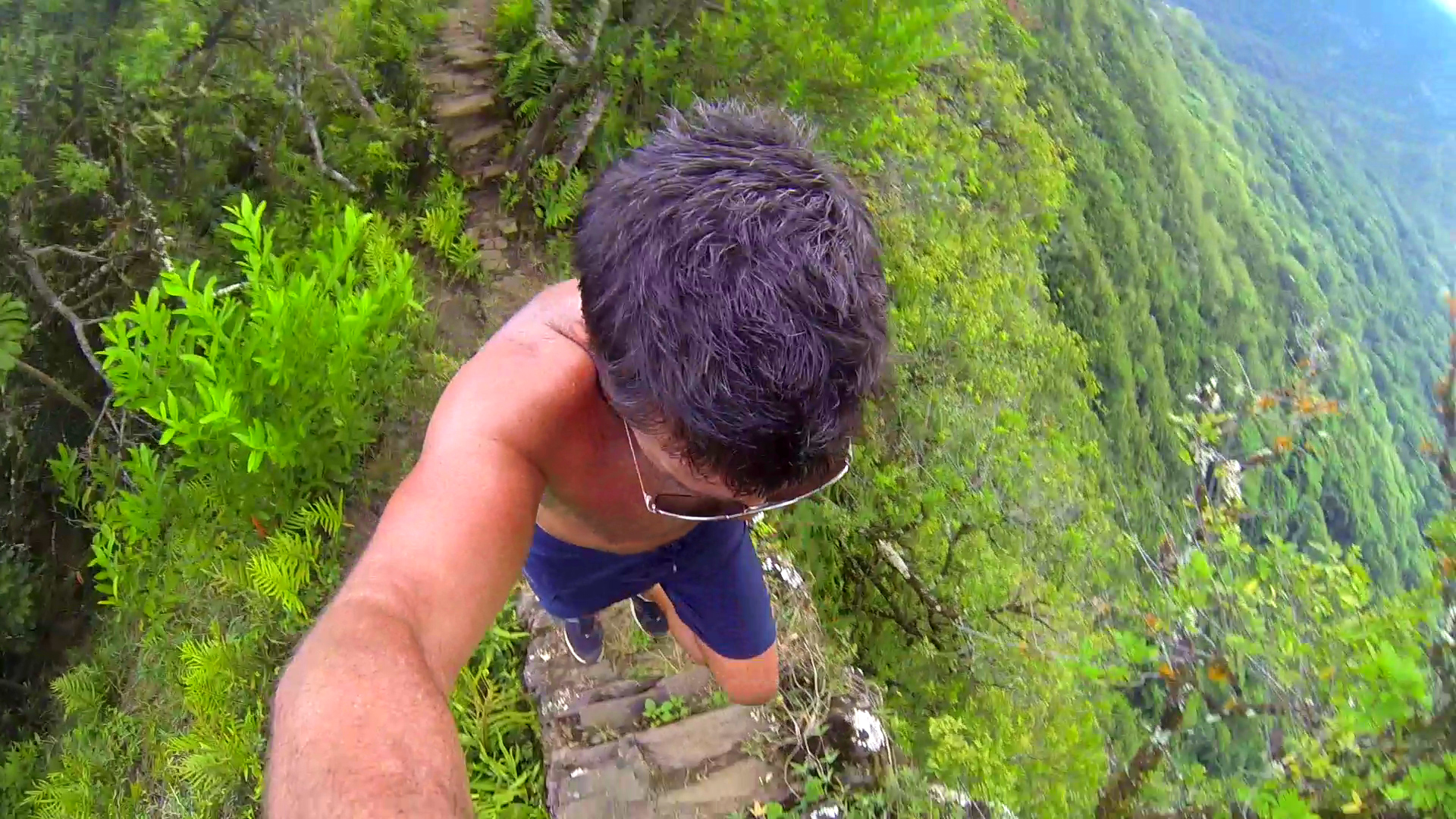
Pali Noches is located on the direct opposite side from the Pali Puka trail. If you are at the Pali Lookout facing the valley and ocean, Pali Puka is the ridgeline to your left and Pali Noches is to your right. The hike up to the notches is considered a more advanced, .8 mile hike. It is very steep and the dirt is loose on a dry day and very slippery on a wet day. Once you reach the “notches” the climb into and out of the notches are assisted by ropes.
Like the Pali Puka Hike, this trail climbs along the narrow ridgeline of the Ko’olau Mountains. High winds and sheer vertical drops make this hike an exciting trip. The panoramic vistas provided by this exposed trail are incredible, offering breathtaking views of O’ahu’s windward coast, from Kailua and Kane’ohe all the way to Kualoa.
The story of the Pali Notches goes all the way back to 1795 during Kamehameha's conquest of the islands. Kaʻiana, one of Kamehameha's leaders, defected to Kalanikūpule of Oʻahu shortly before the battle of Nuʻuanu. Legend has it that the notches were carved out by Oʻahu warriors with the help of Kaʻiana's men as a place to station two canons in preparation for the defense against Kamehameha and his invading forces. However, Kamehameha was alerted of this beforehand; he ordered some of his soldiers to march up Kōnāhuanui and then down to the notches, capturing the canons and using them against Kalanikūpule's forces.


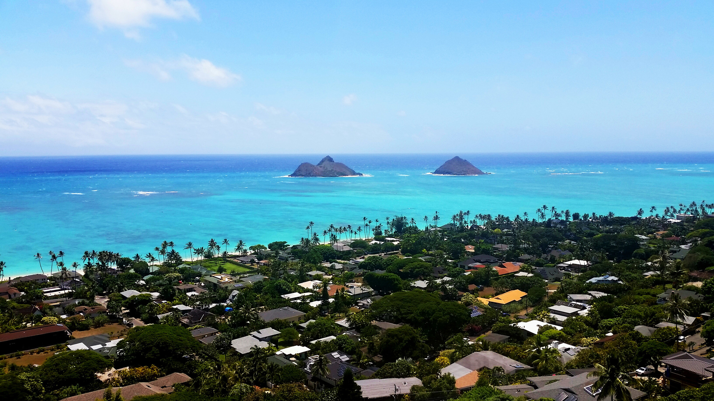
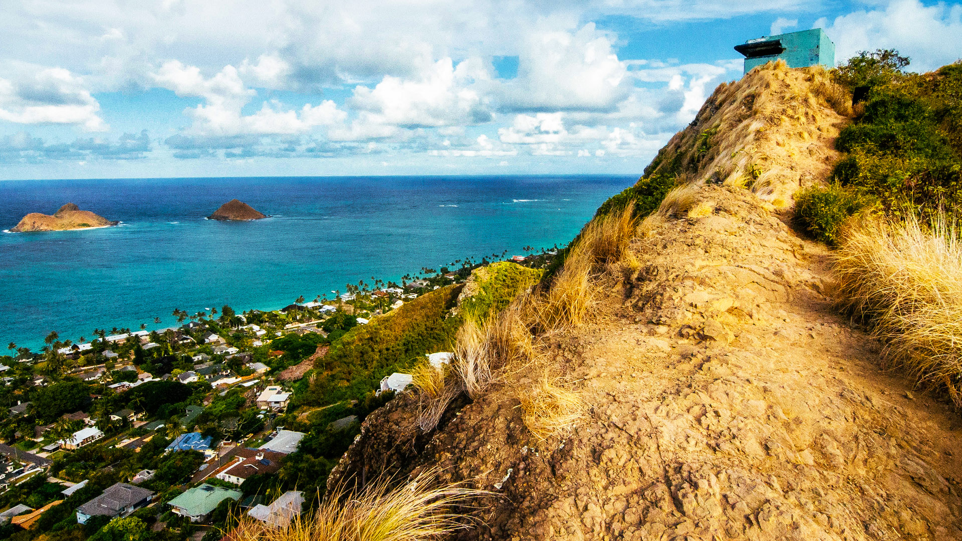
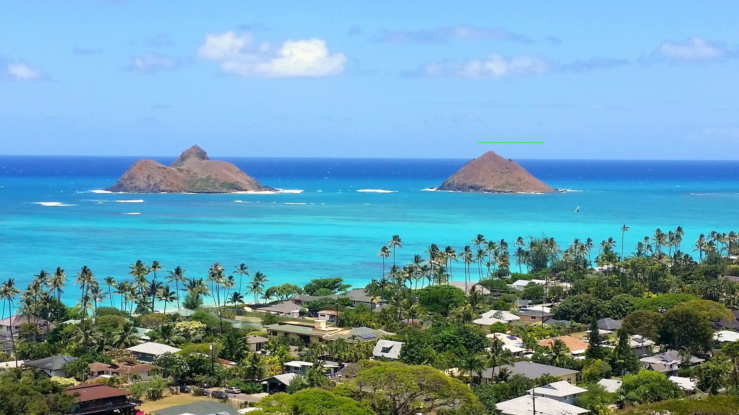
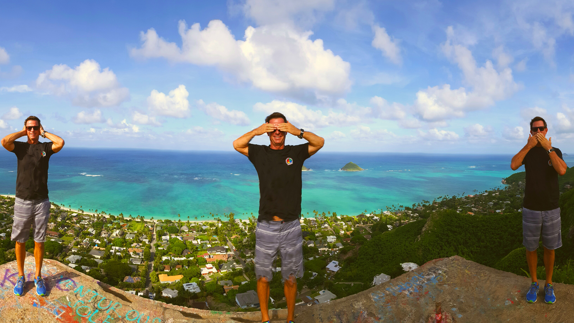
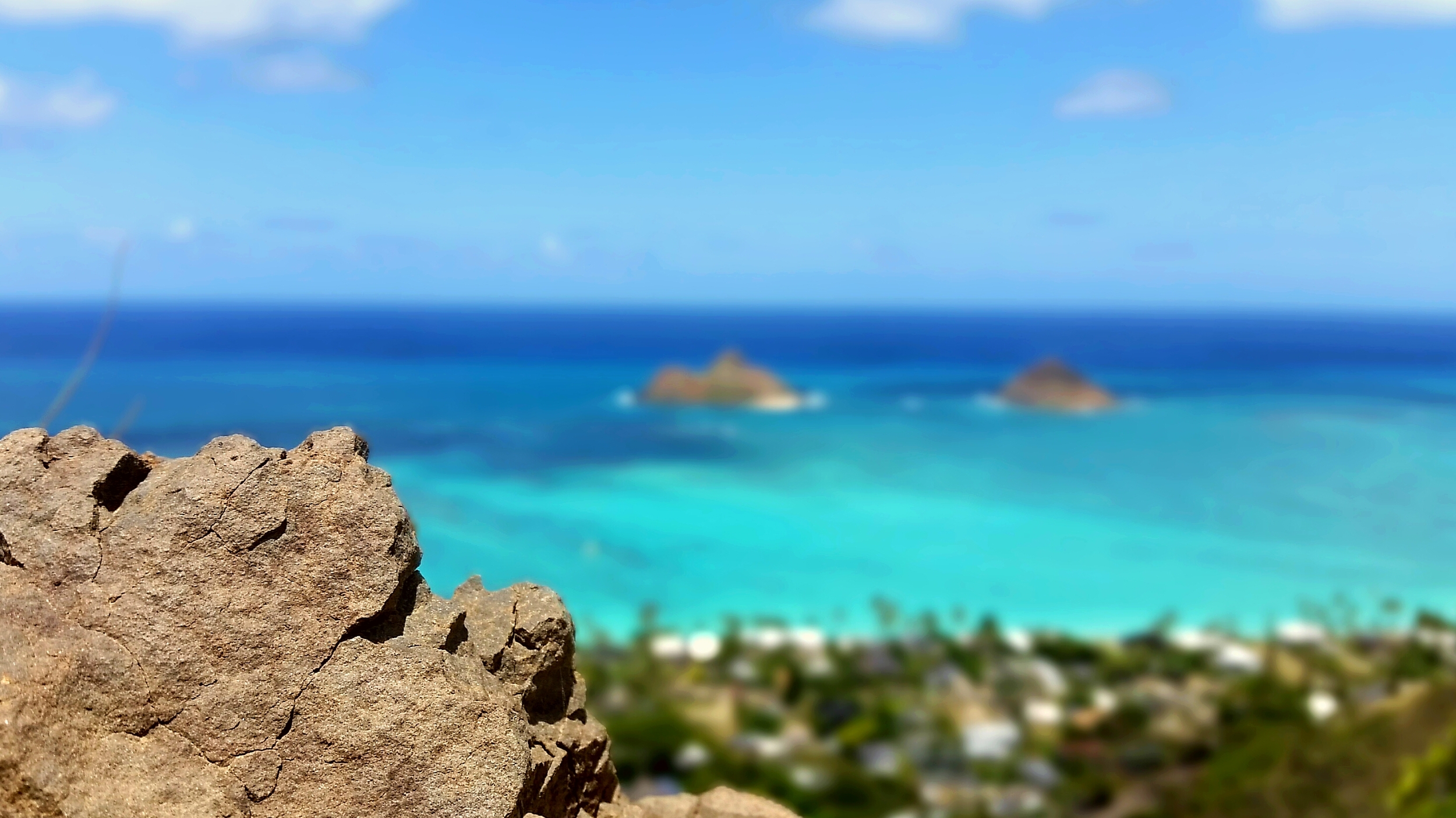
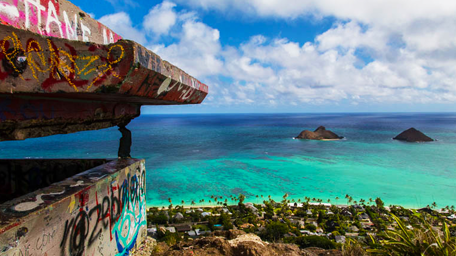
Lanikai Pillbox Hike
The Lanikai Pillboxes hike (a.k.a. Ka’iwa Ridge Trail) is a popular, relatively easy and one of the most scenic. You can complete the intermediate hike in about an hour if you wanted to. But once you see the sweeping views of Kailua and Lanikai from the ridge, you may want to spend more time on the trail. The 1.6 mile round-trip hike gains 600ft so it is steep in places with great views along the way.


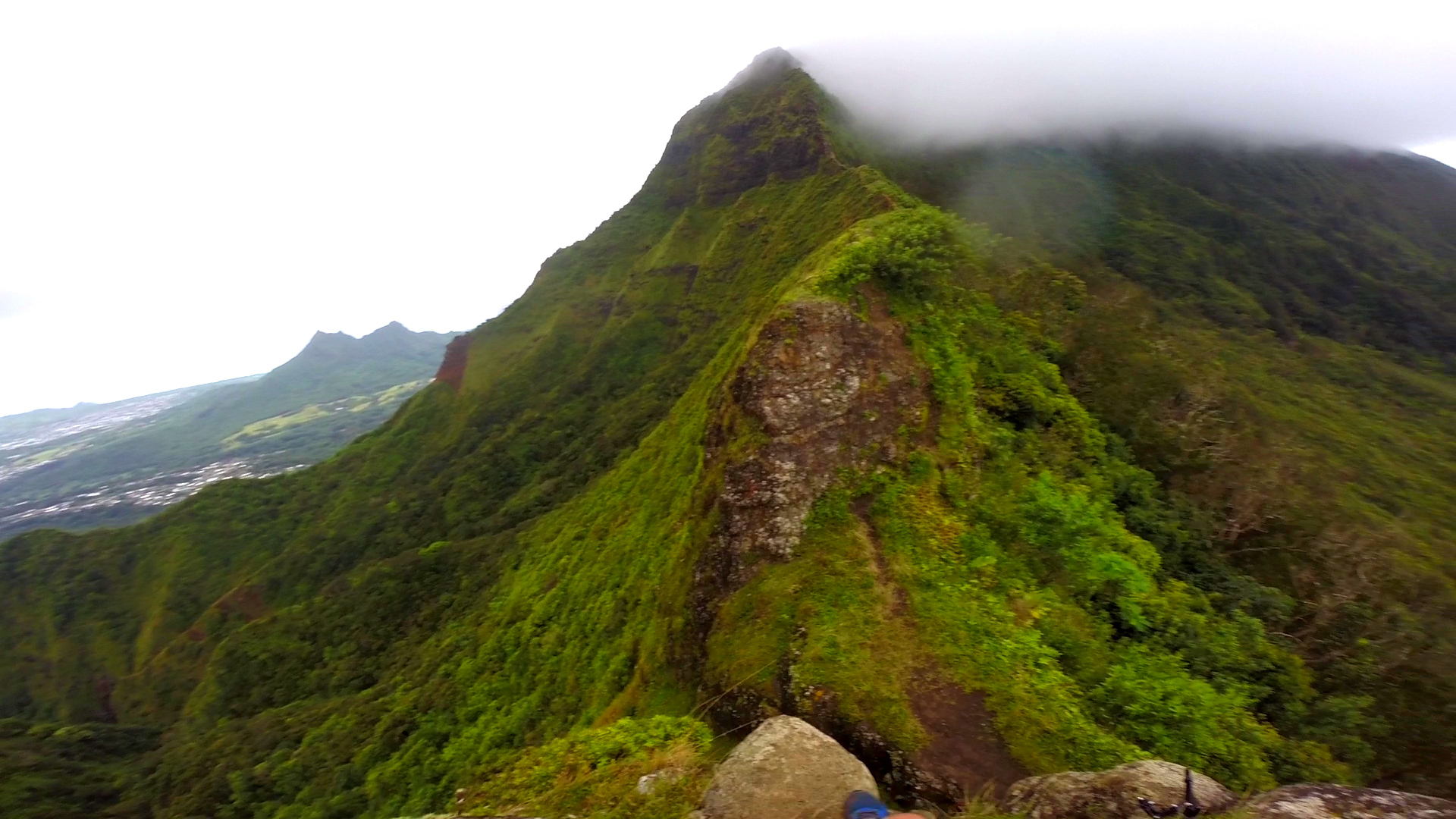
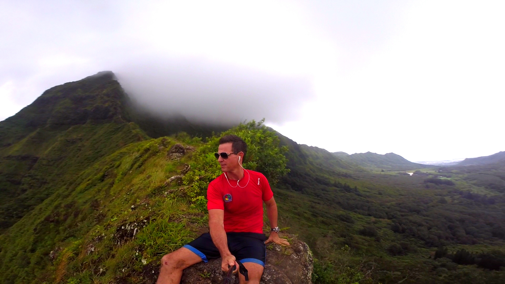
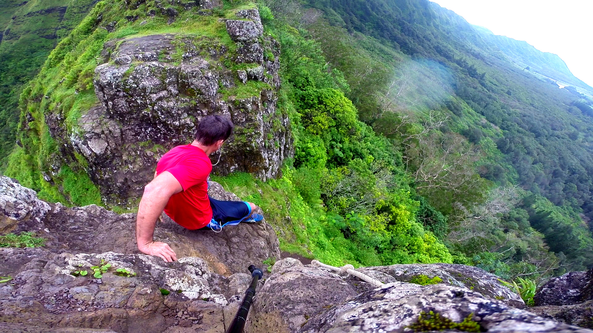
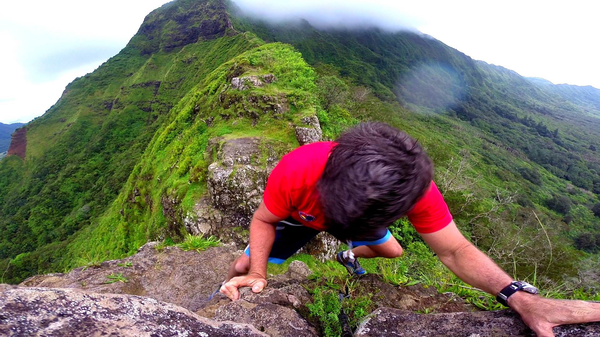
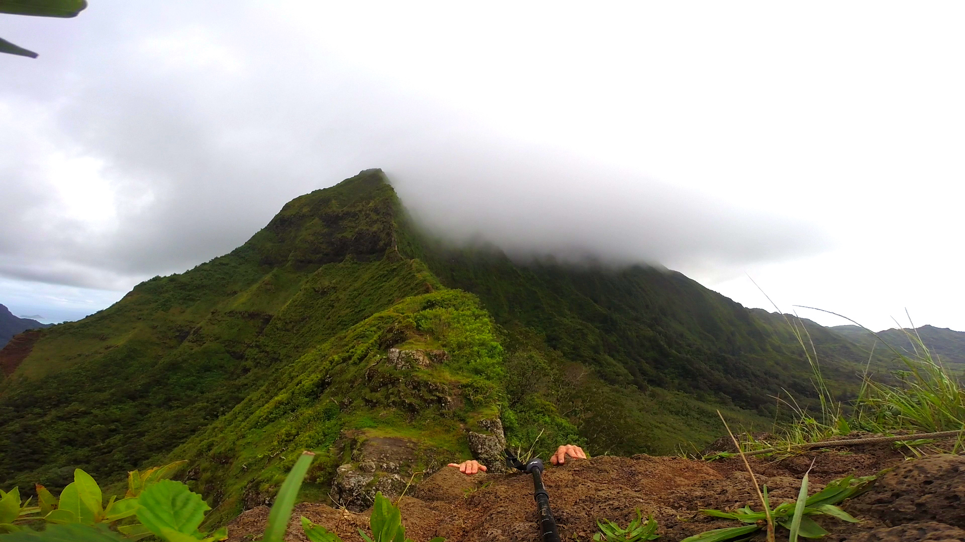
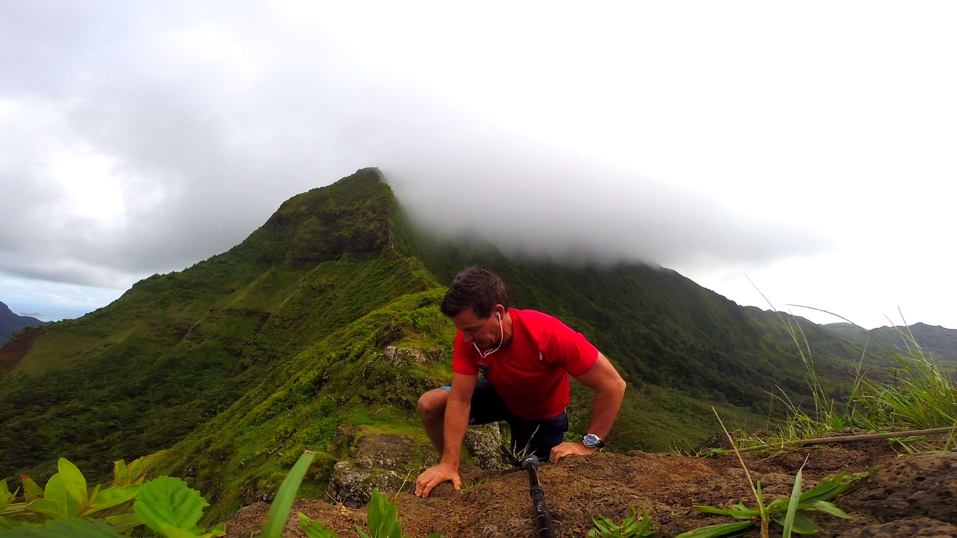
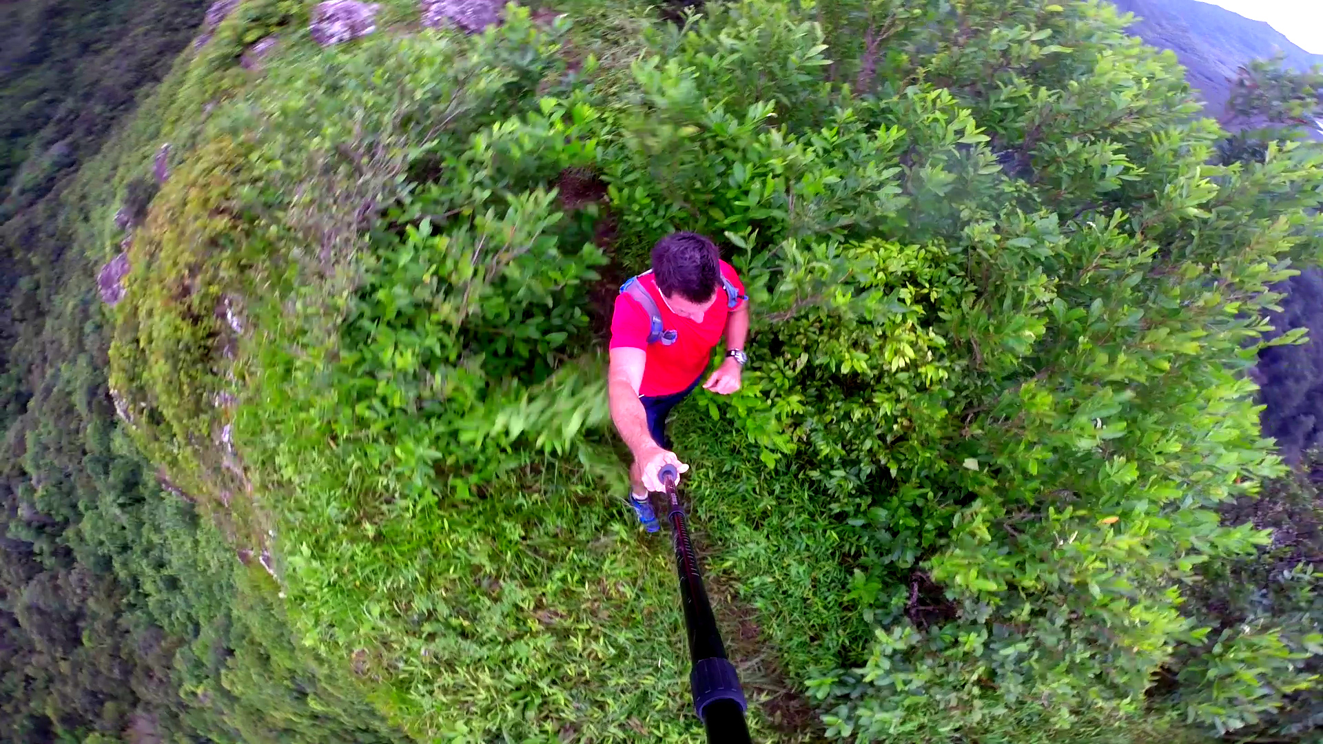
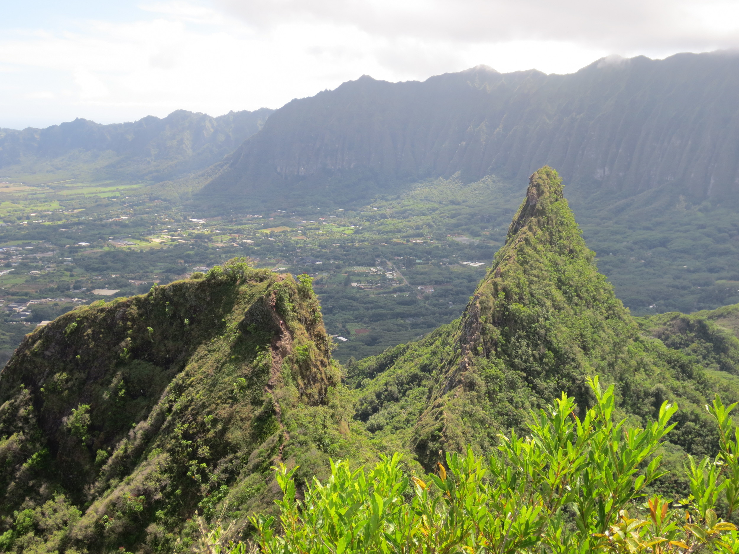
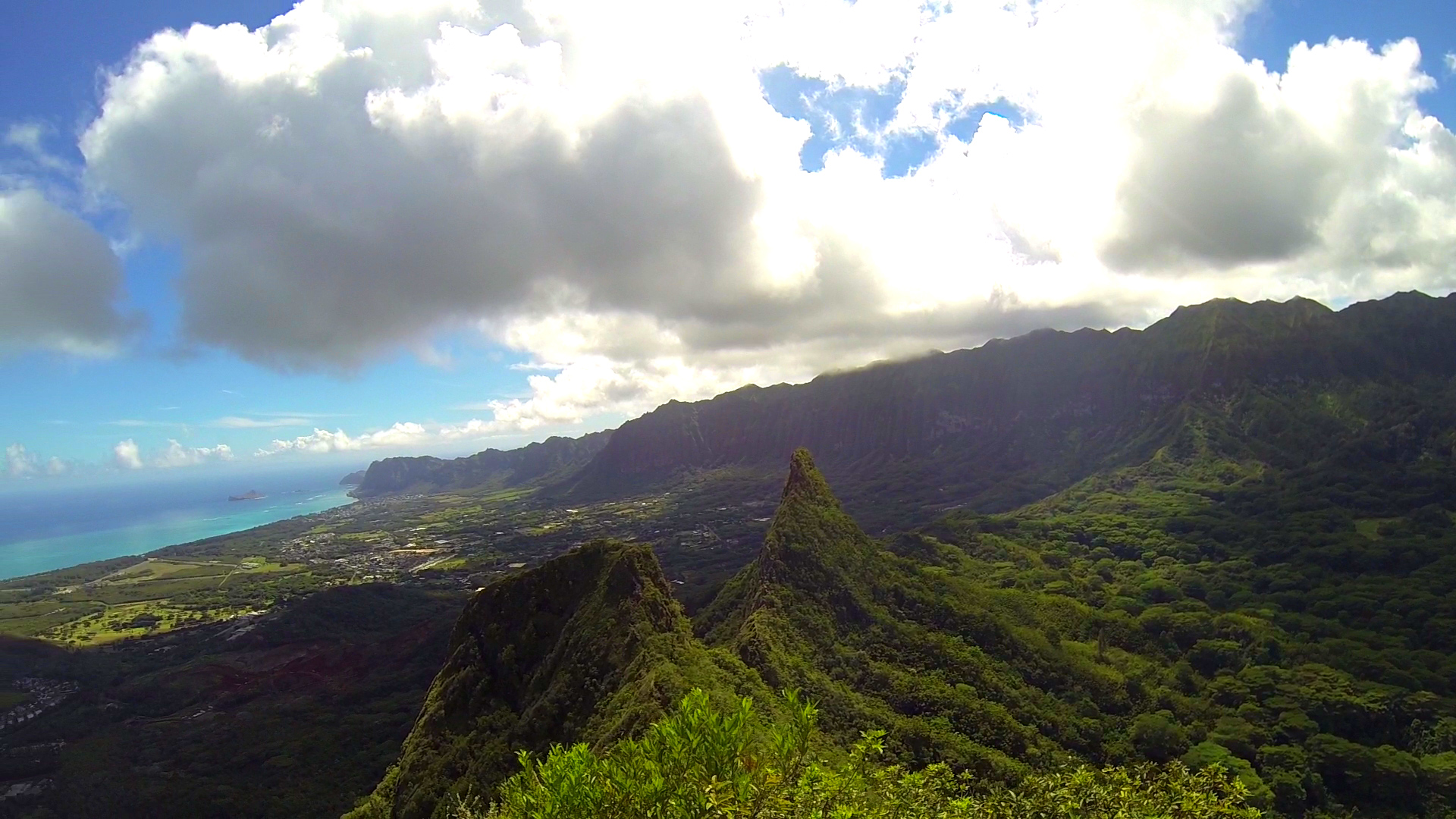
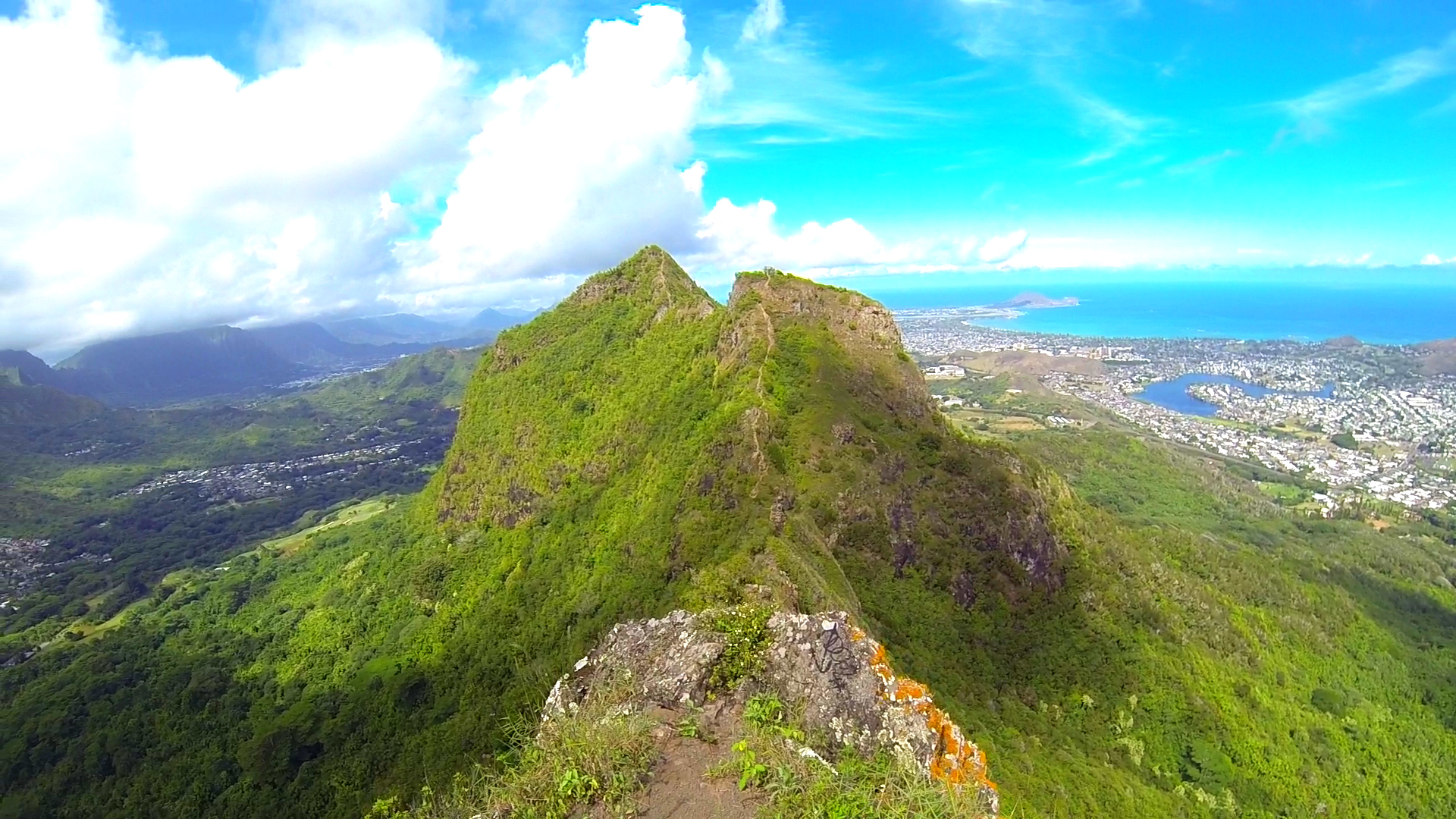
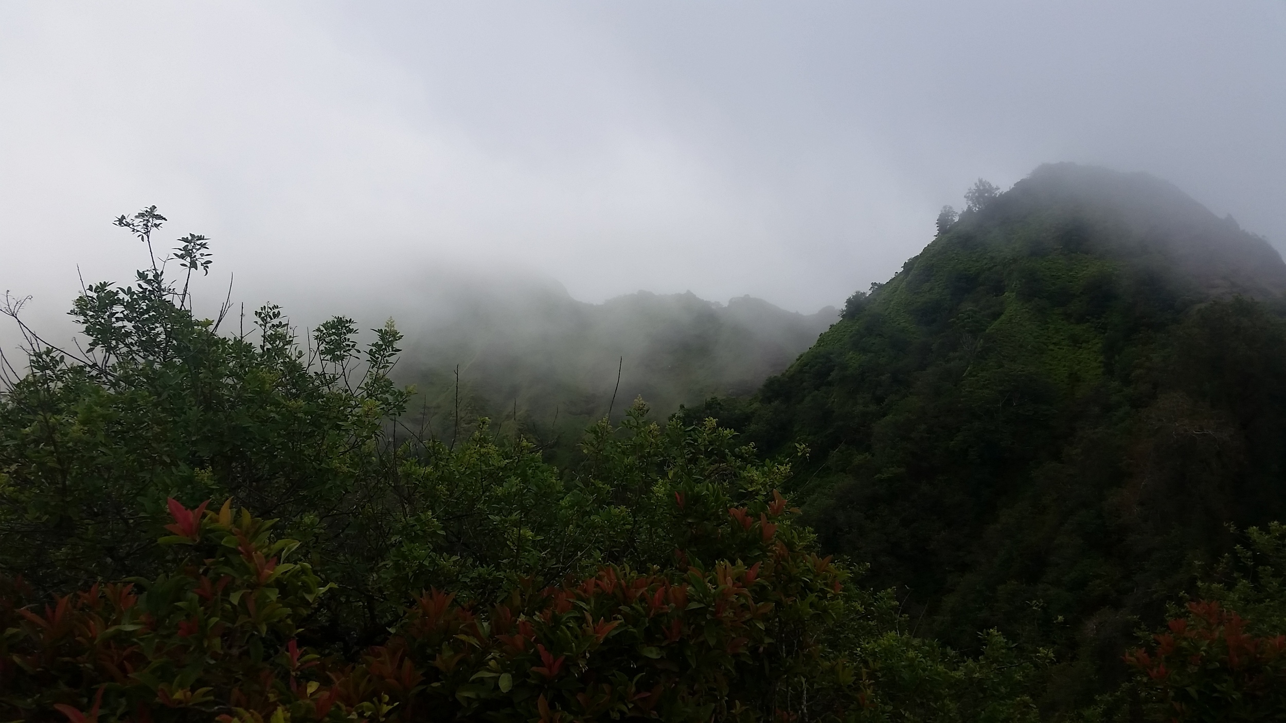
Olomana Hike
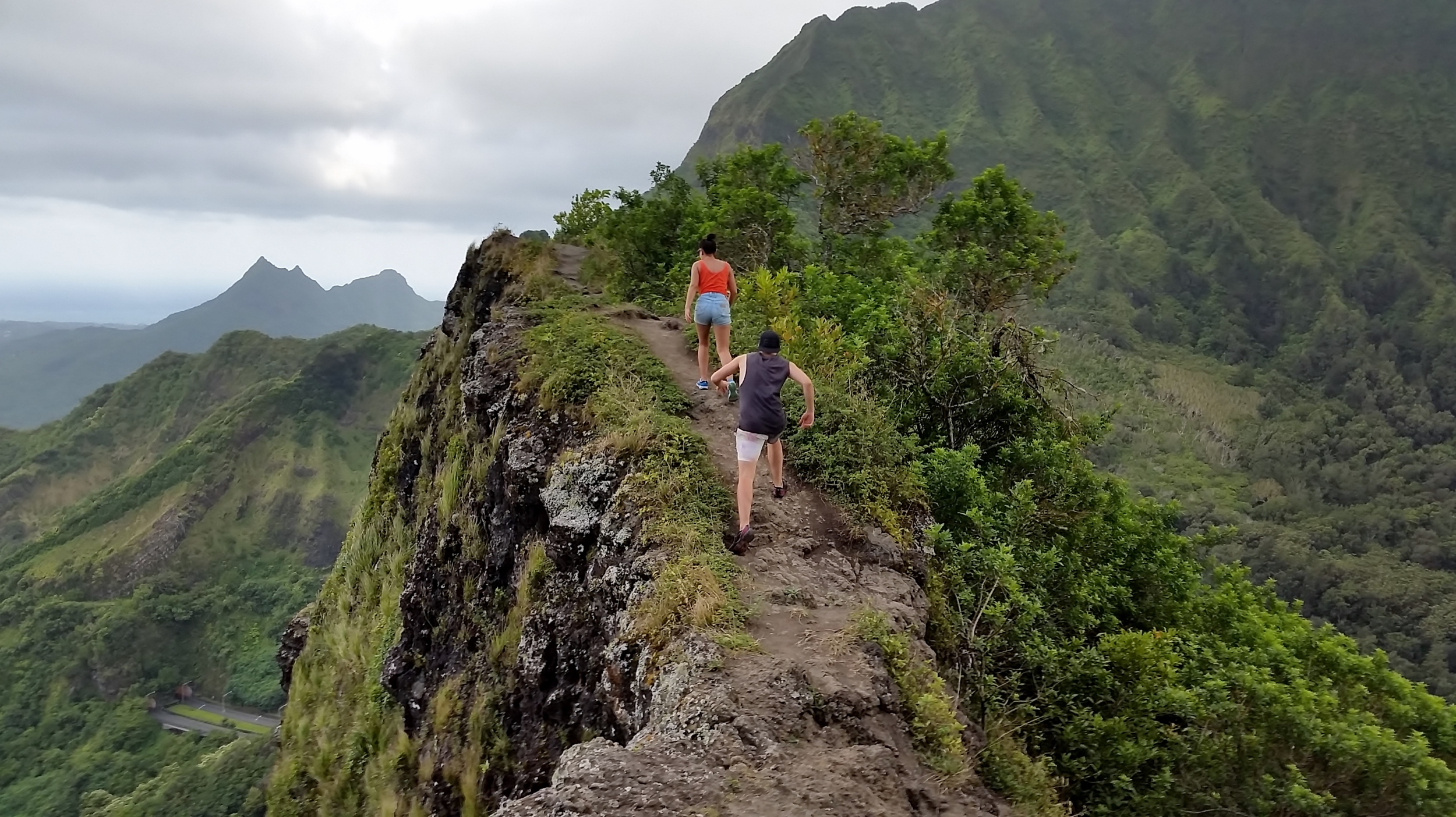
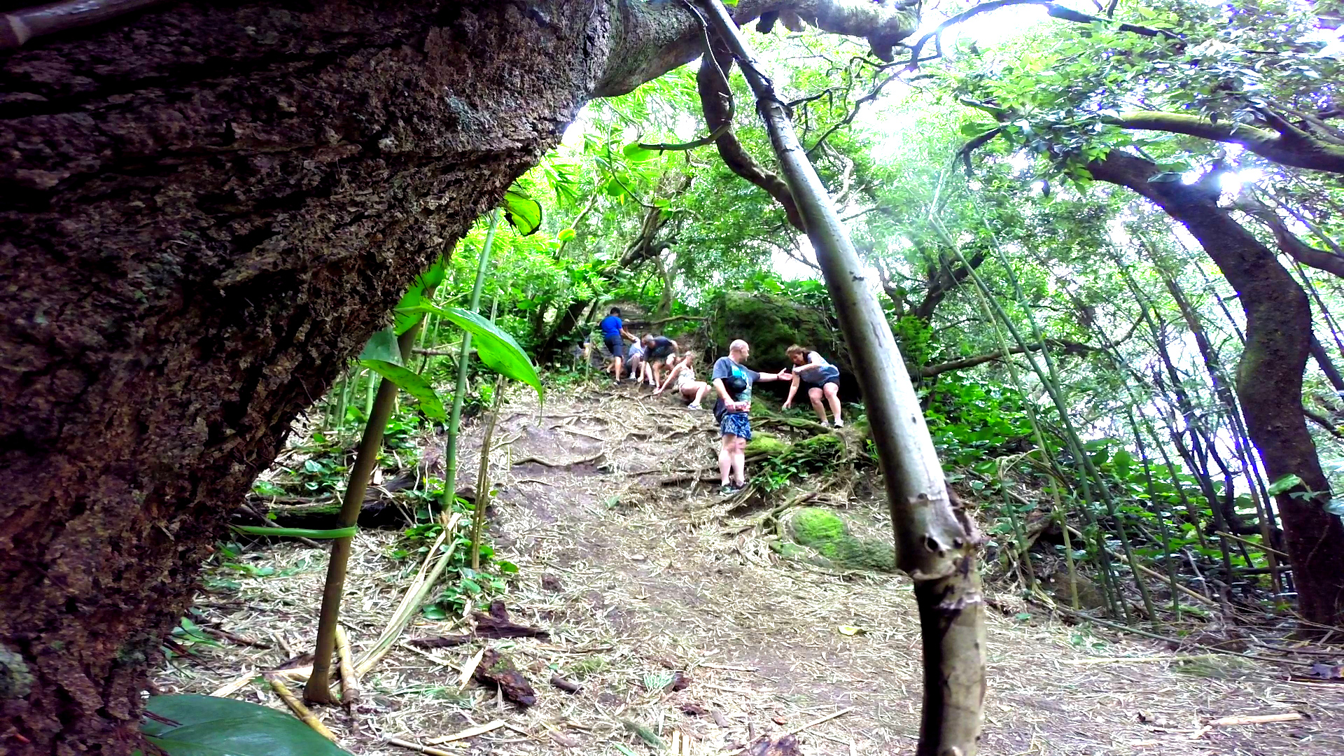
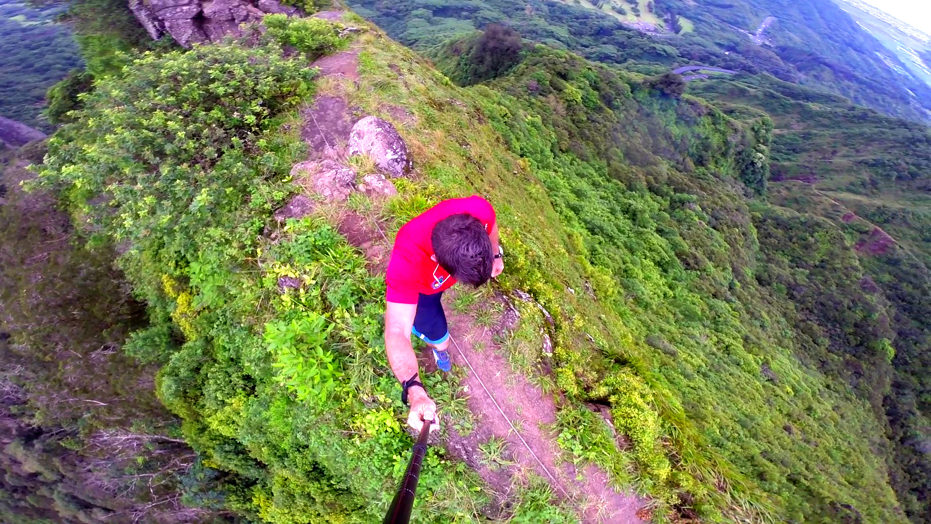
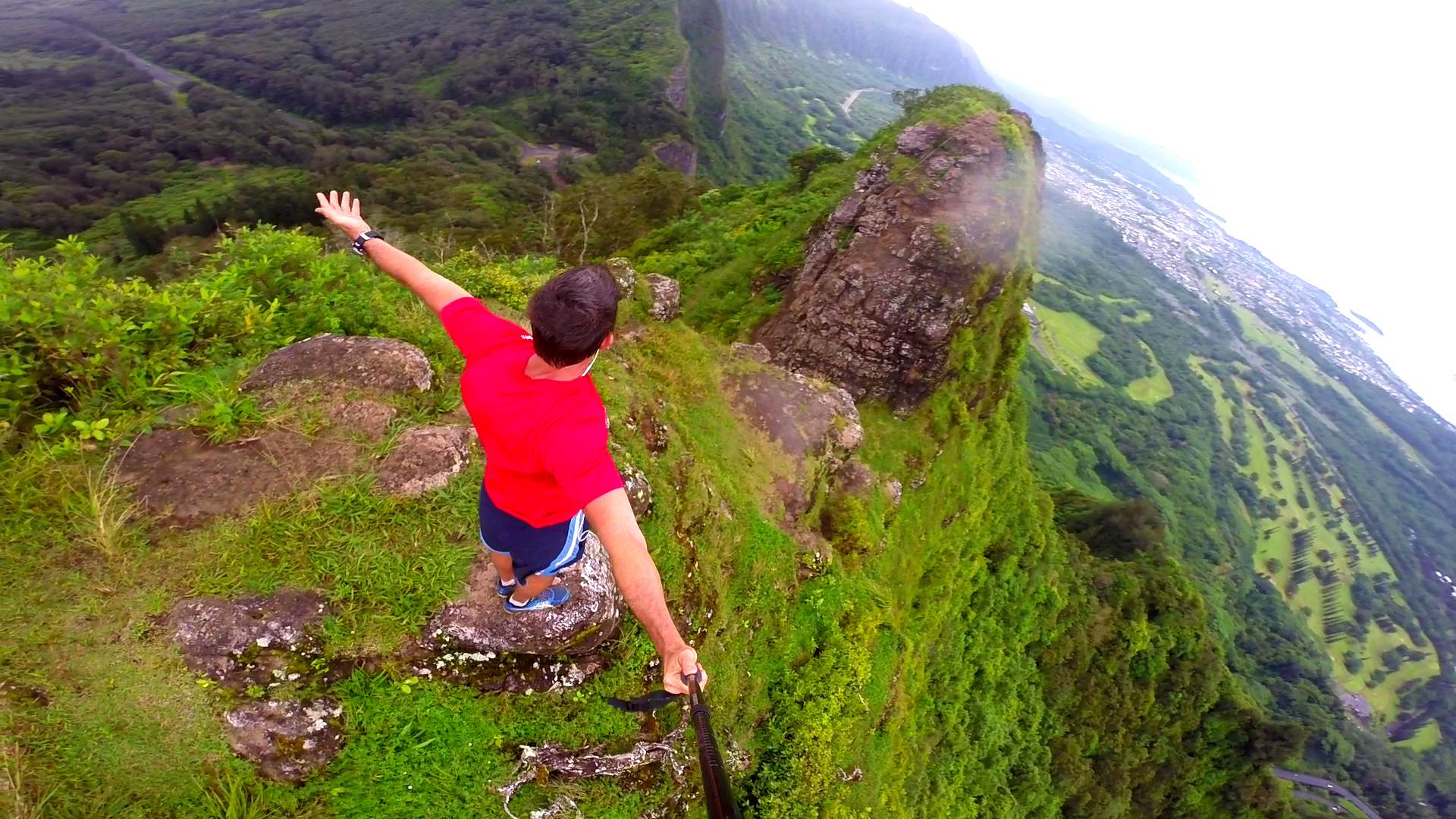
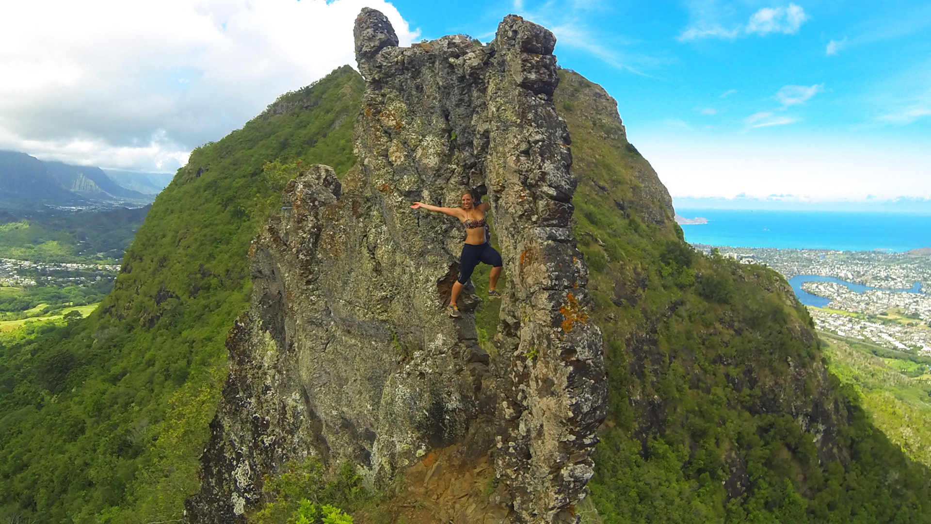
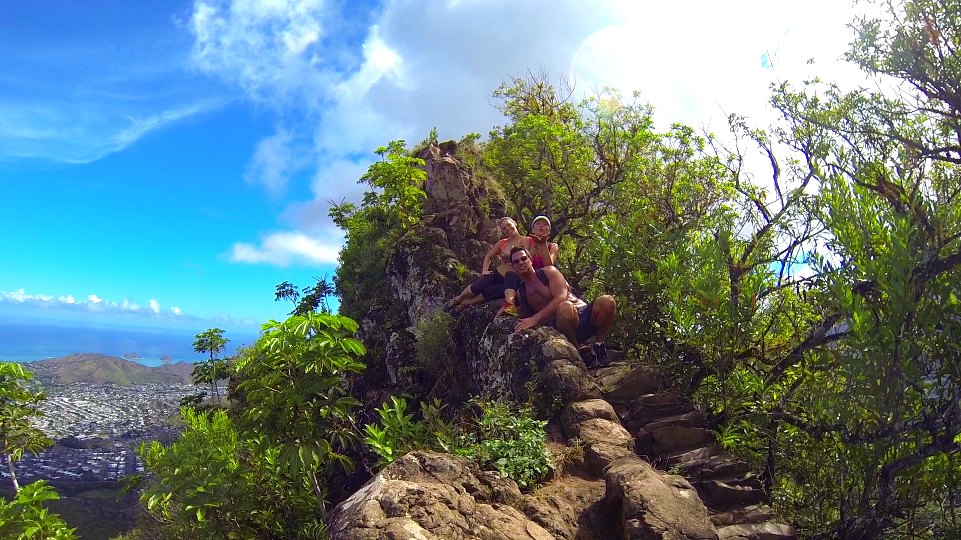
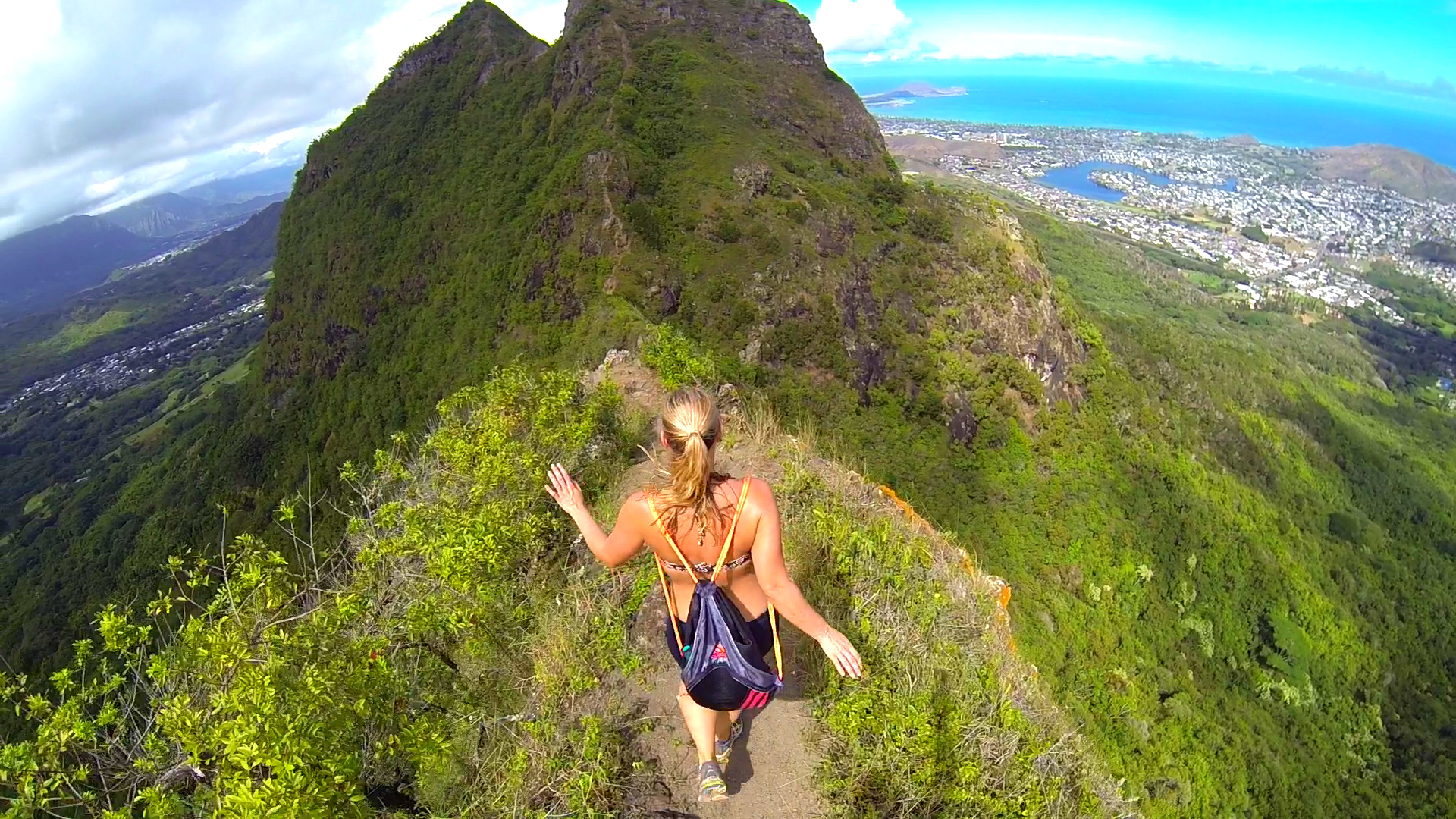
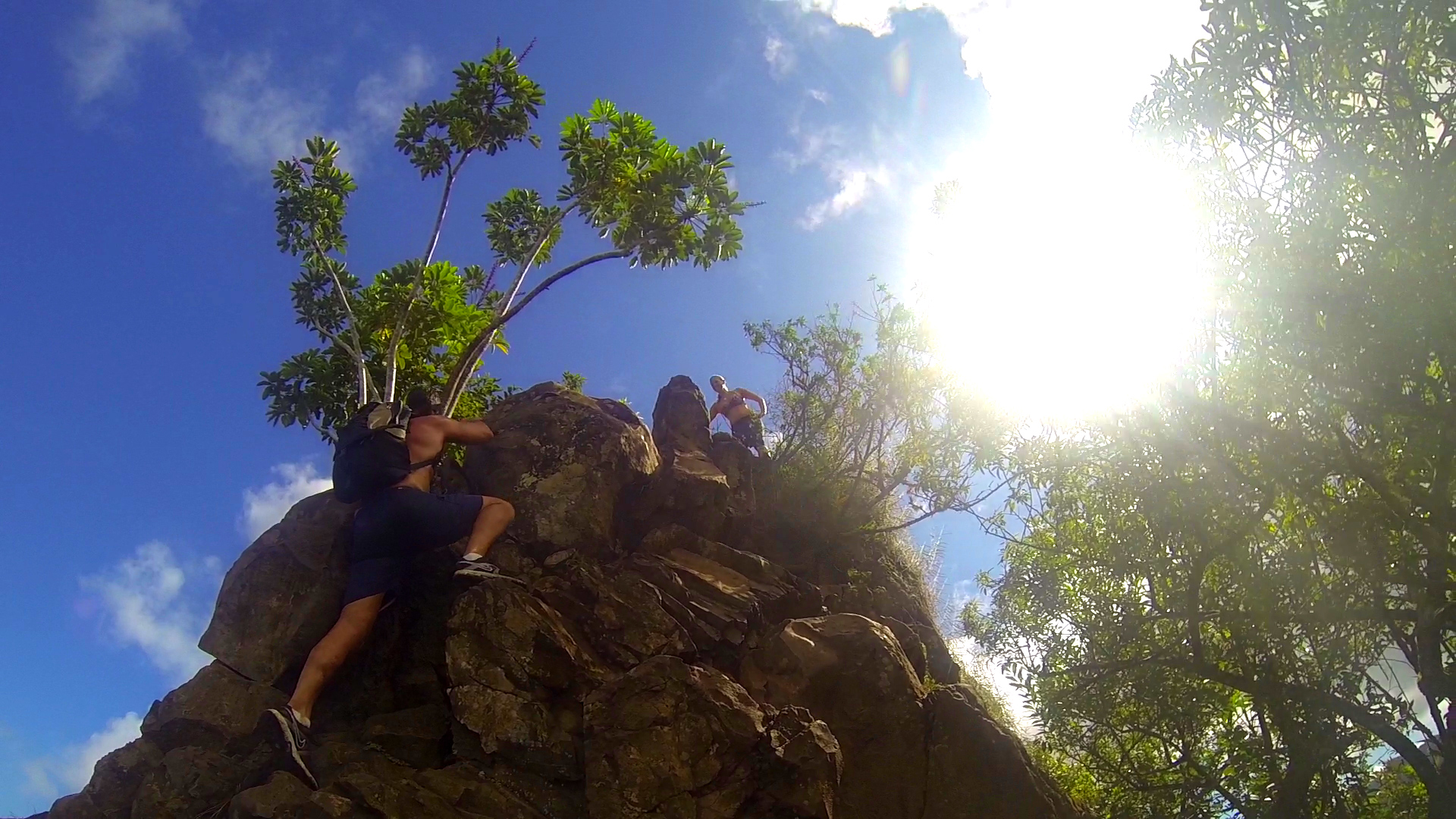
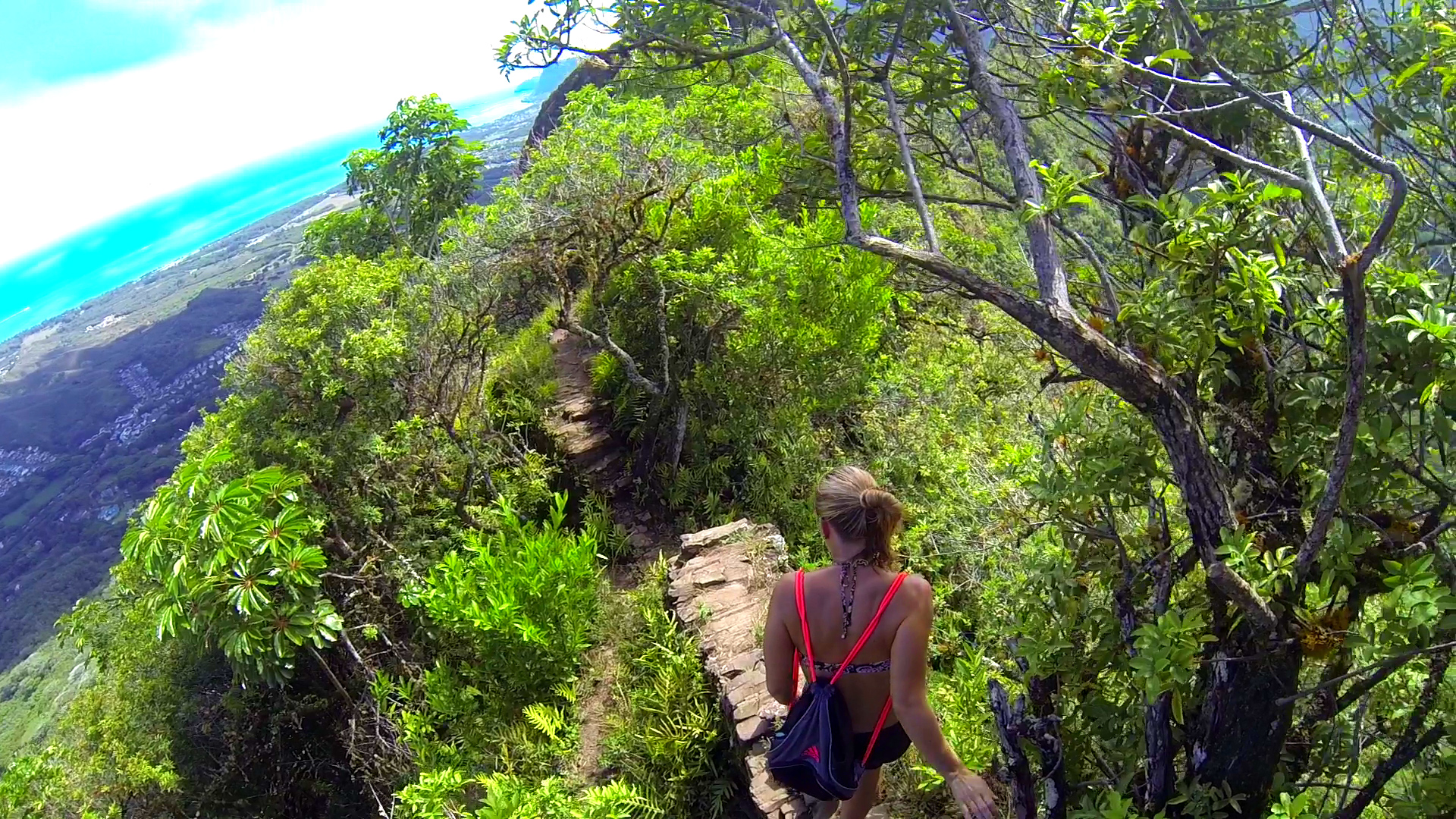
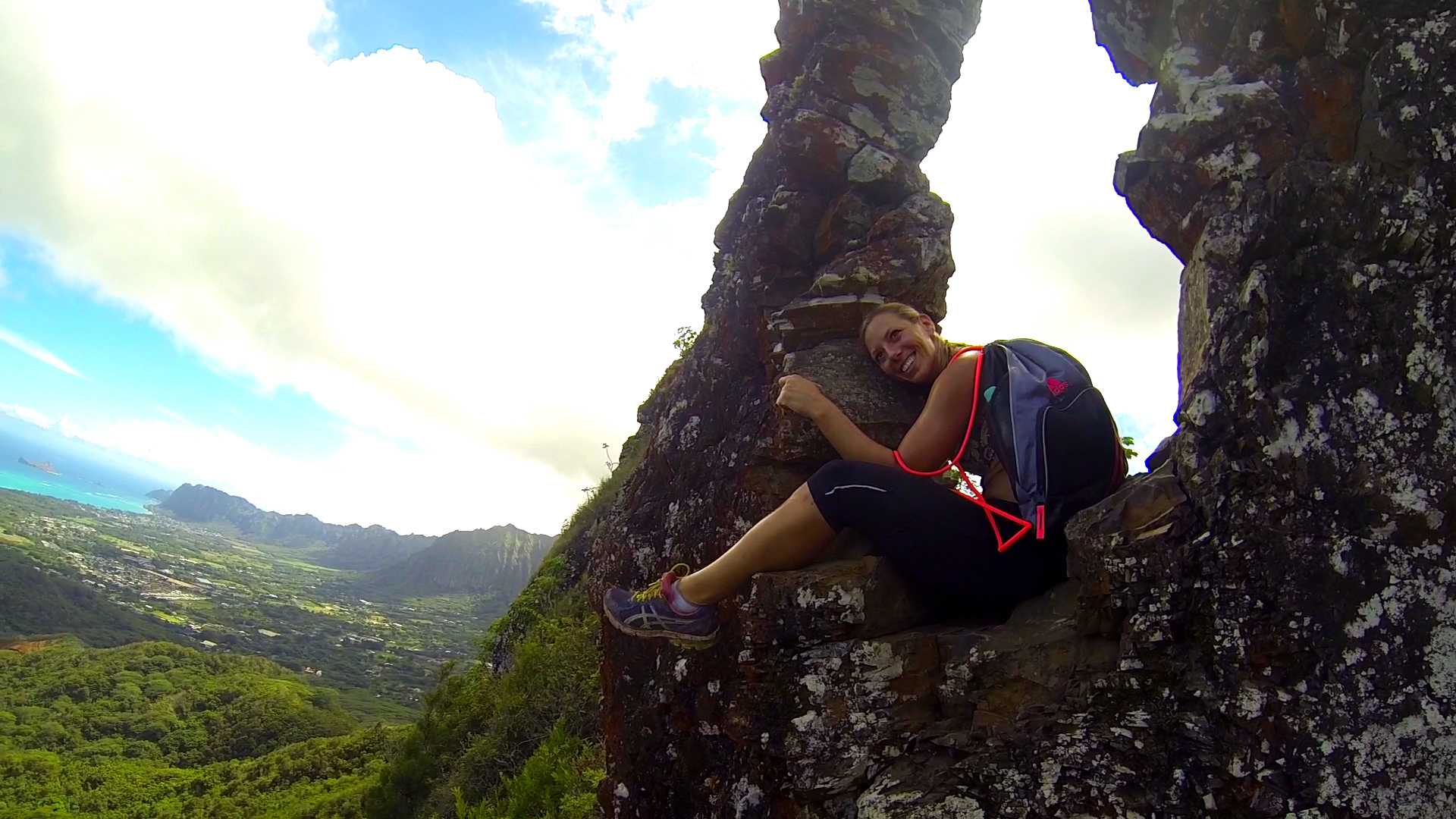
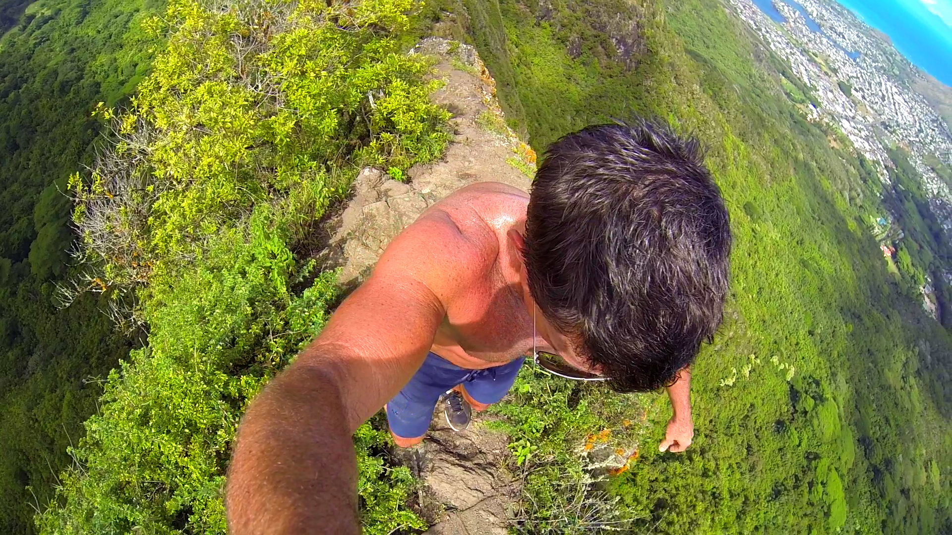
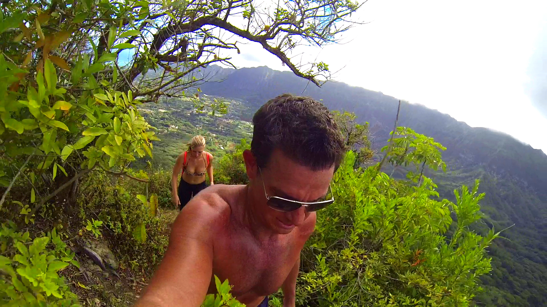
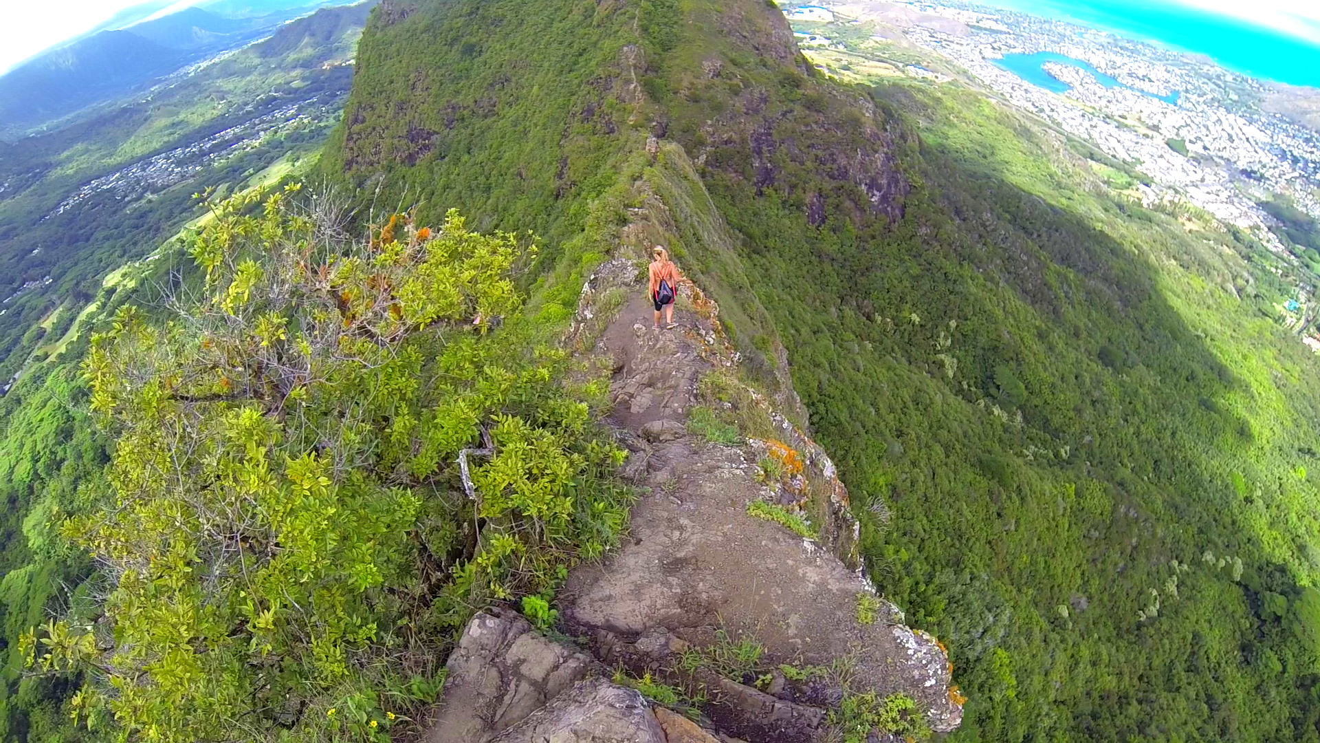
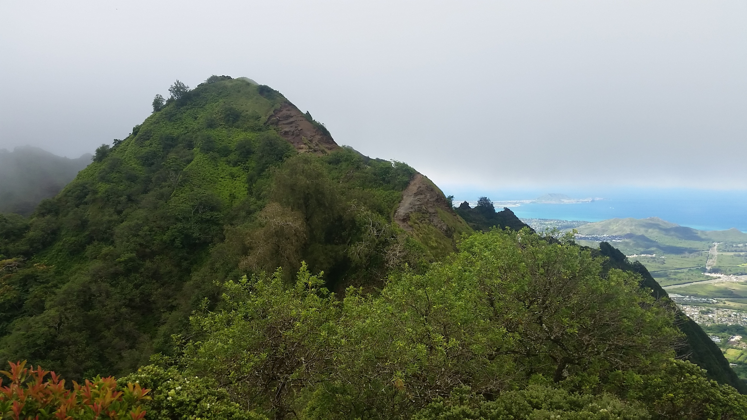
Mount Olomana or simply “Olomana” is a set of three mountainous peaks on the windward side of Oahu near Kailua and Waimanalo. The Olomana Hike is one of the top hikes on Oahu if you are looking for a challenging hike with unbelievable views. The trail that spans the three peaks is approximately 2.5 miles with an elevation gain of 1,643 feet. The terrain is rugged with many areas only passable with the aid of ropes. This is considered an advanced hike and can be very dangerous. There are points along the hiking trail that are only 3-4 feet wide and drop off approximately 1,000 feet on both sides.
If you aren't afraid of heights and are comfortable with some moderate rock climbing, then the Olomana hike should be at the top of your bucket-list. The first peak is amazing enough and where most people stop… However, if you want to continue farther, the trail gets even more intense and advanced as you move to concur the other two peaks. Please allow 3-4 hours to do round trip hike to first peak, 6-7 hours to do all three peaks.


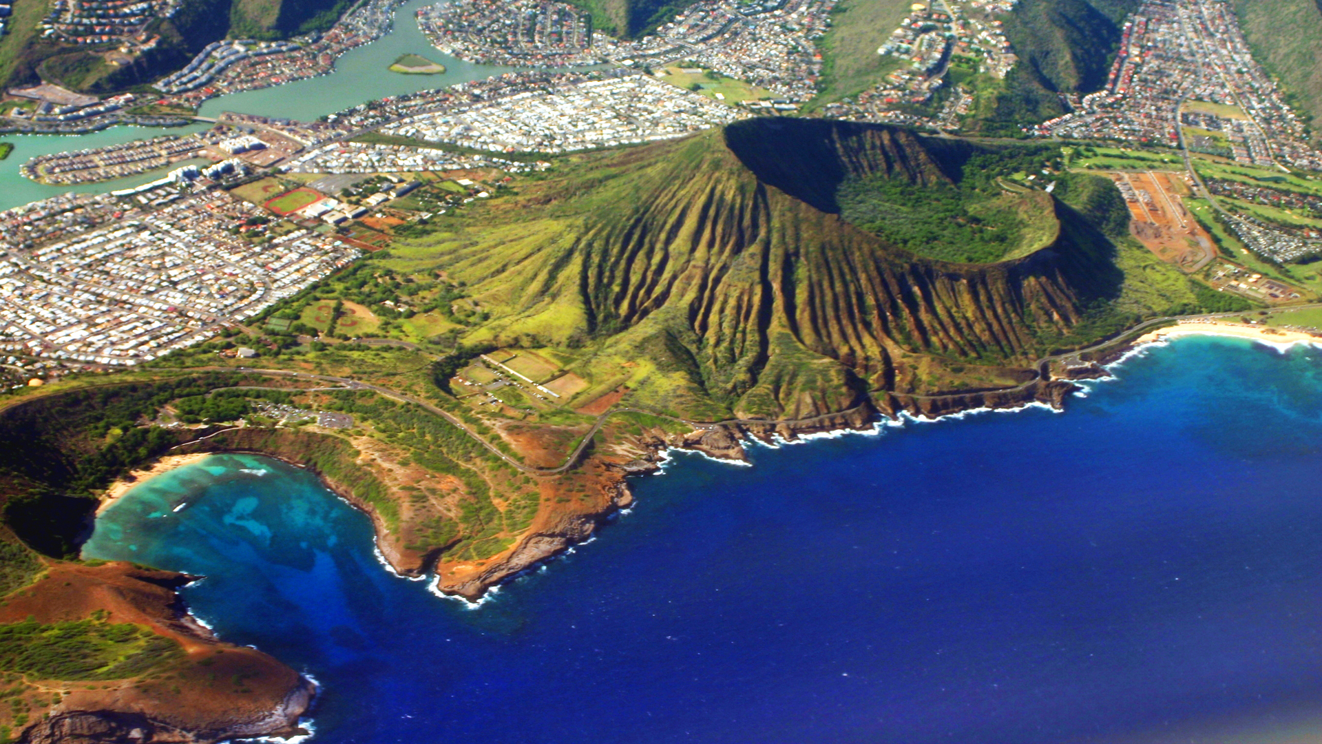
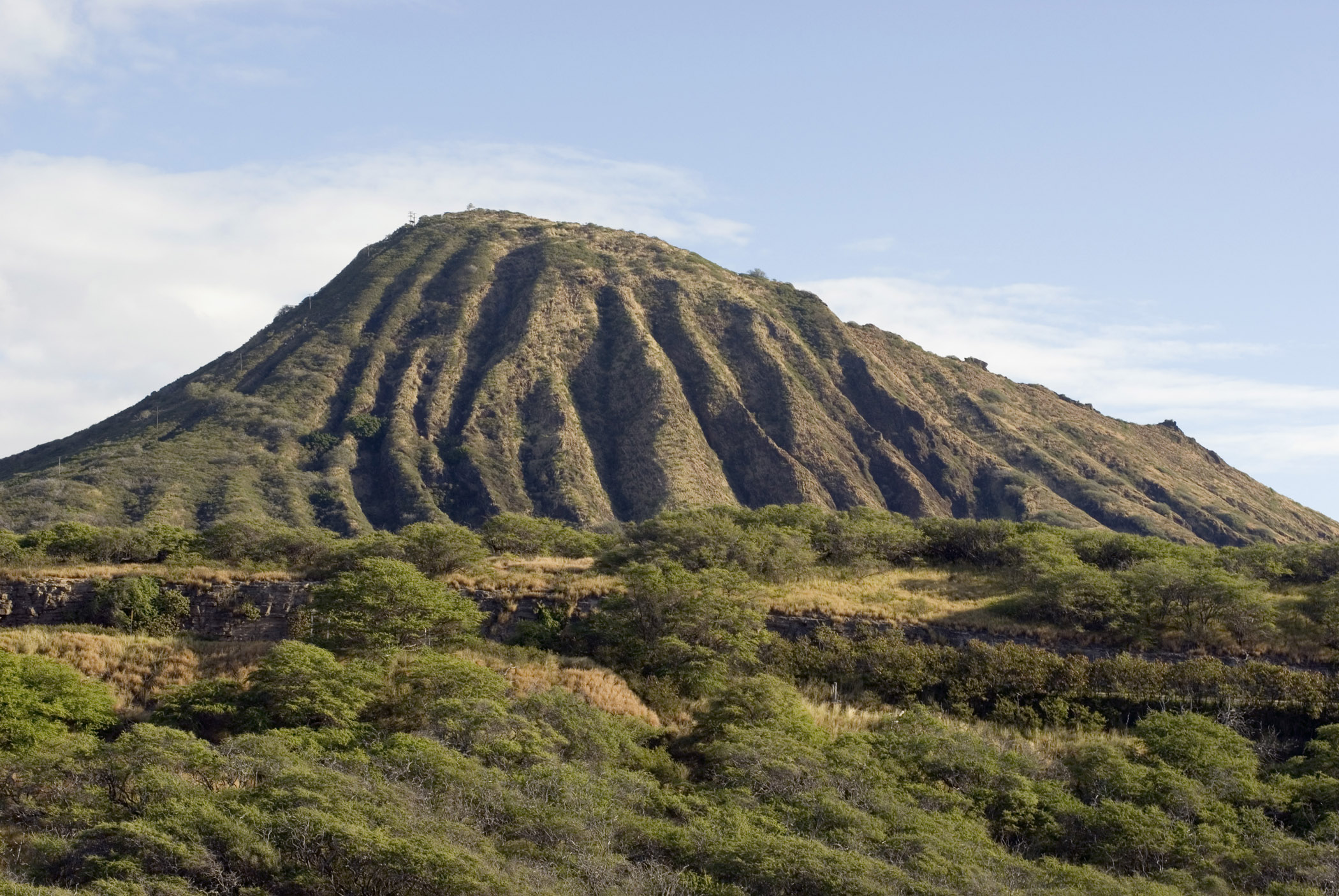
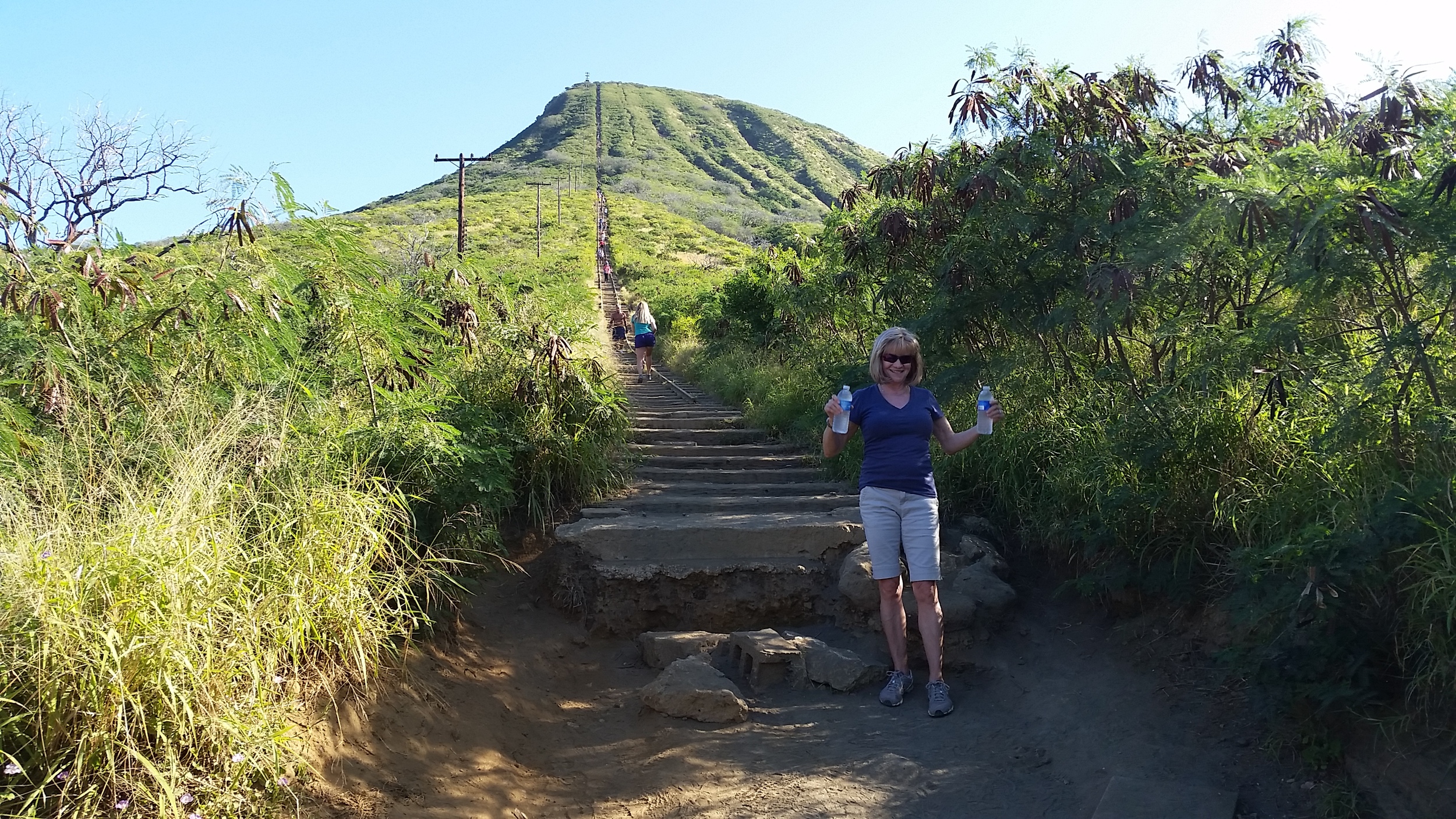
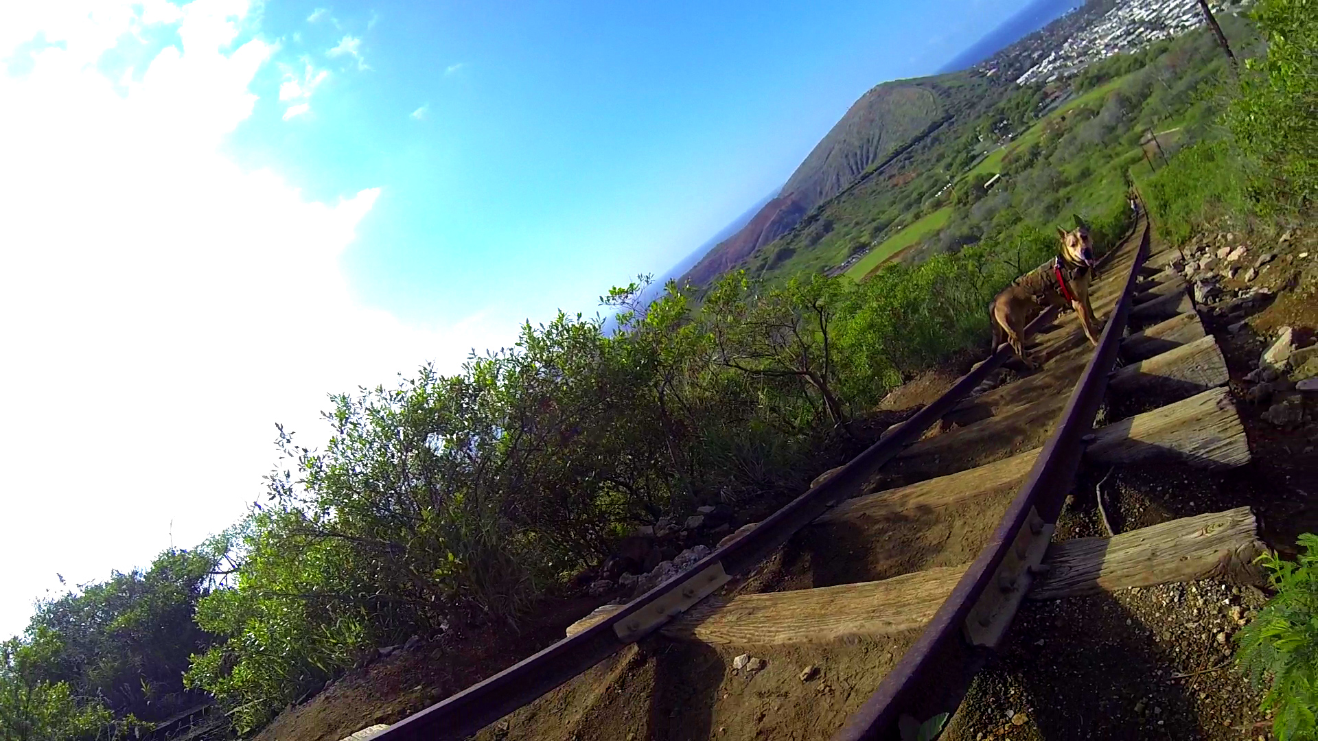
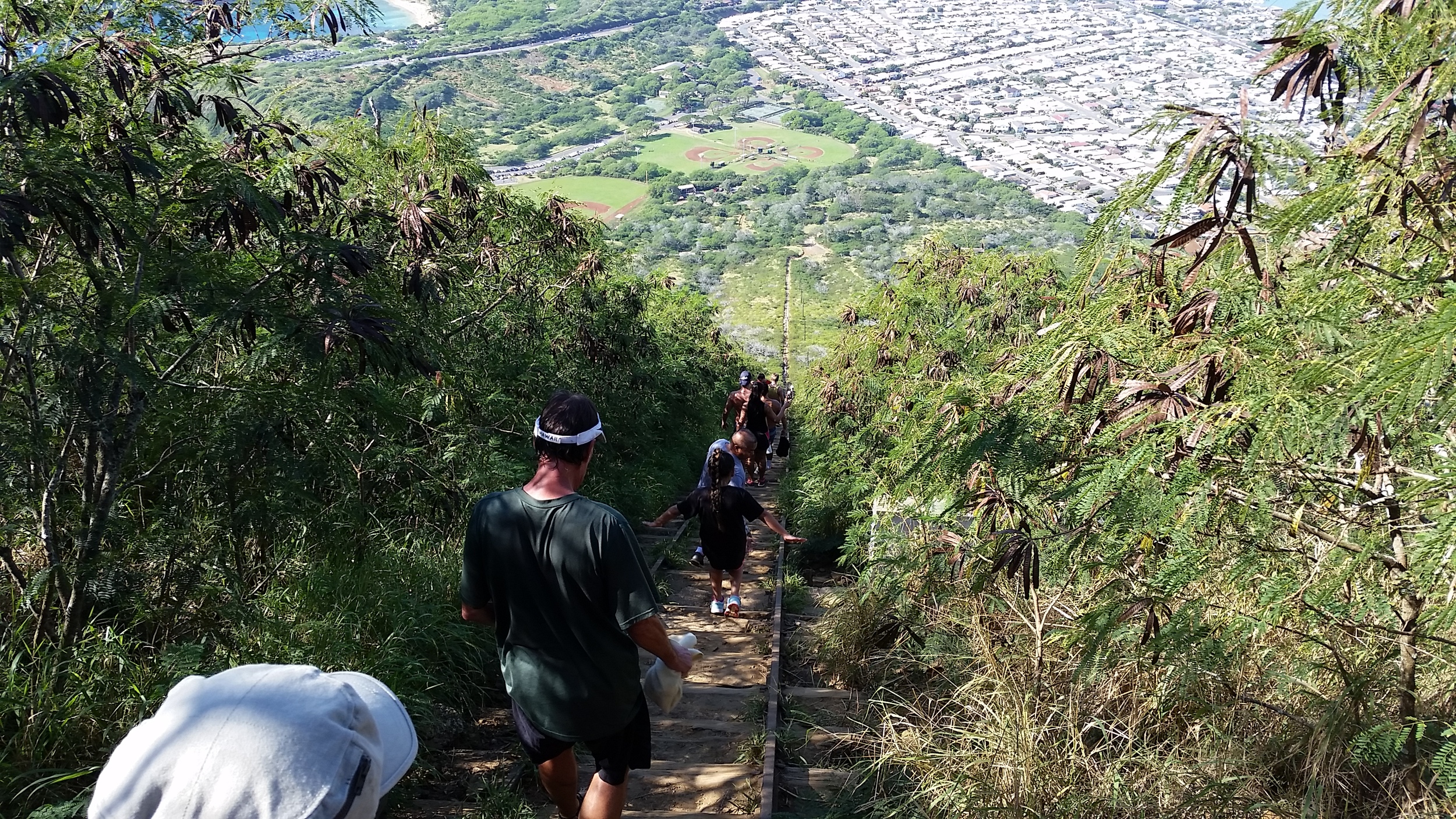
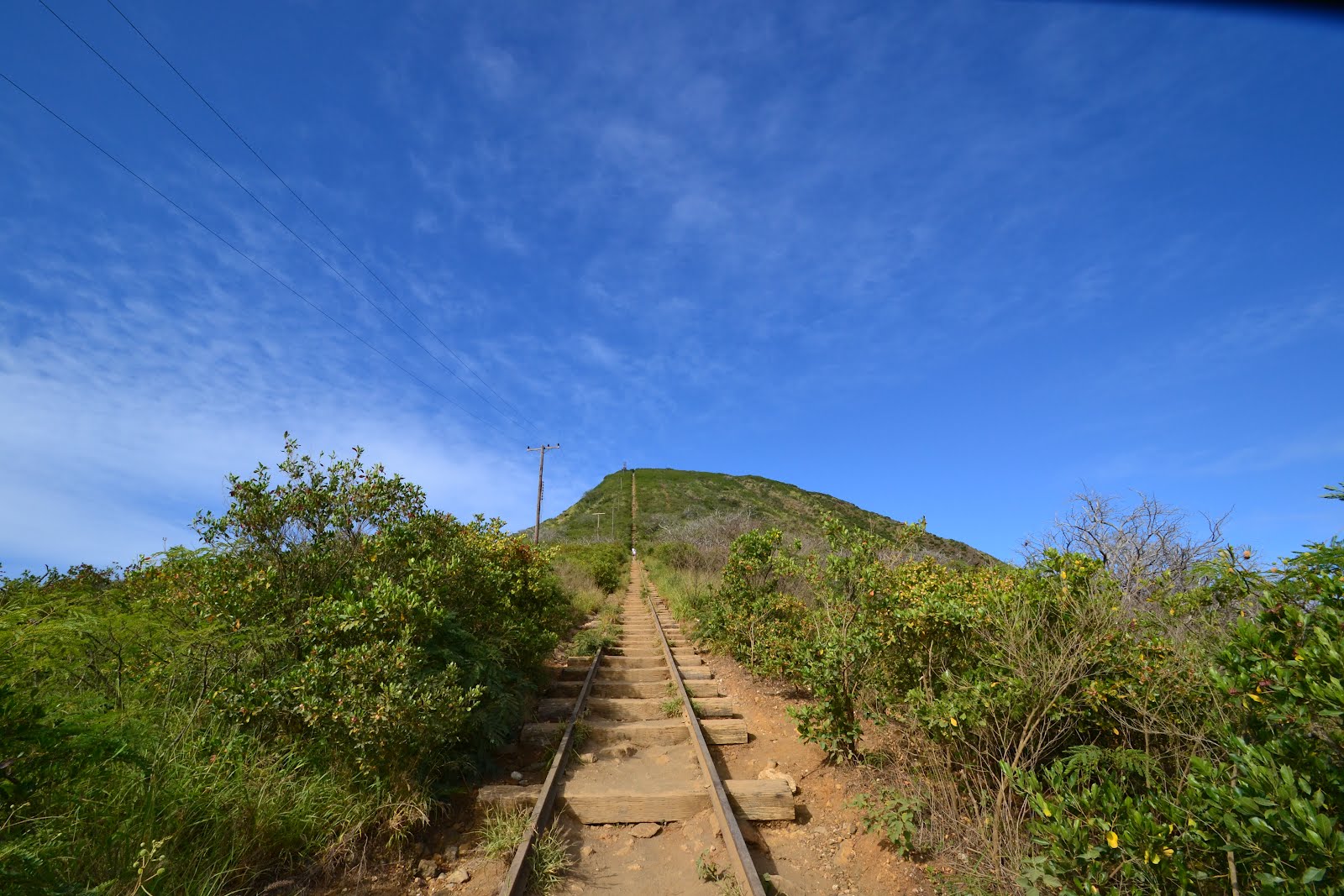
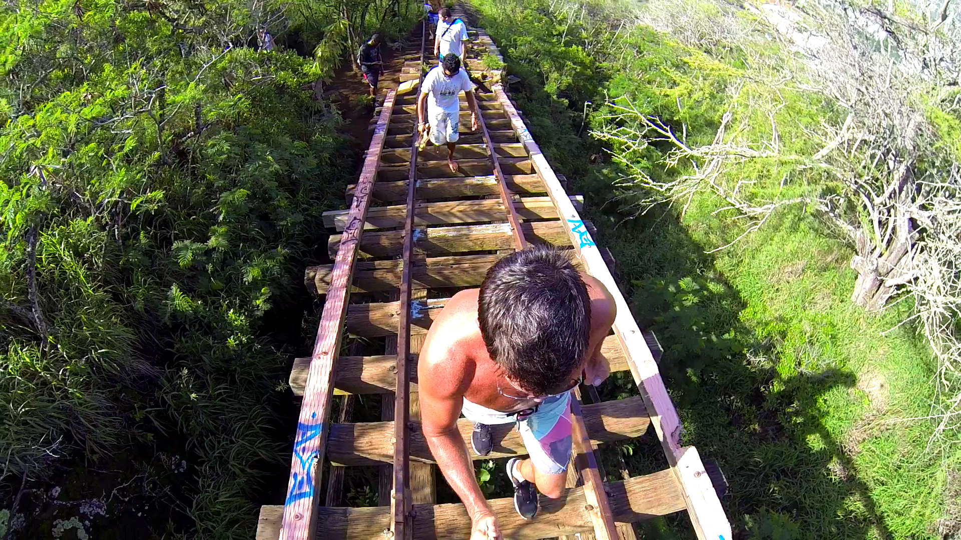
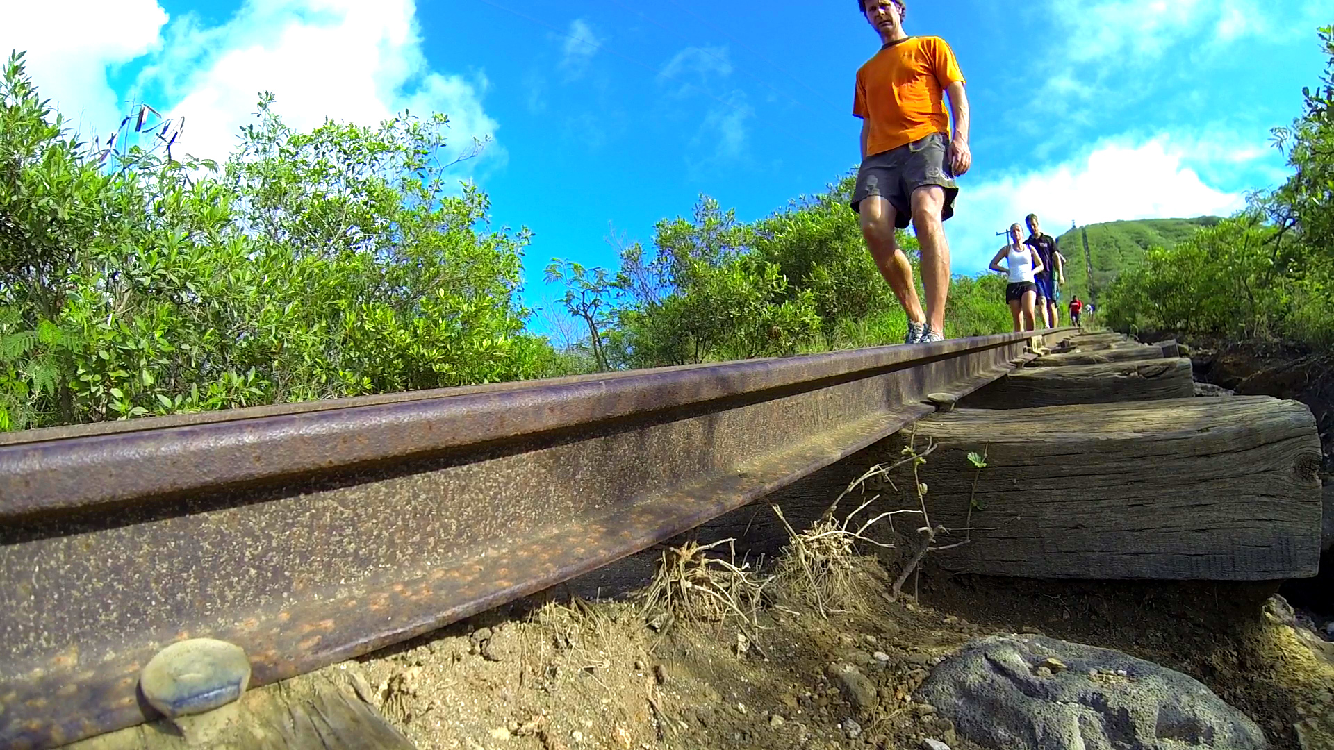
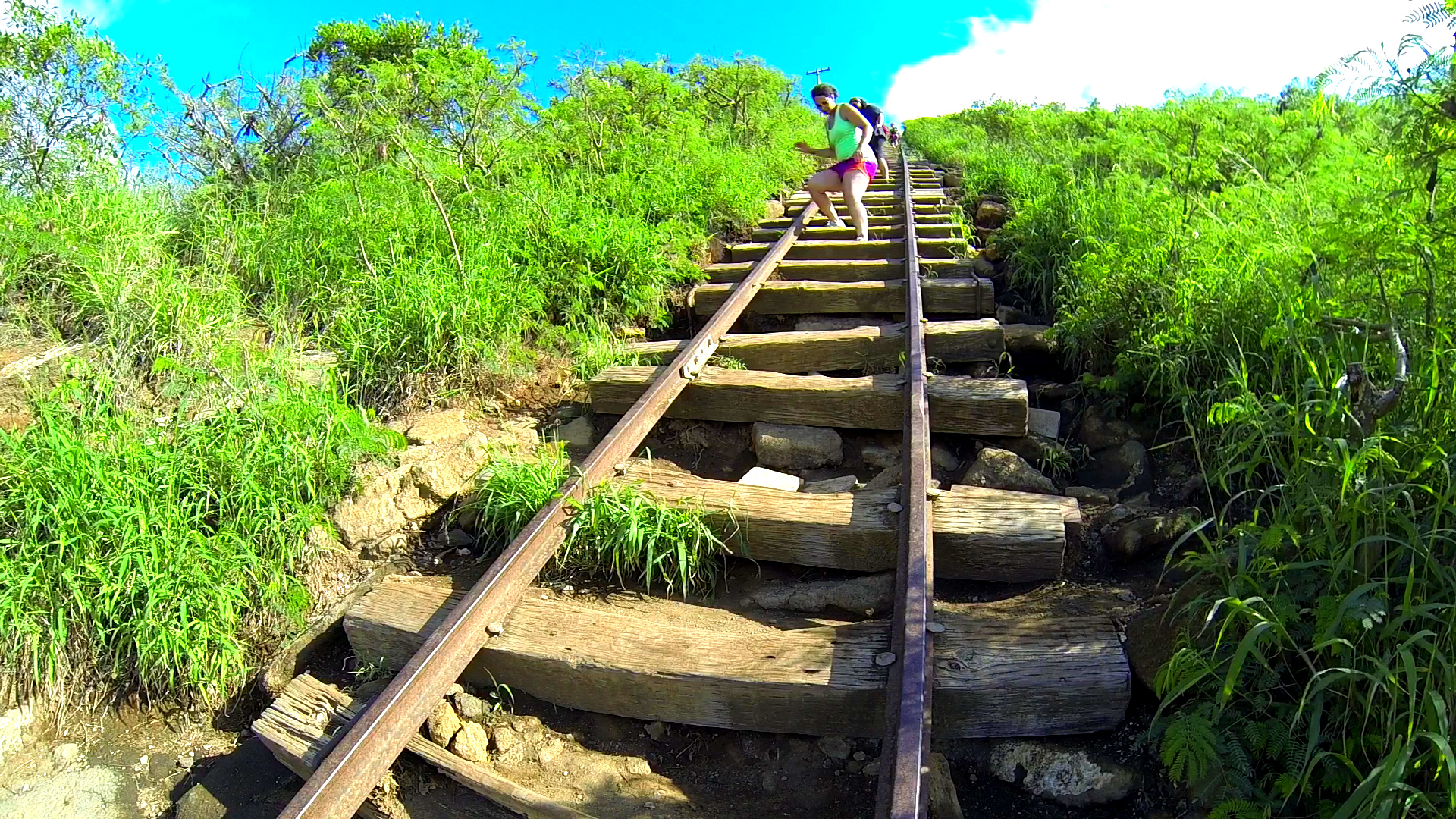
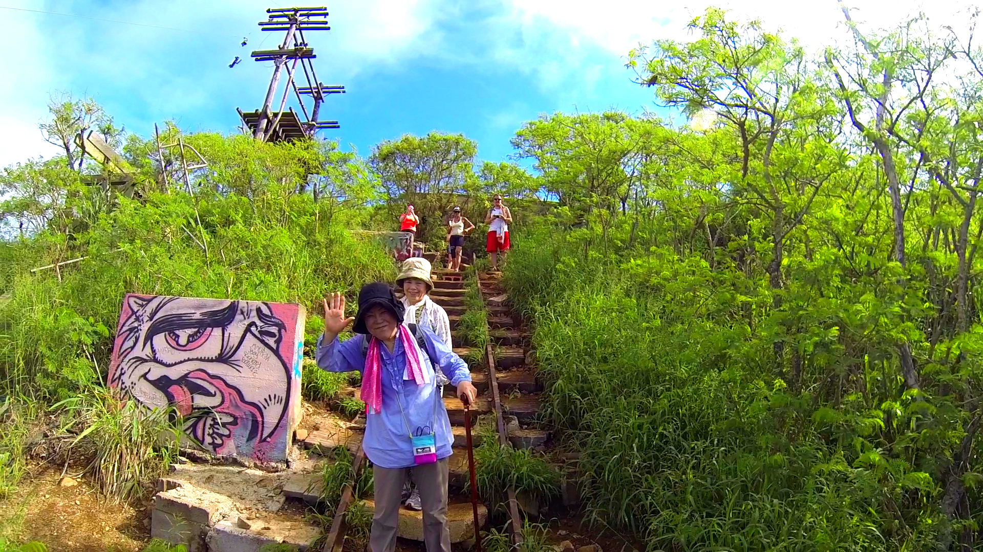
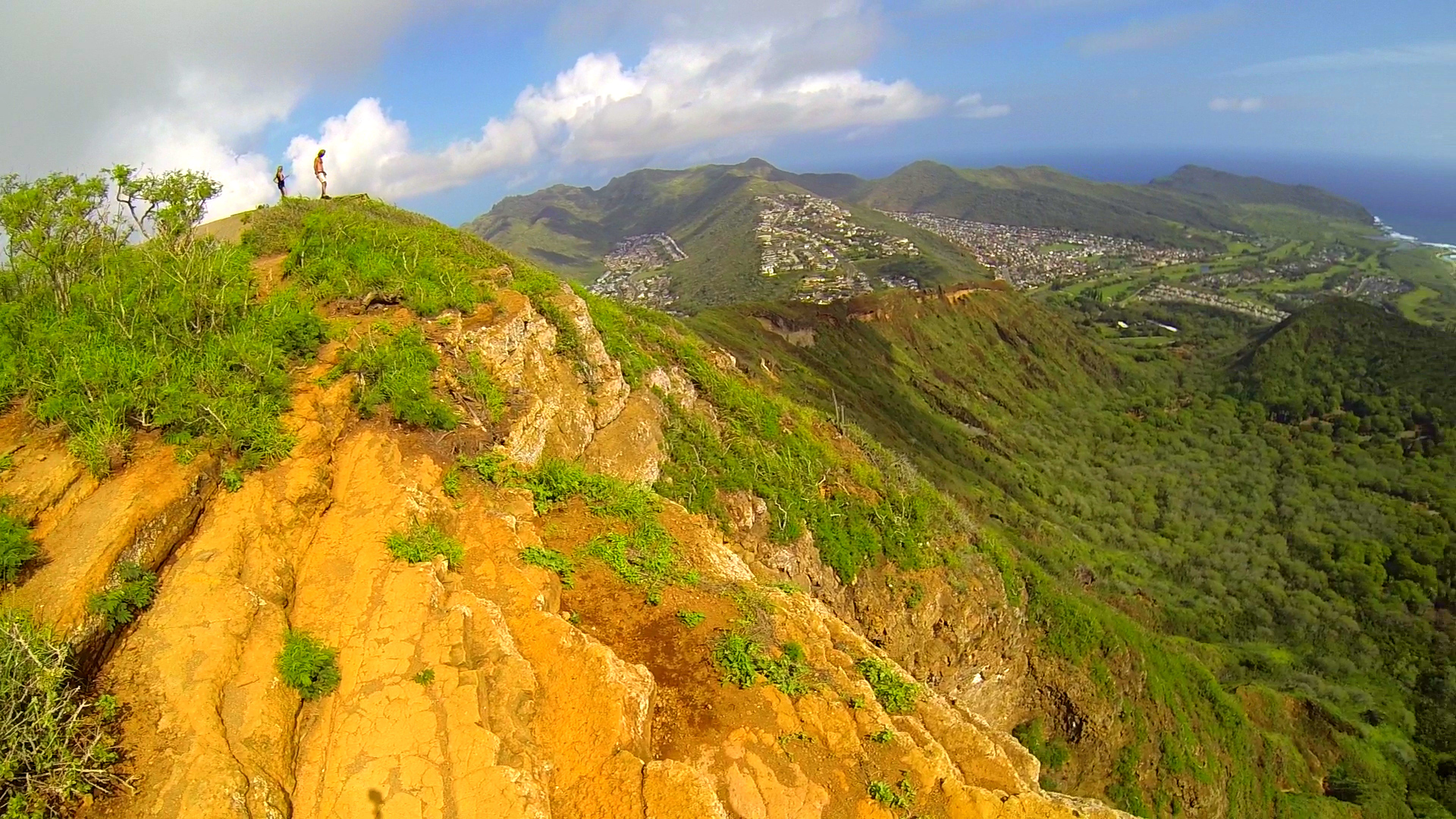
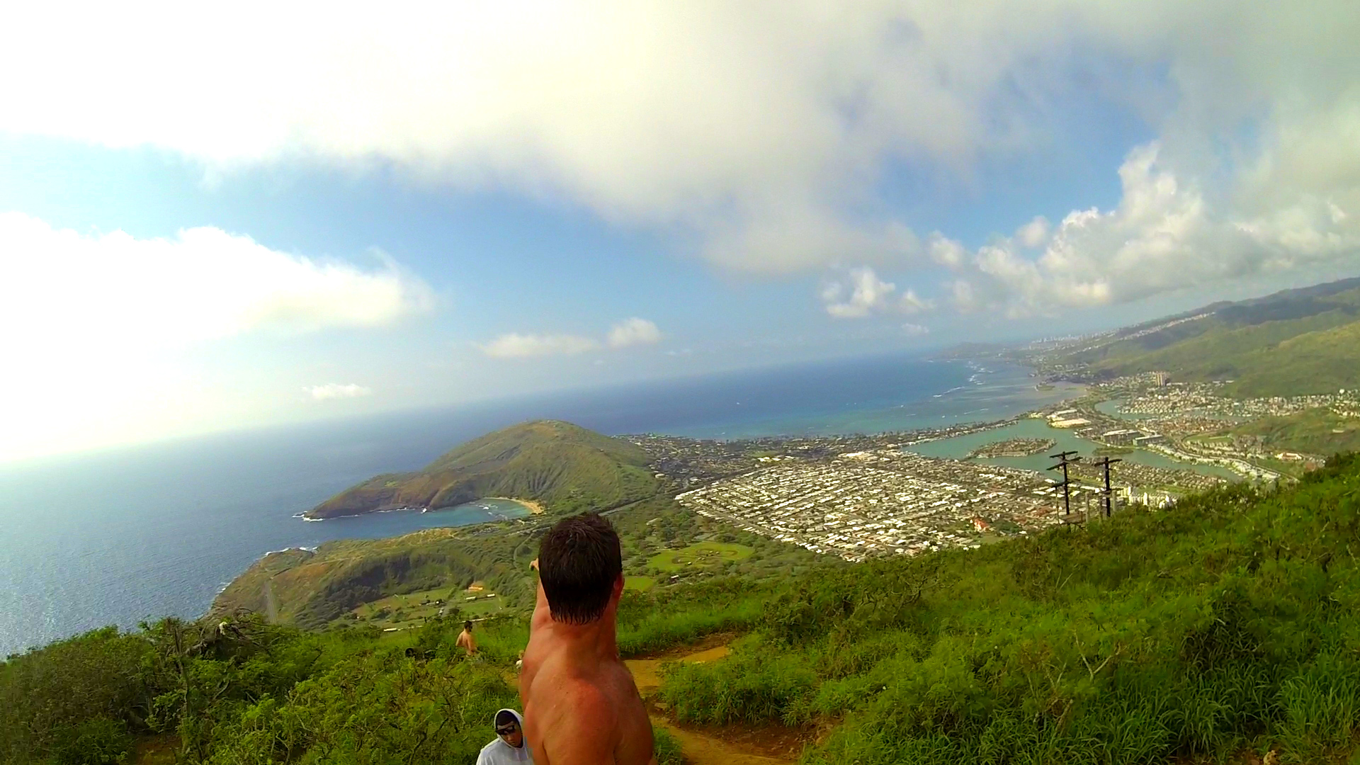
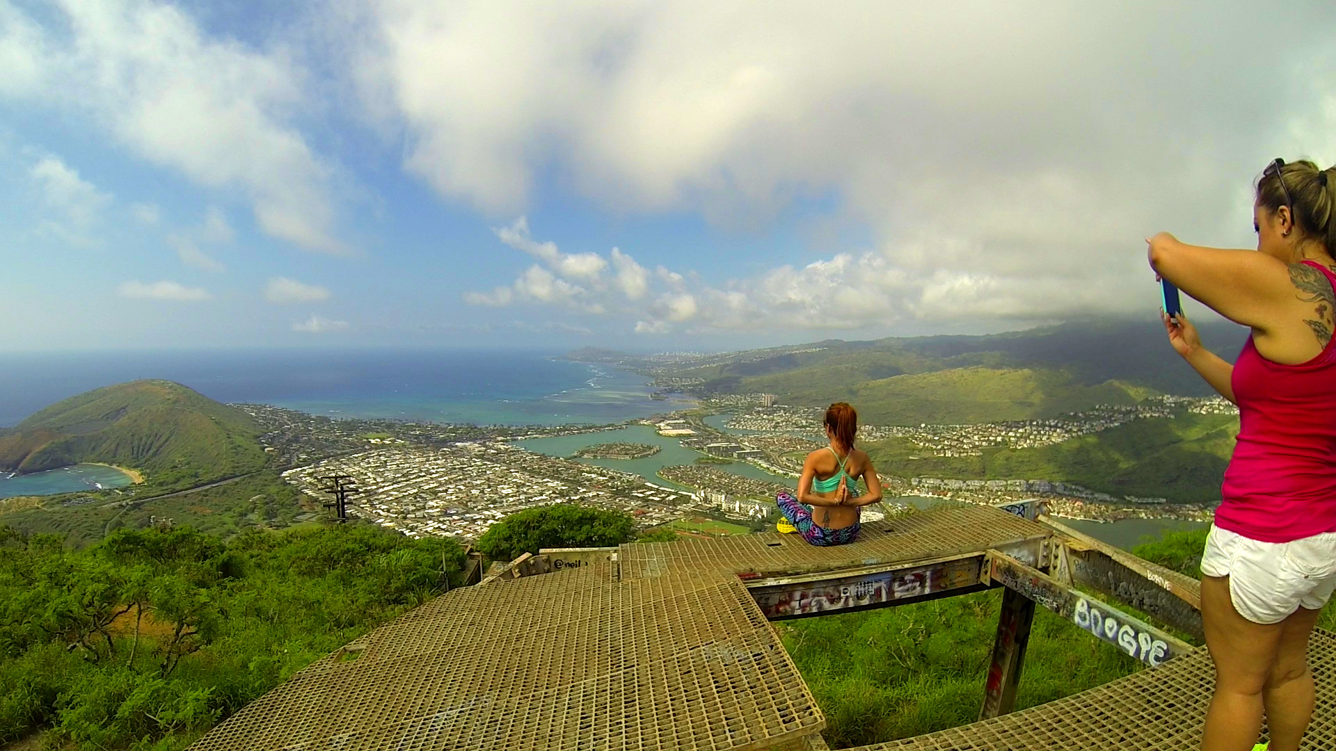
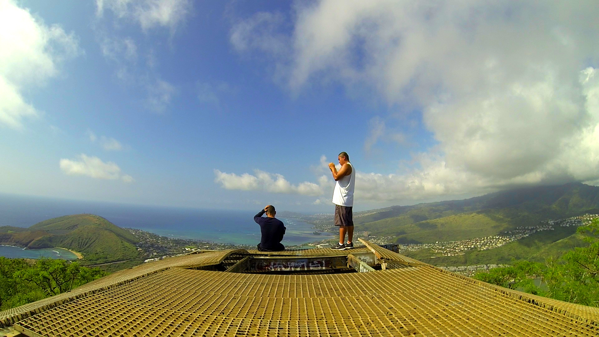
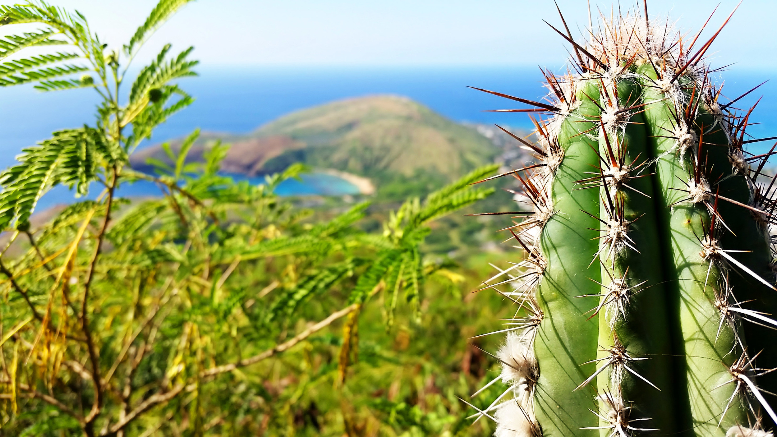
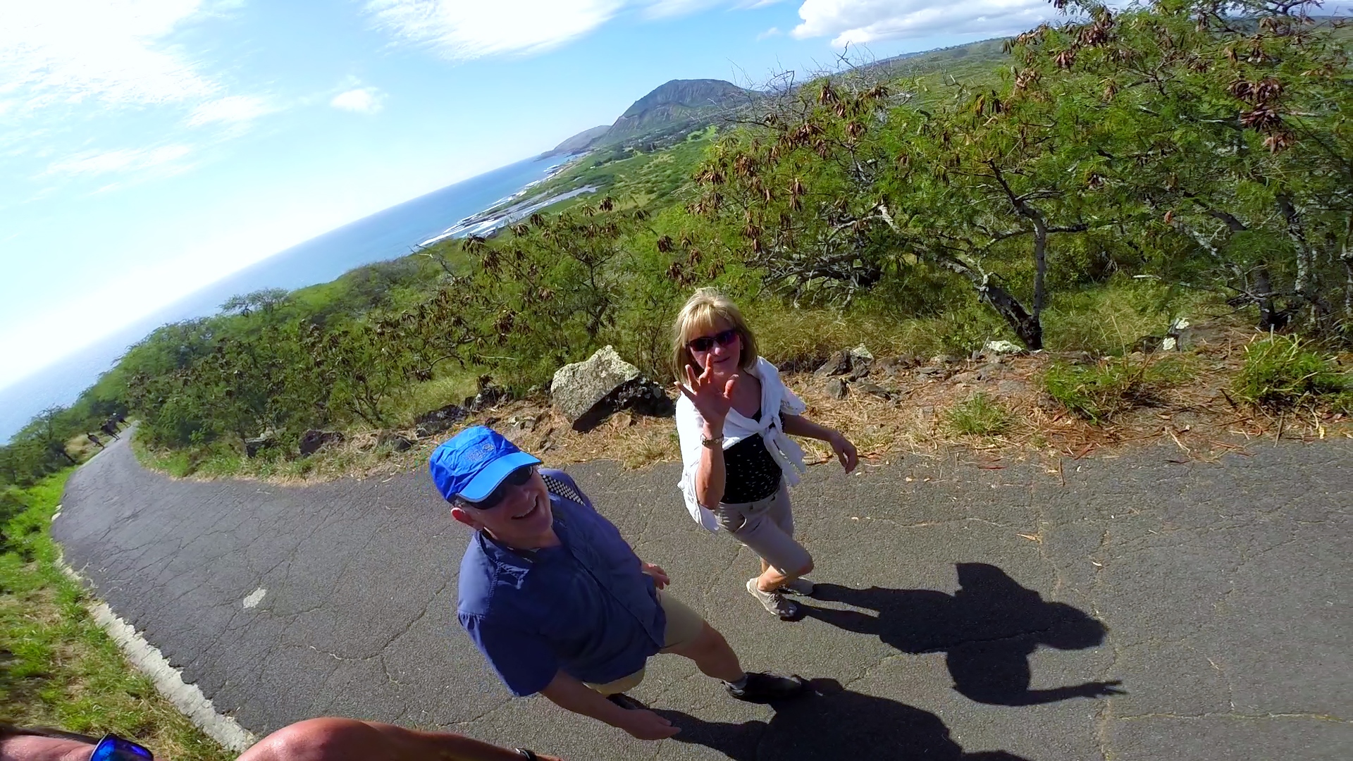
Koko Crater Hike
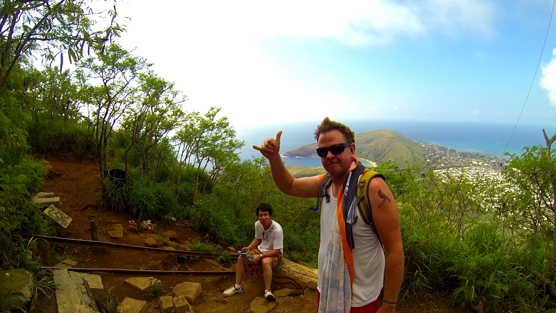
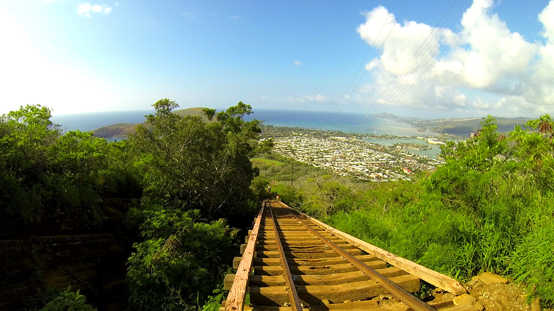
Koko Crater Hiking Trail (commonly mistaken for Koko Head) is a popular 1.5 mile round trip hiking trail comprises of 1,048 railroad tie steps rising 1,208 feet gain. It’s a great workout (actually kicks your ass) and can take the average person about an hour or more to get to the top although many do it in 20-minutes or less. The panoramic views from the top are awesome. On a clear day, you can see all along the Windward coastline, Honolulu, and even Maui, Molokai and Lanai Islands.
Koko Head is the headland that defines the eastern side of Maunalua Bay along the southeastern side of the Island of Oahu. Koko Head (at 642 ft.) is an ancient tuff cone that is dwarfed by its neighboring tuff cone, Koko Crater, with its peak, Kohelepelepe (or Puʻu Mai), rising to 1208 ft. Koko Head itself has three significant depressions or old vents, the largest of which forms the well-known Hanauma Bay.


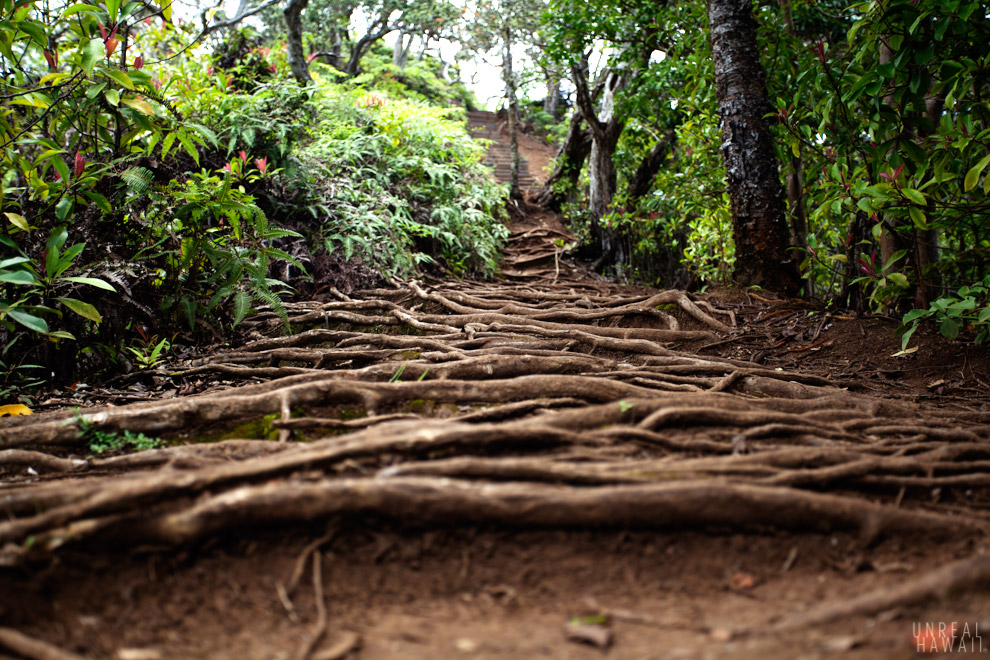
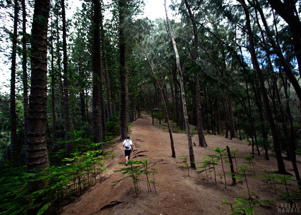
Kuli`ou`ou Ridge Trail
Kuli`ou`ou Ridge Trail is a moderate 5-mile round trip hike with awesome views and takes approximately 4-hours. The ascent can be pretty challenging especially if it’s muddy. The trail traverses through an assortment of exotic vegetation typical of arid areas: Christmas berry, haole koa, formosa koa, ironwood, Norfolk pine and guava. Beyond the shelter and the guava forest, the trail breaks out of the canopy and into uluhe-o`hia-koa-lama forest. The last 1/3 of the hike, you will be greeted by about 200 stairs.
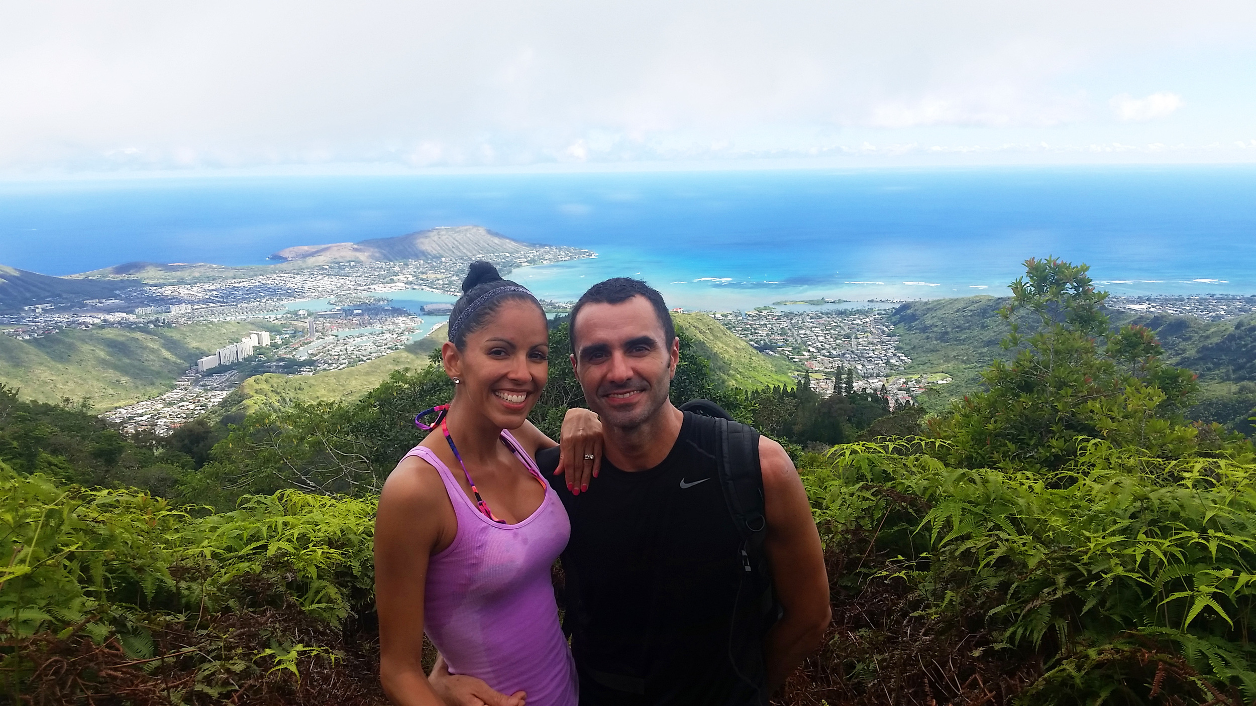
The peak of Kuliouou Ridge, on a clear day, is a very rewarding one. You get beautiful views of the Windward side and can see all the way to Kahana Valley. To the right you will also be able to see all of Hawaii Kai and even Koko Crater. It’s a beautiful lookout point. It is possible that the clouds can cover the summit since it is 2,119 feet up thus rendering no views. The clouds tend to move quickly though and clear up most of the time so you can see the spectacular views.


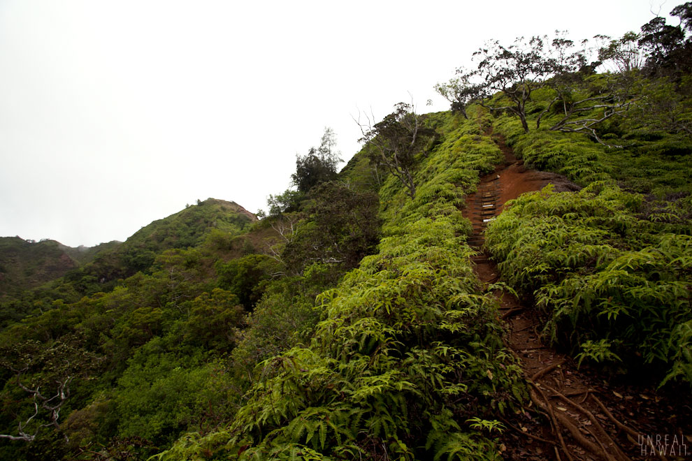
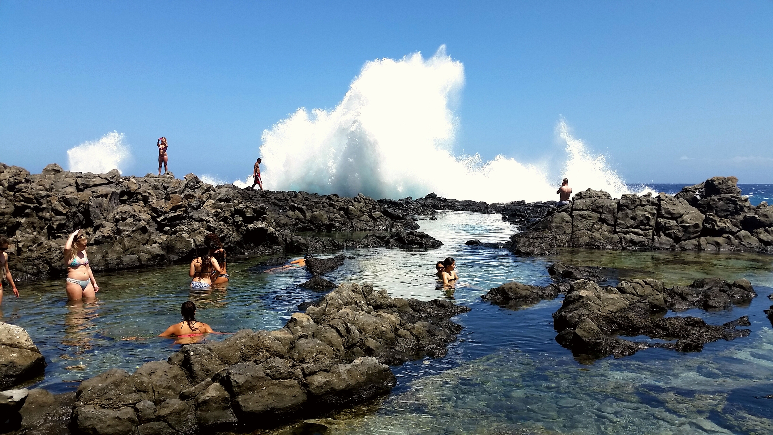
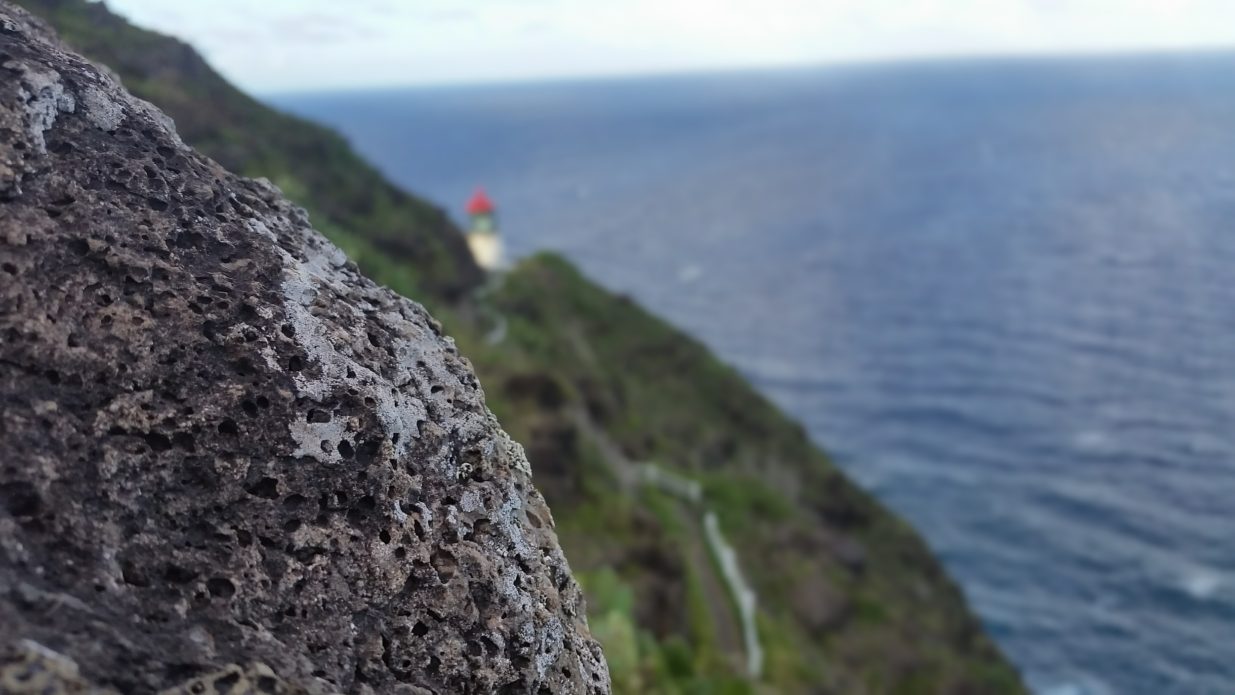
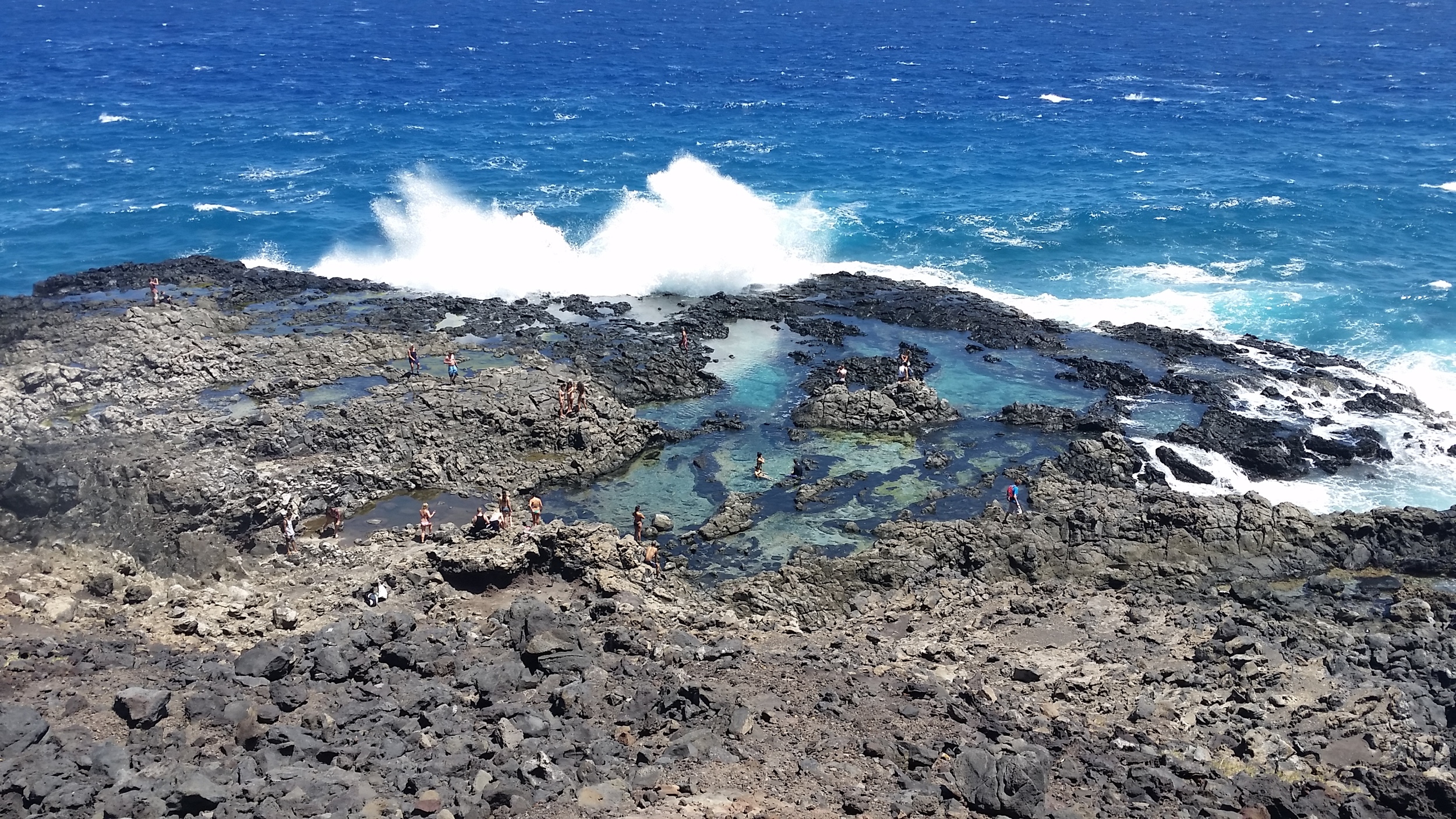
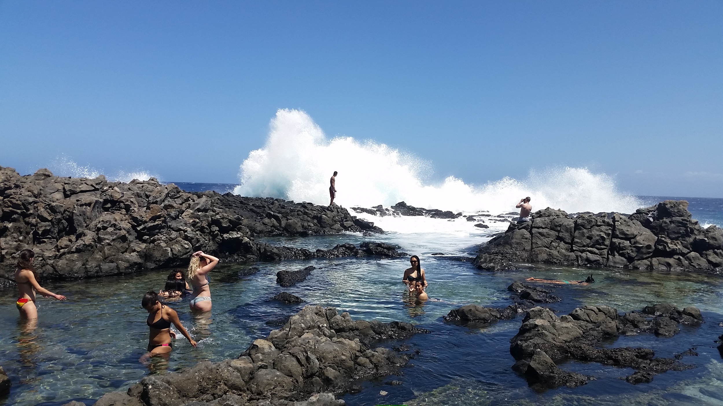
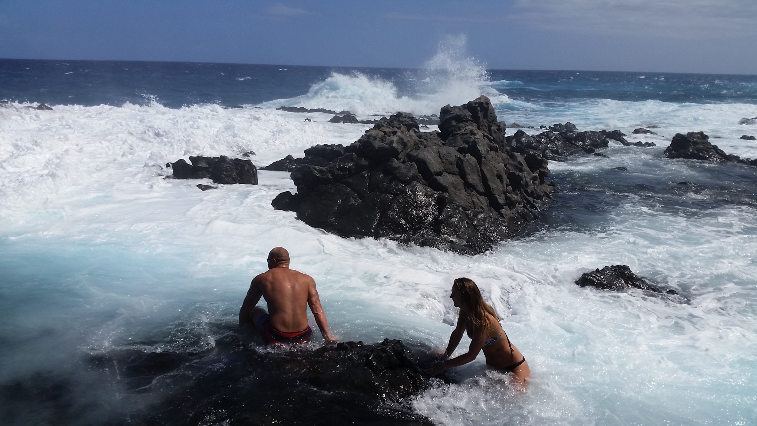
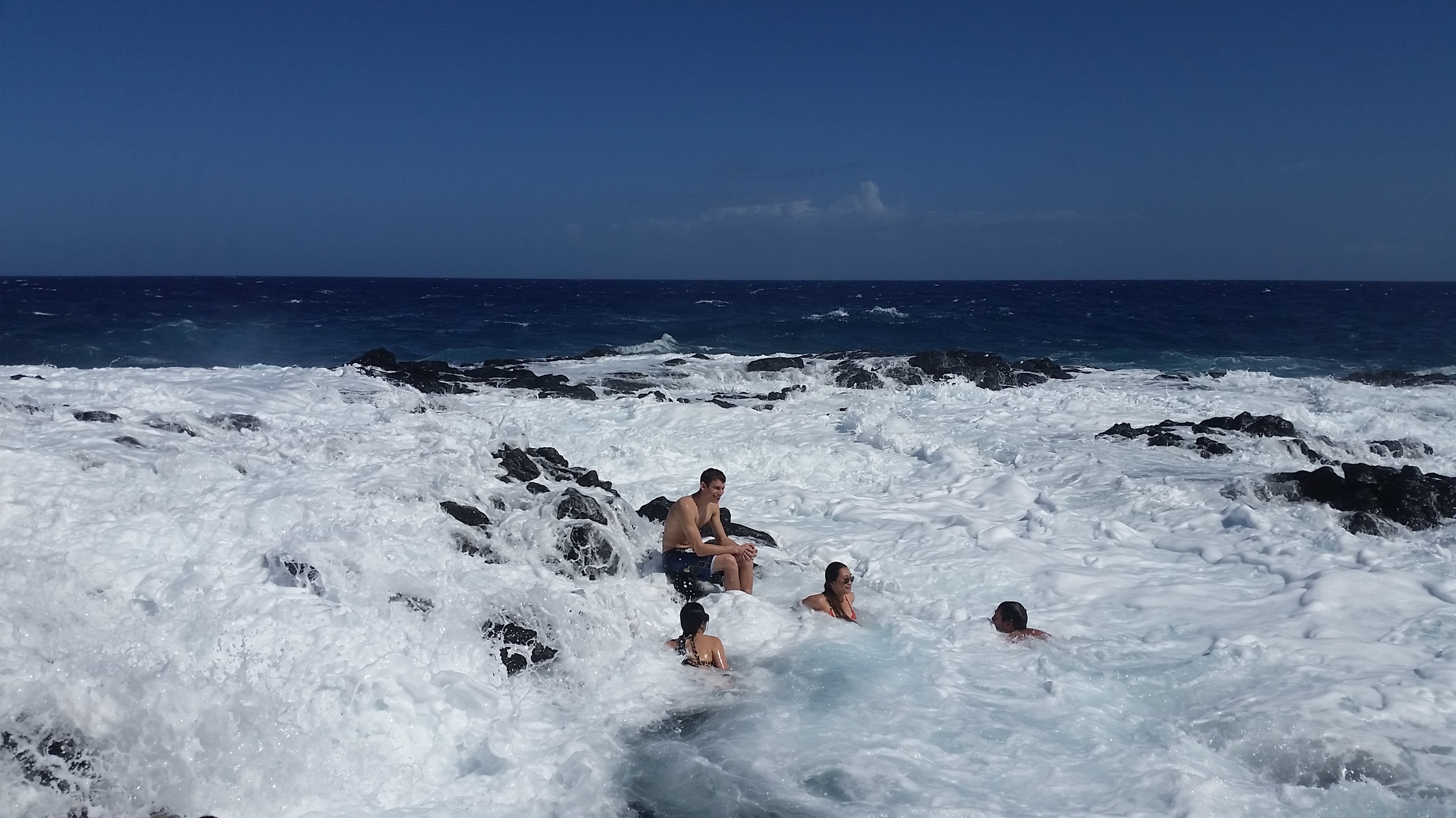
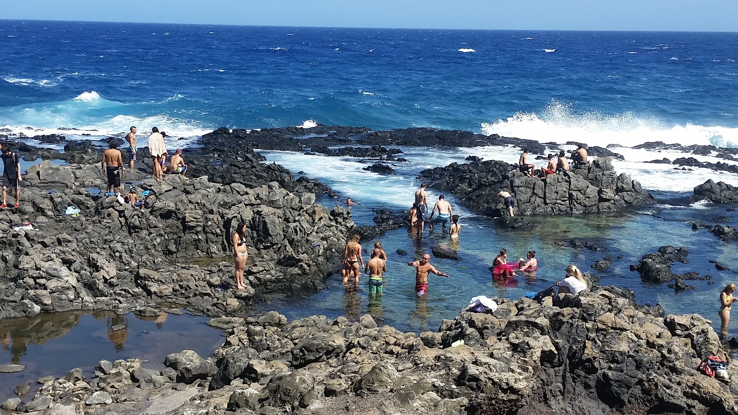
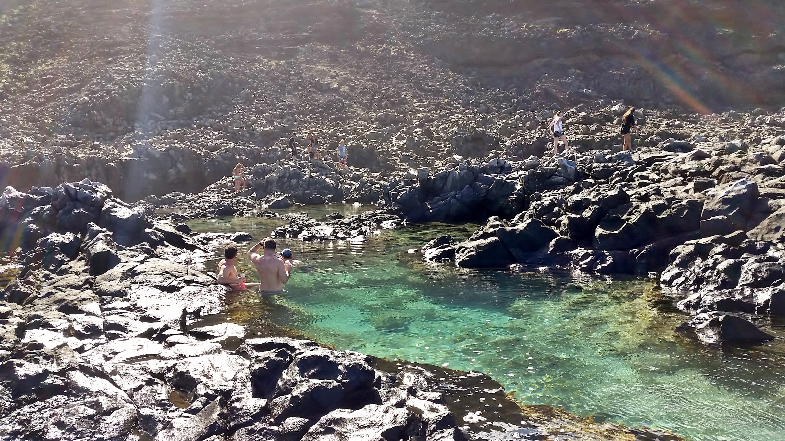
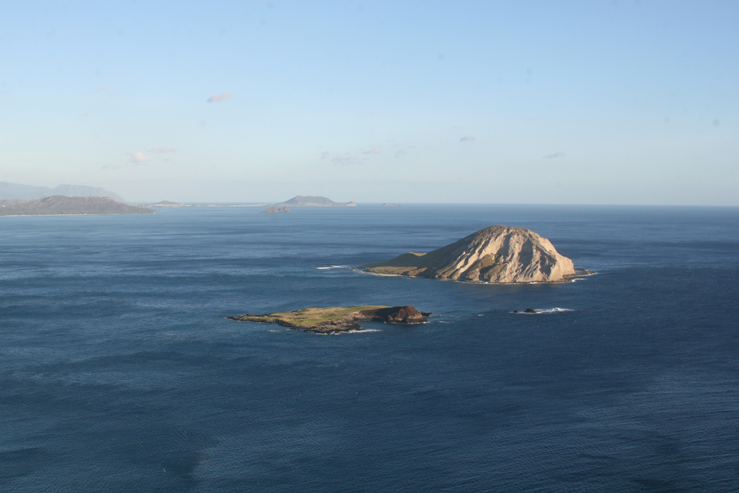
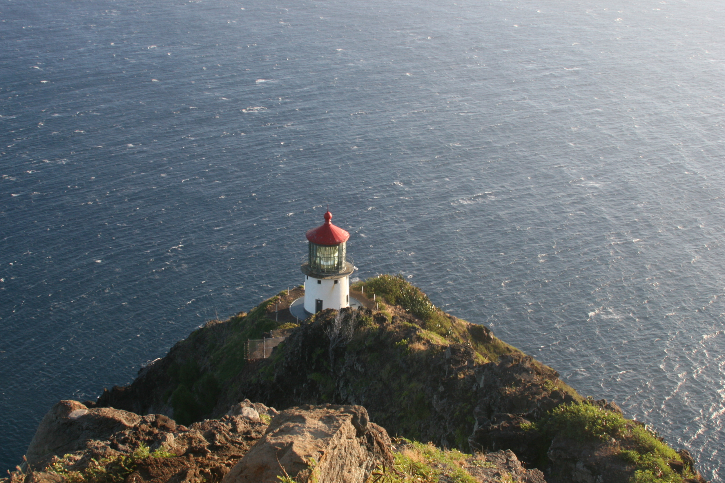
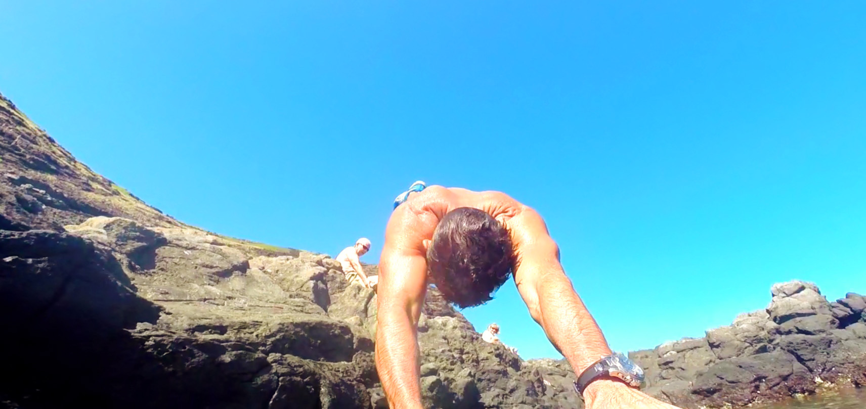
Makapu’u Tide Pools
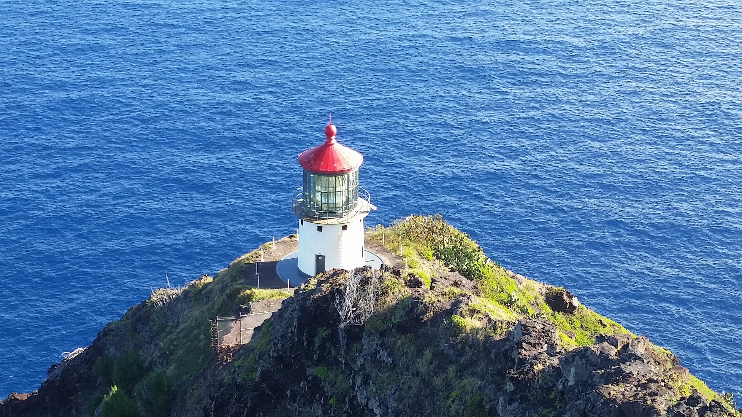
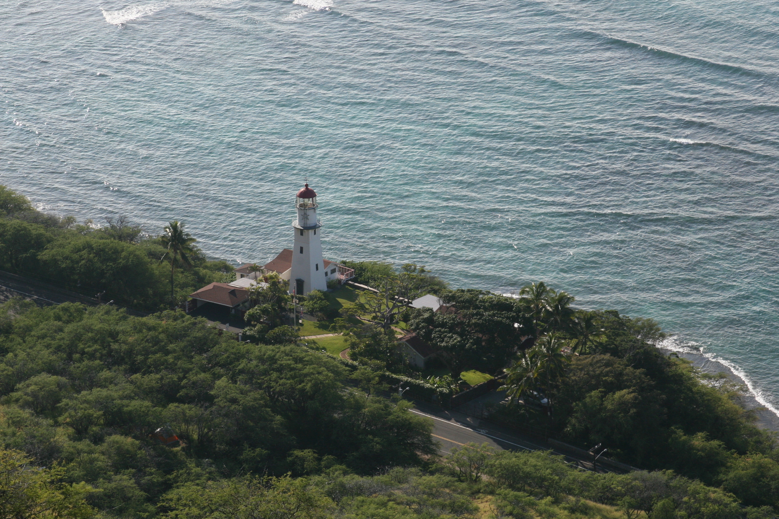
The Makapu’u Lighthouse Trail is a popular paved, 2-mile round trip trail hike. This easy to moderate summit trail has stunning views overlooking Makapu’u Beach, Koko Head, the windward coast, Maui, Molokai & Lanai neighboring islands and of course the Makapu’u lighthouse.
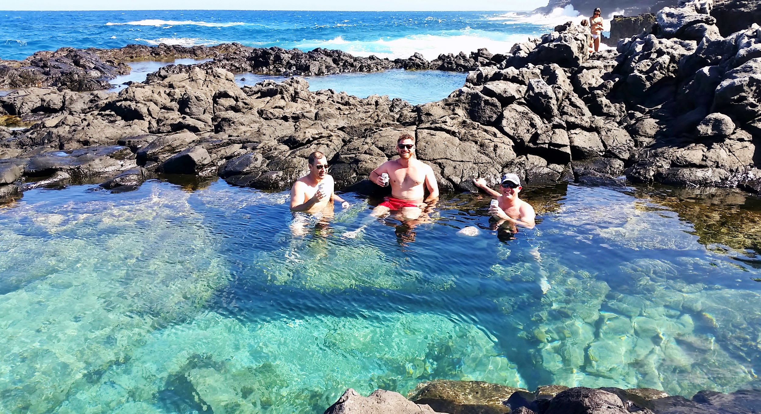
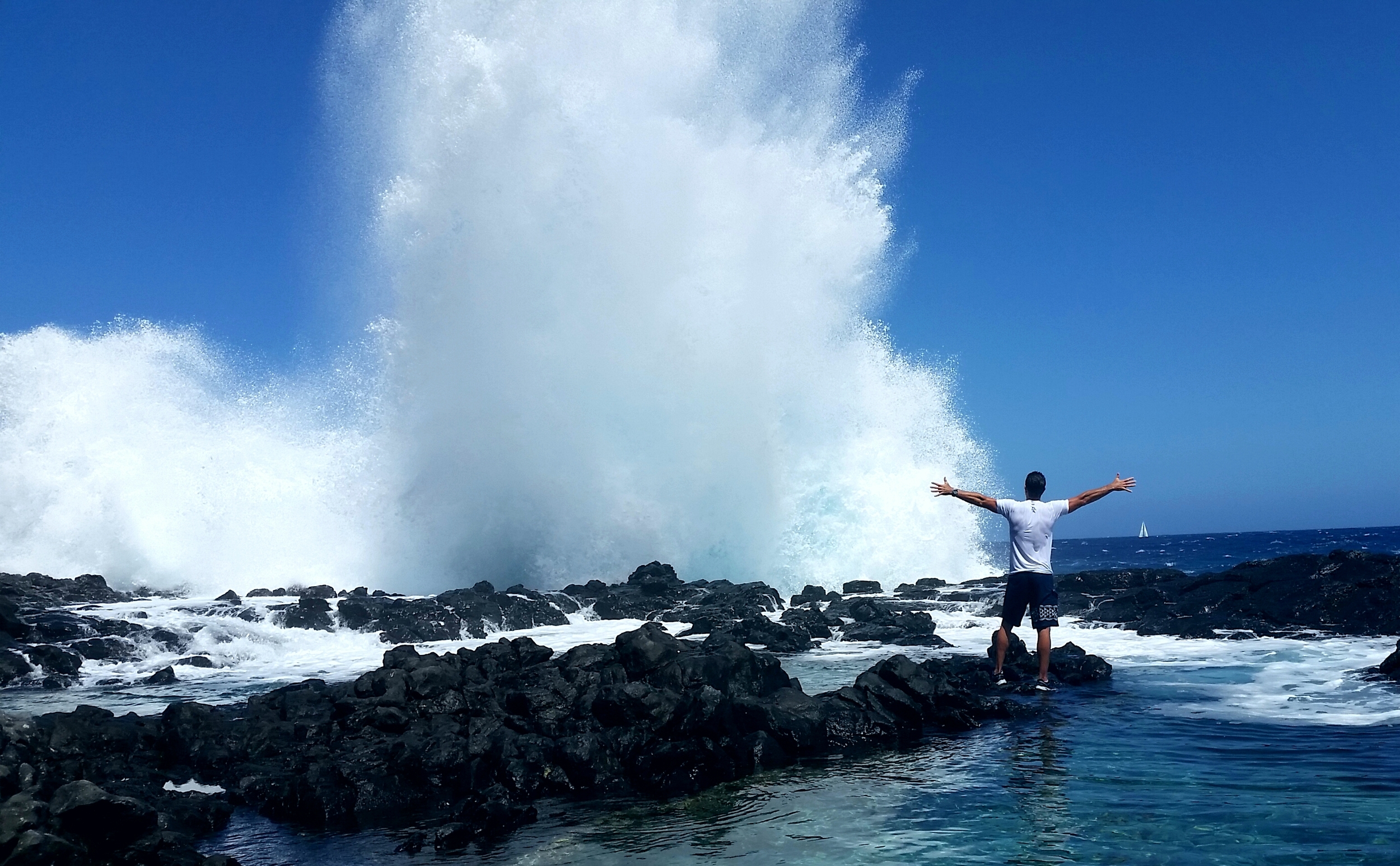
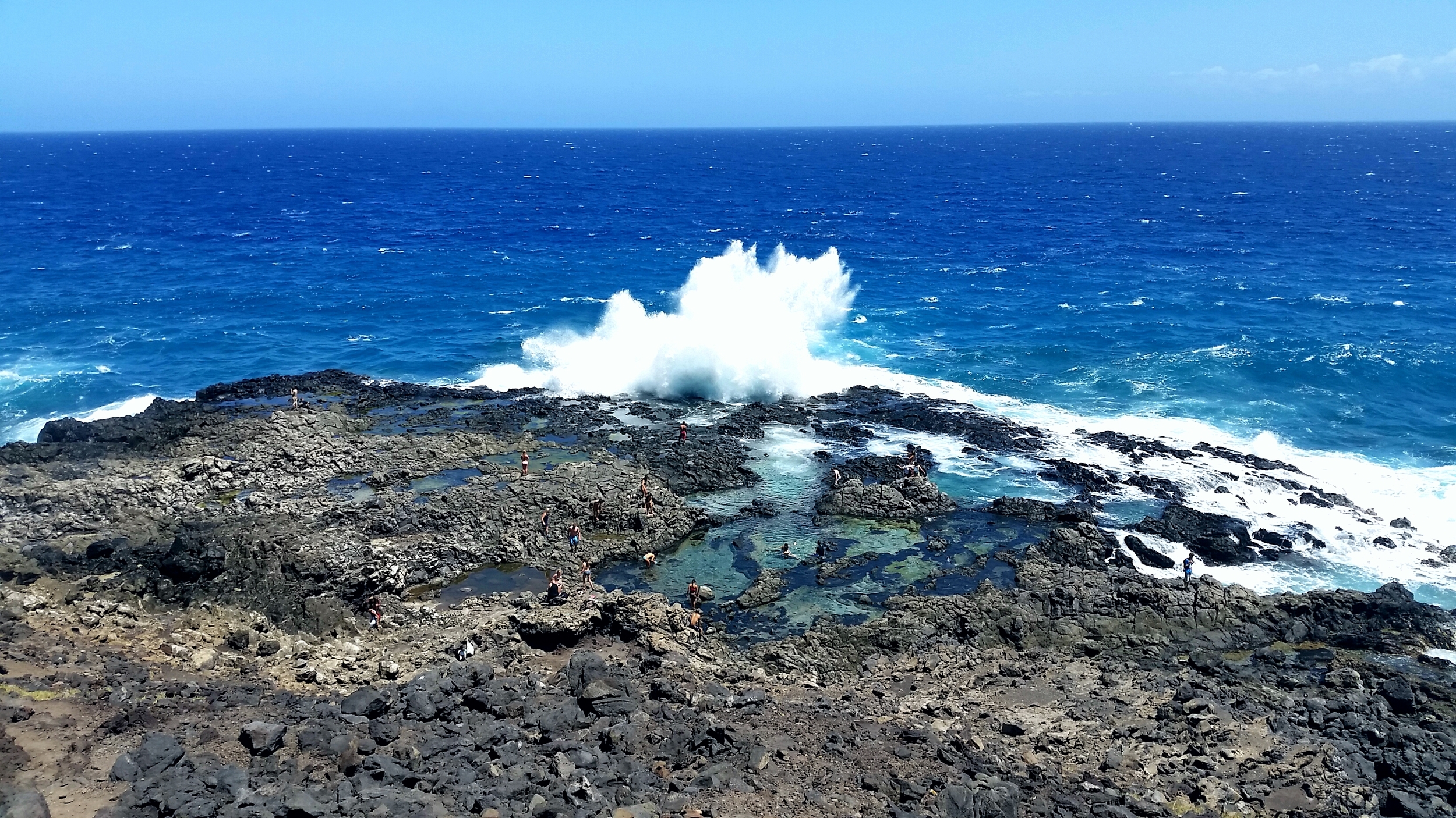
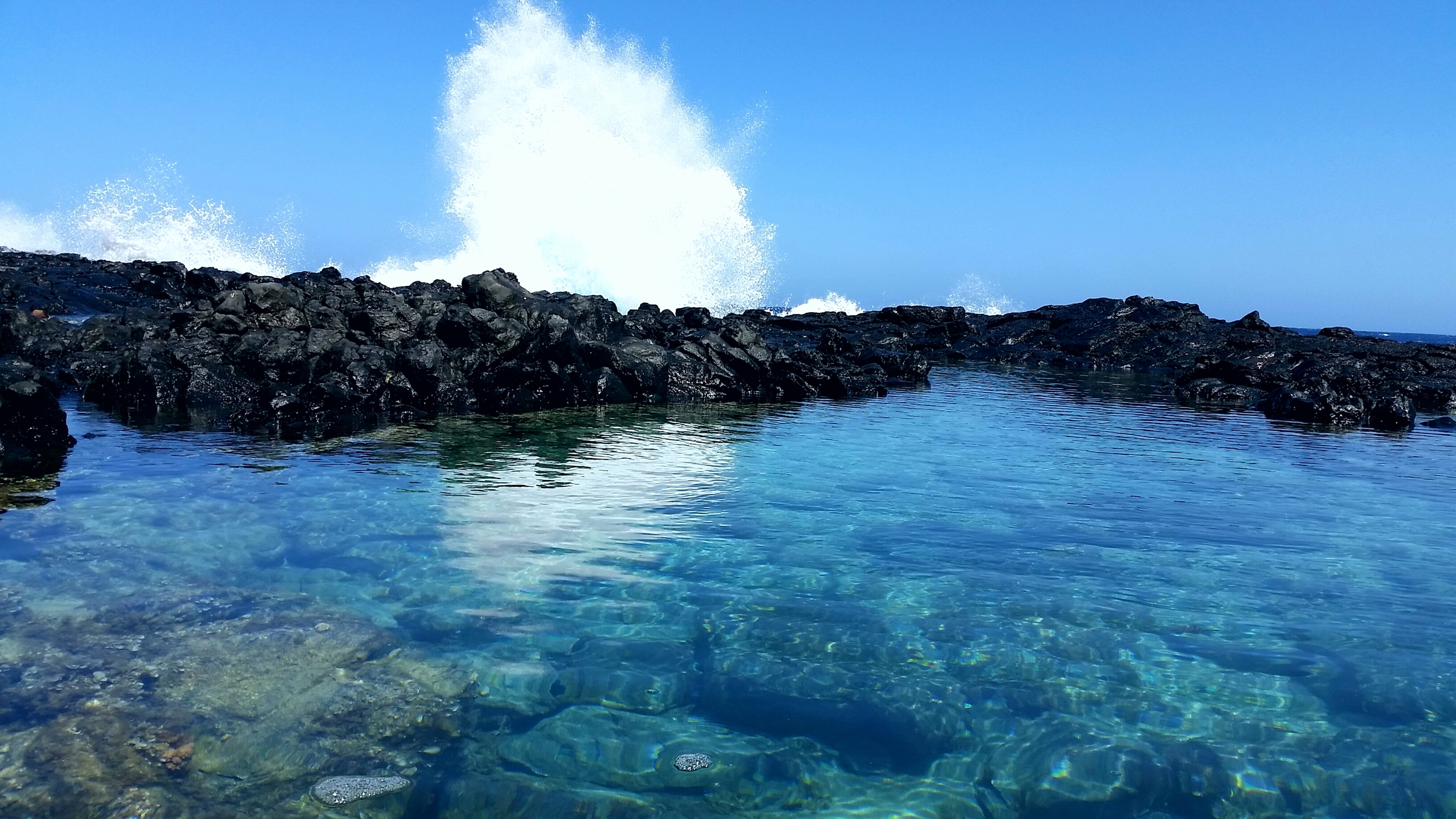
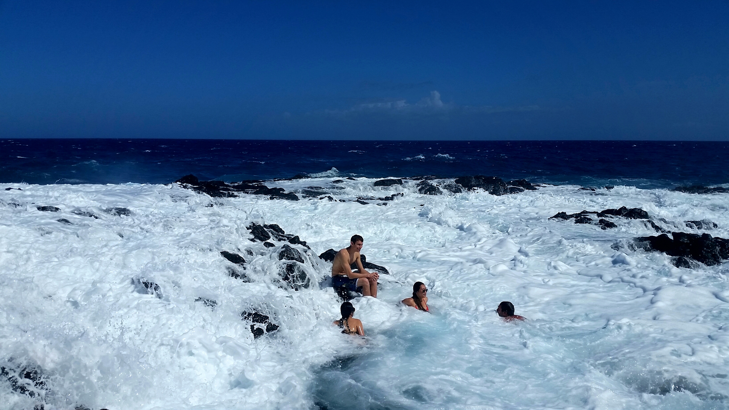
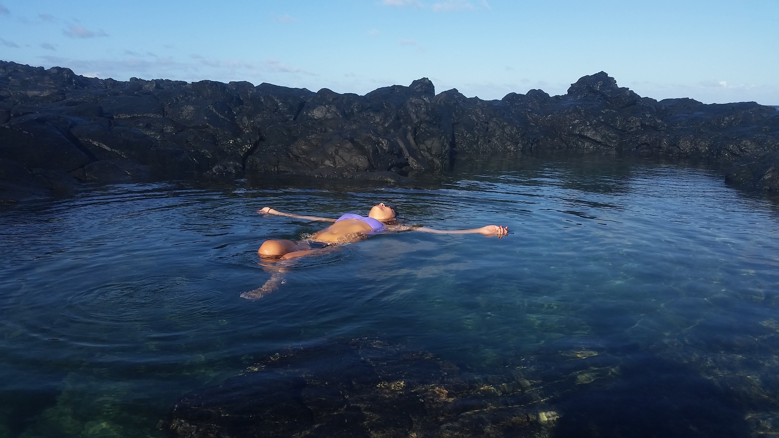
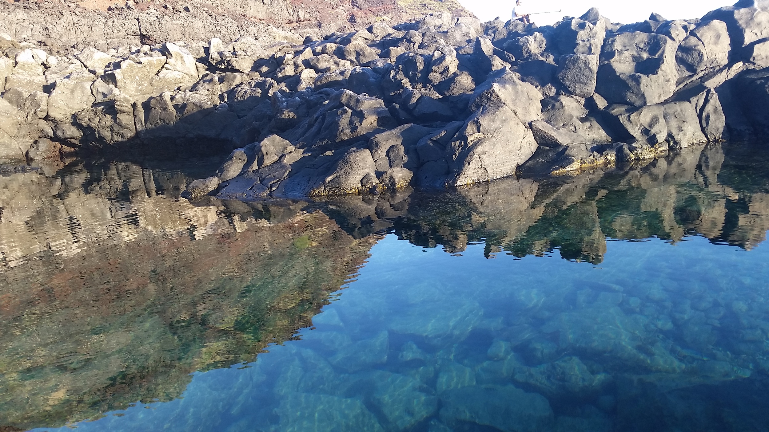
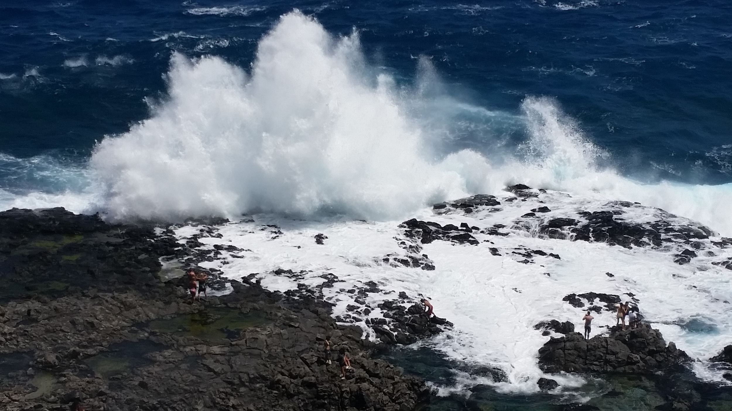
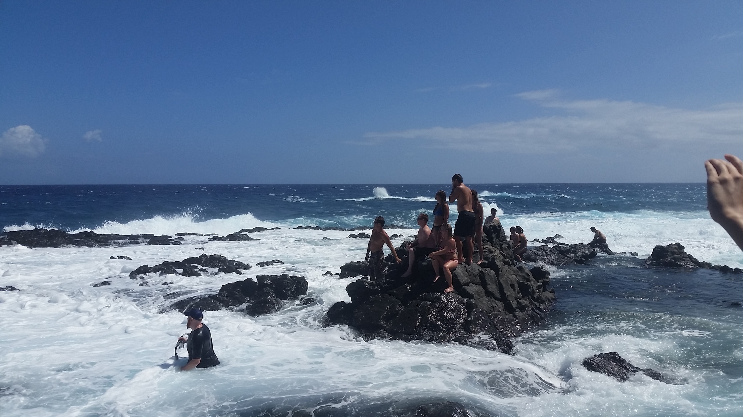
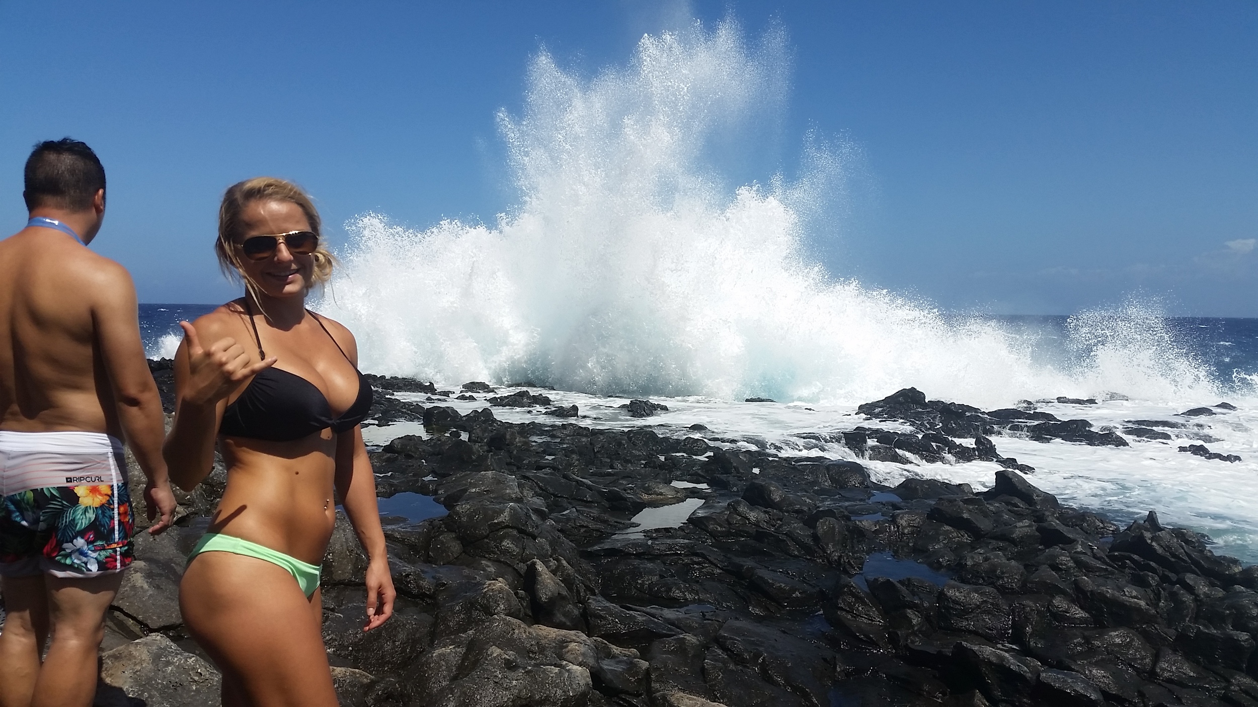
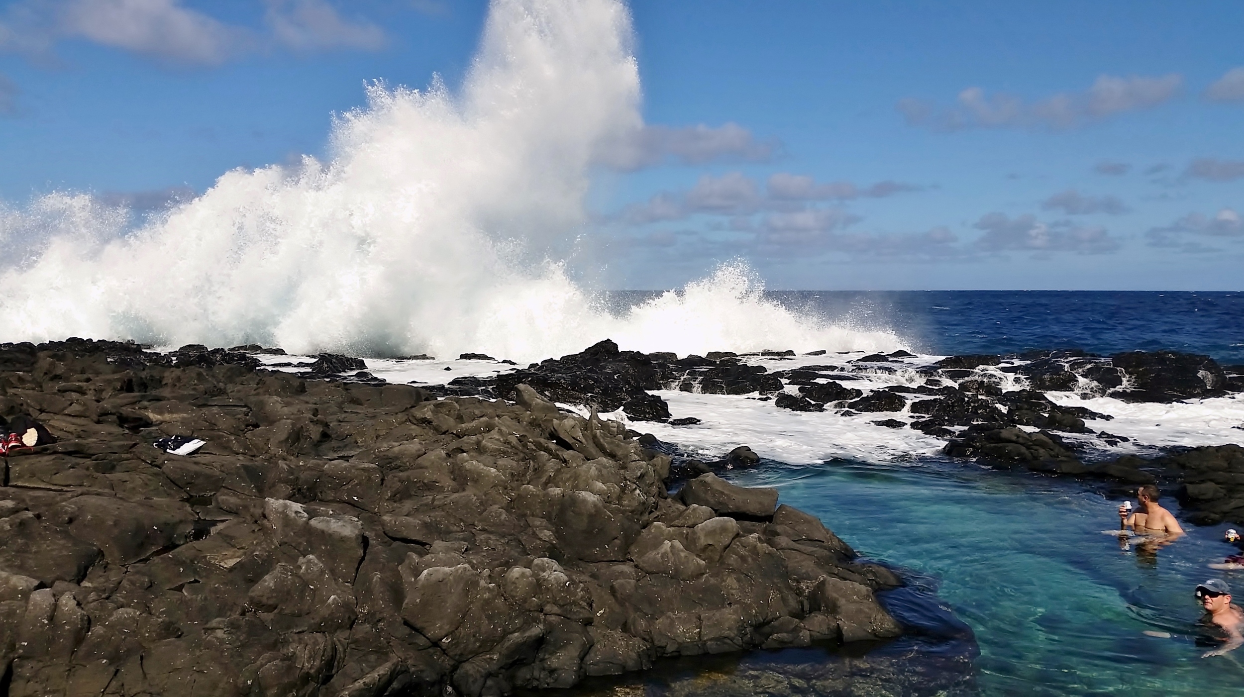
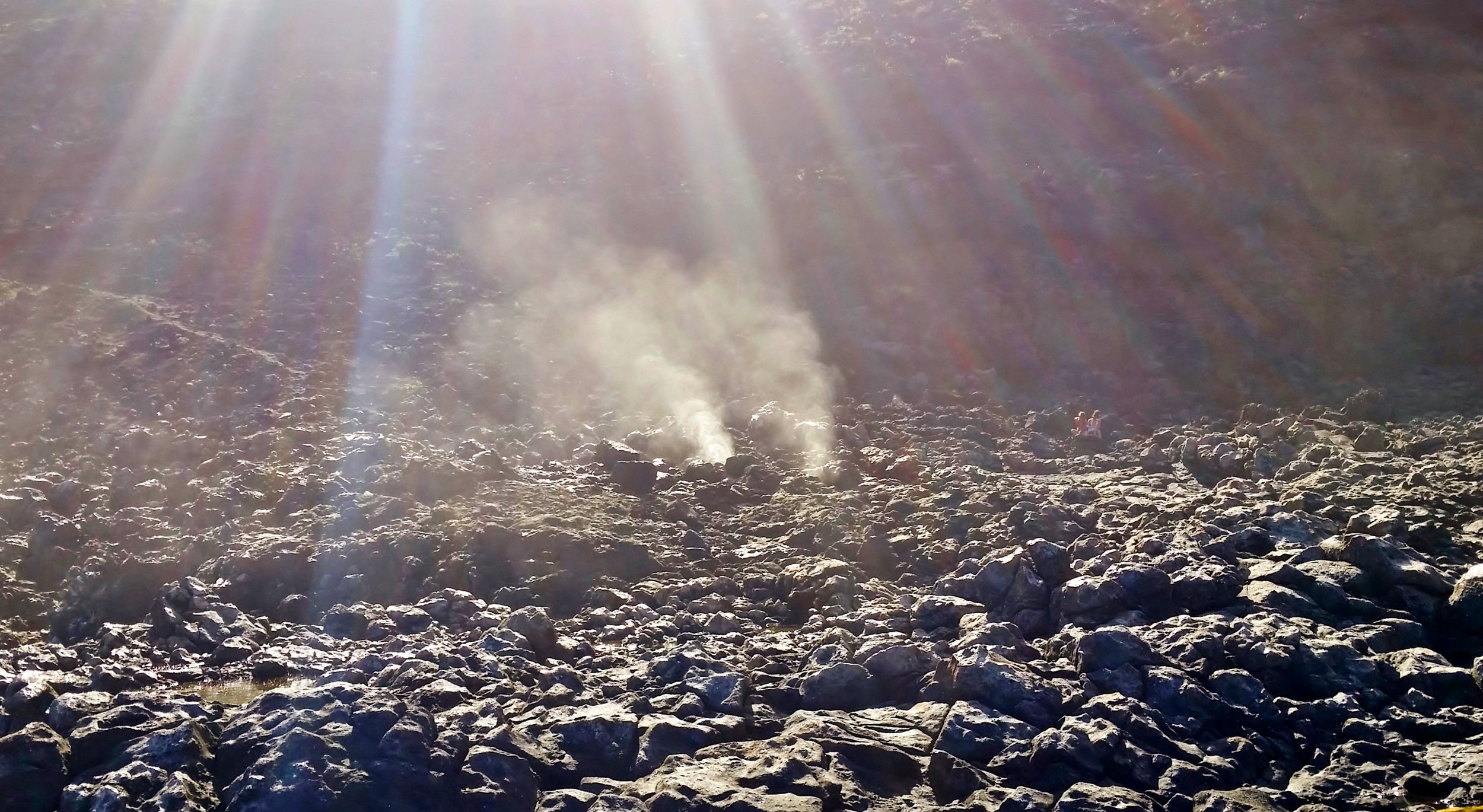
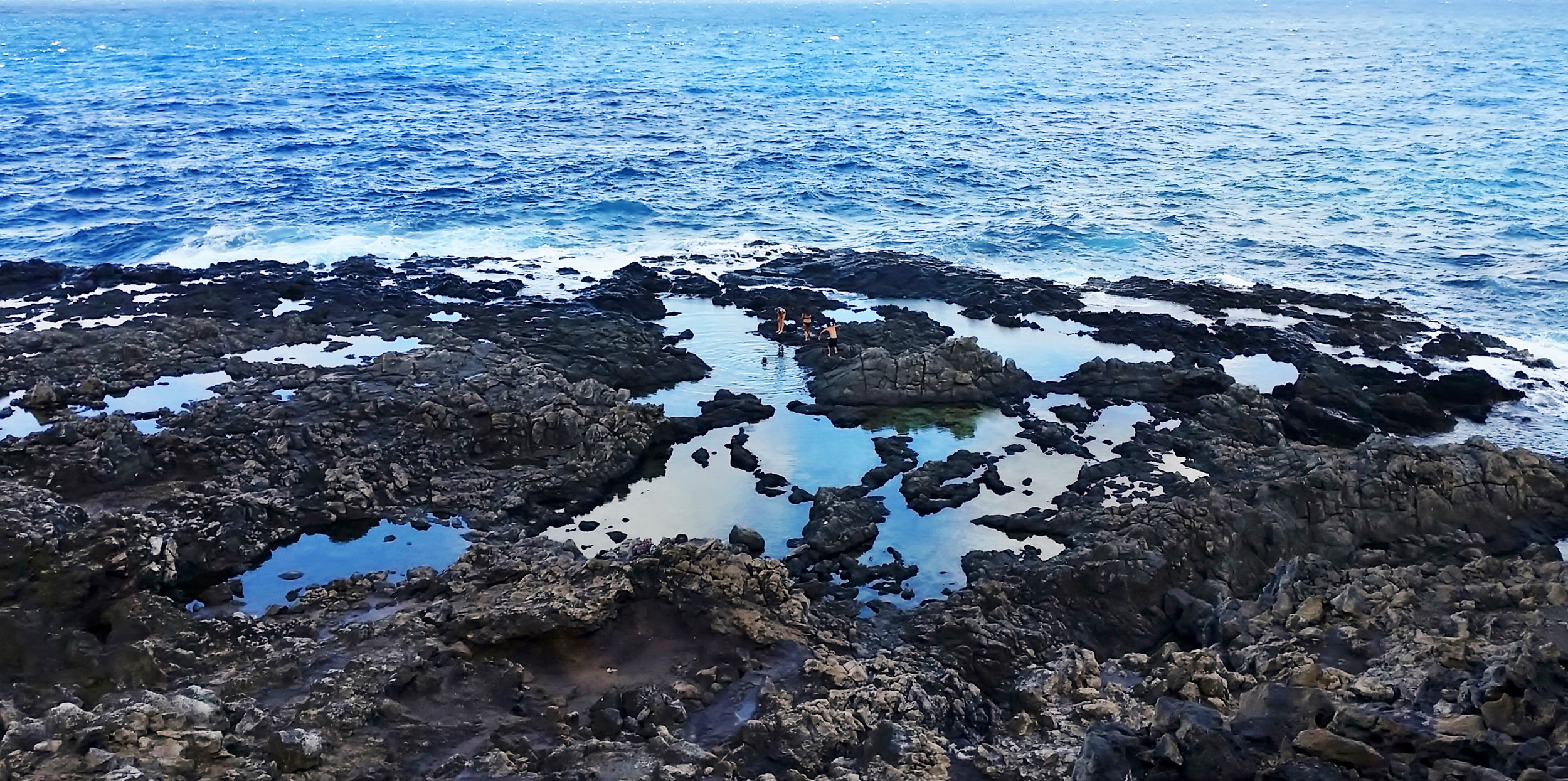
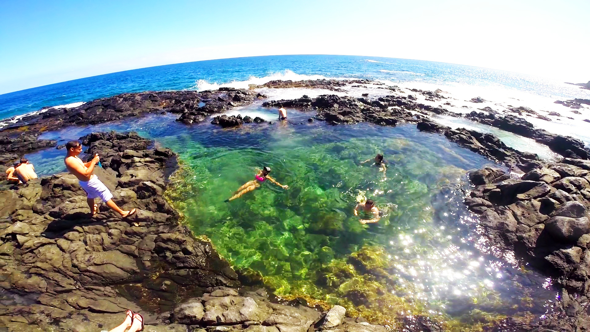
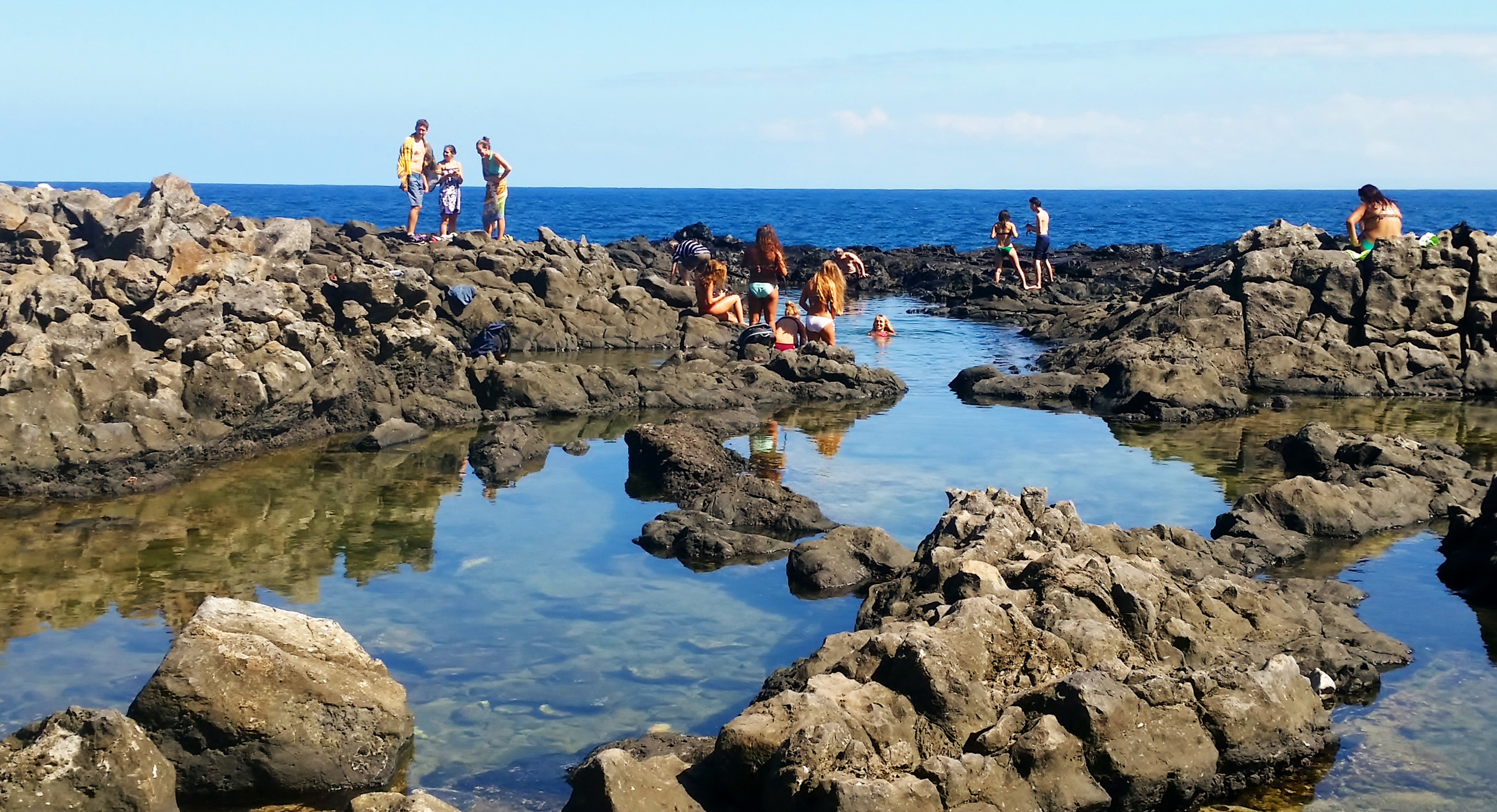
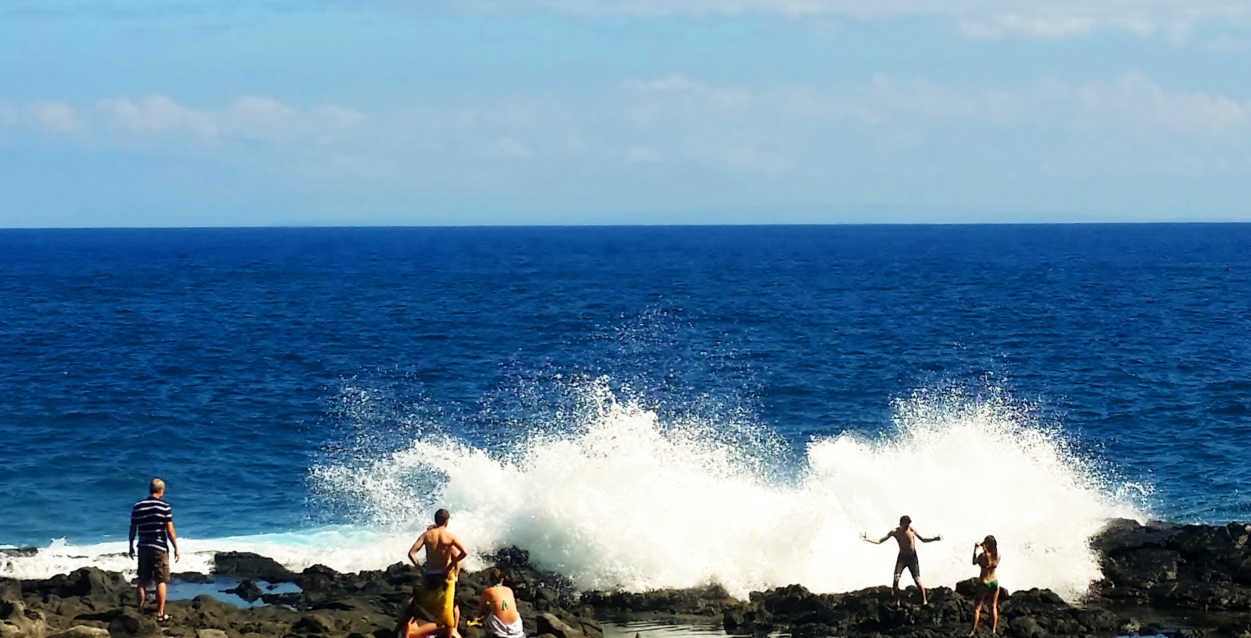
About halfway to the top of this trail there is a place you can go down to the tide pools. The mountainside is somewhat steep and from the top you can see the tide pools and blowholes about 500 feet down below. Once you travel down the steep, rocky trail you arrive at the beautiful Makapu’u Tide Pools and the “Dragons Nostrils Blowholes” where ocean water travels through and blasts up to 40-feet in the air depending on the surf and tide conditions.
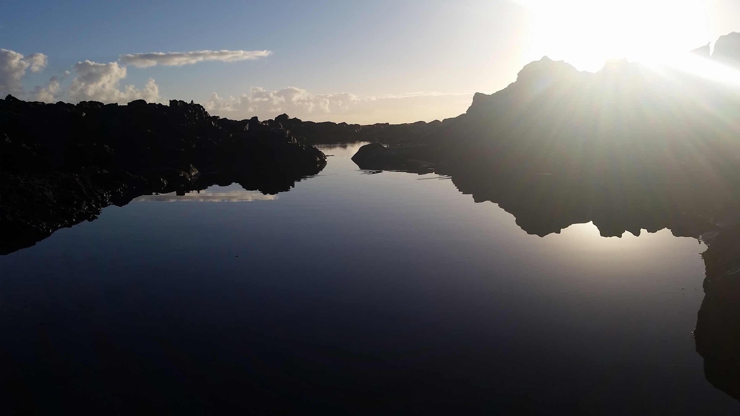
Then we enjoy swimming in the beautiful warm waters of the various tide pools which range from 3-7 feet deep. There are many colorful fish inside the tide pools that were thrown in by the crashing waves. During whale season you can sit back and watch the Humpback Whales go by since the channel directly off this area of the coastline is where they travel through. We suggest you plan about 4-hours for the round-trip hike and time to enjoy swimming in the tide pools.


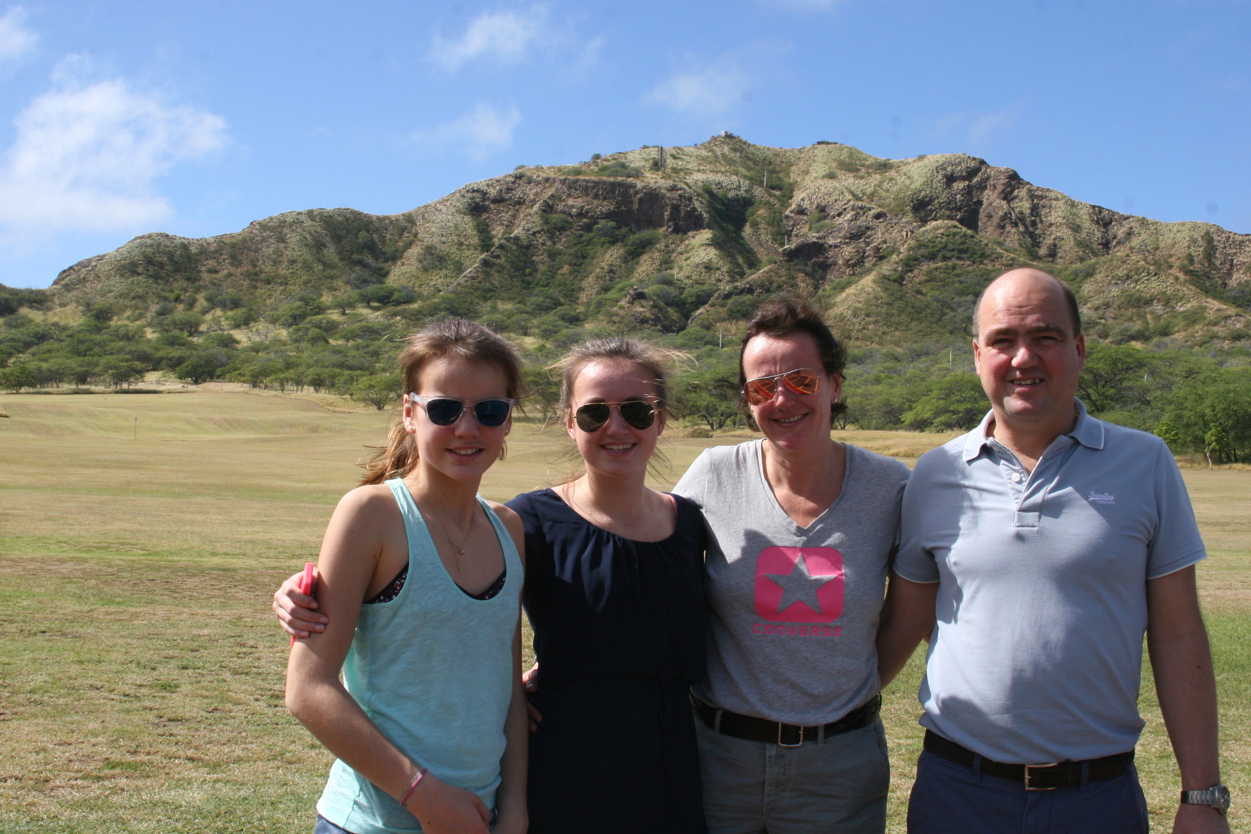
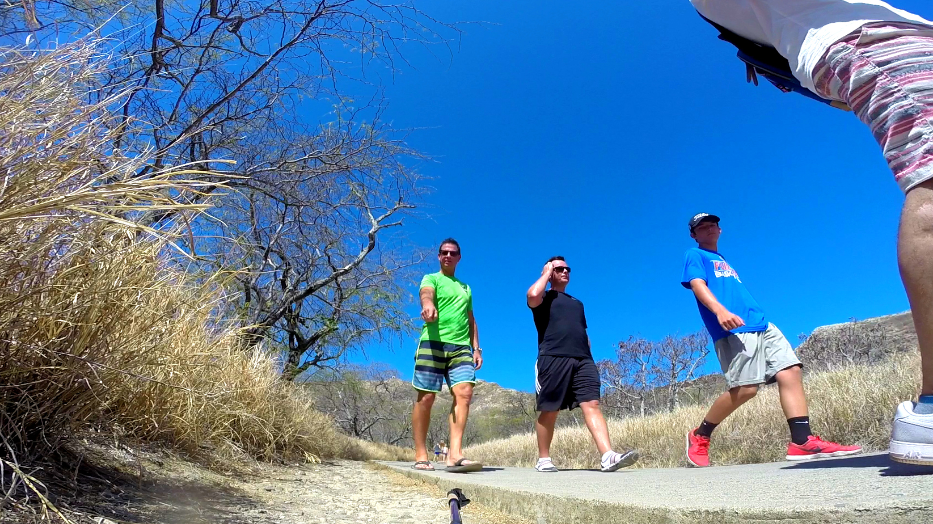
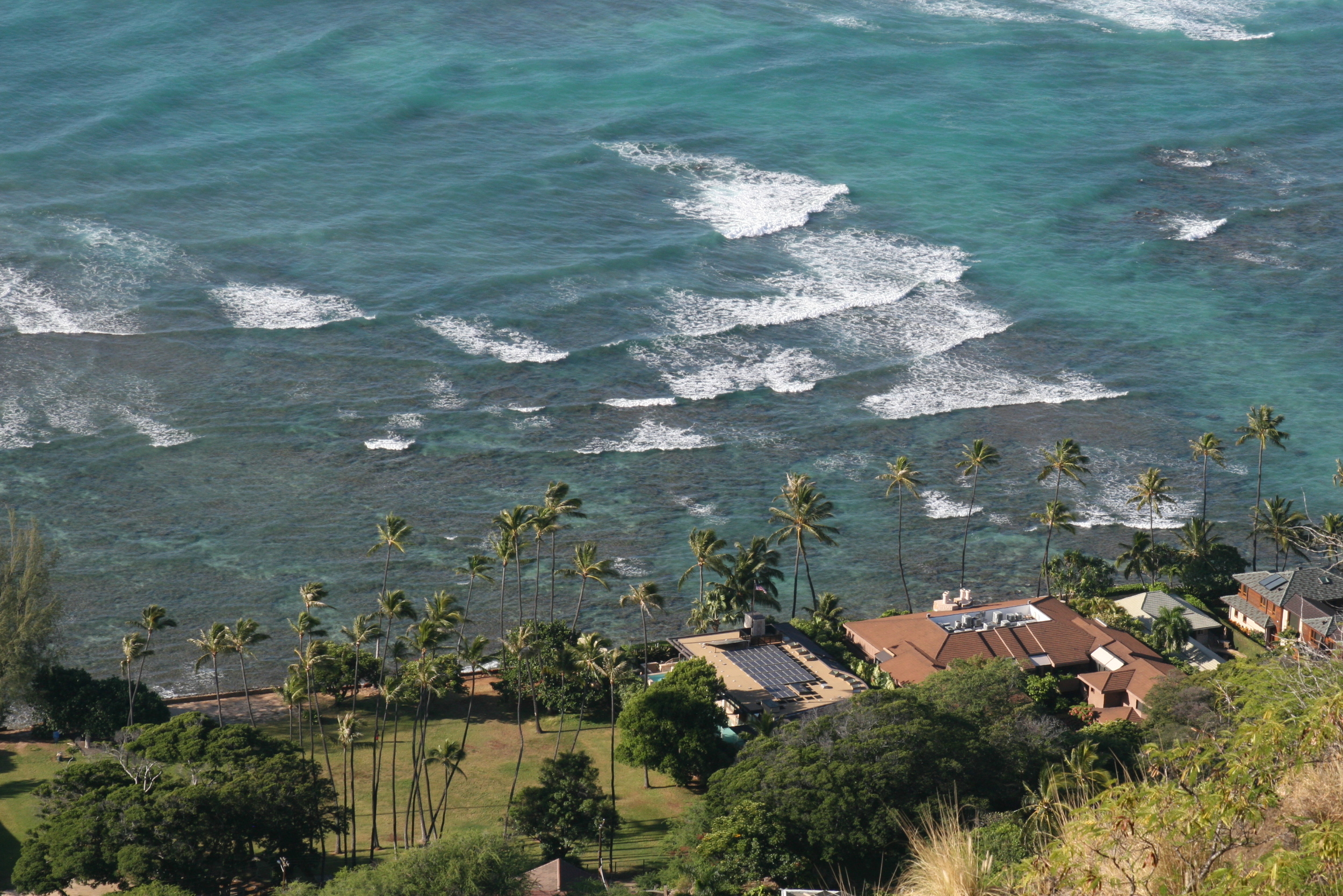
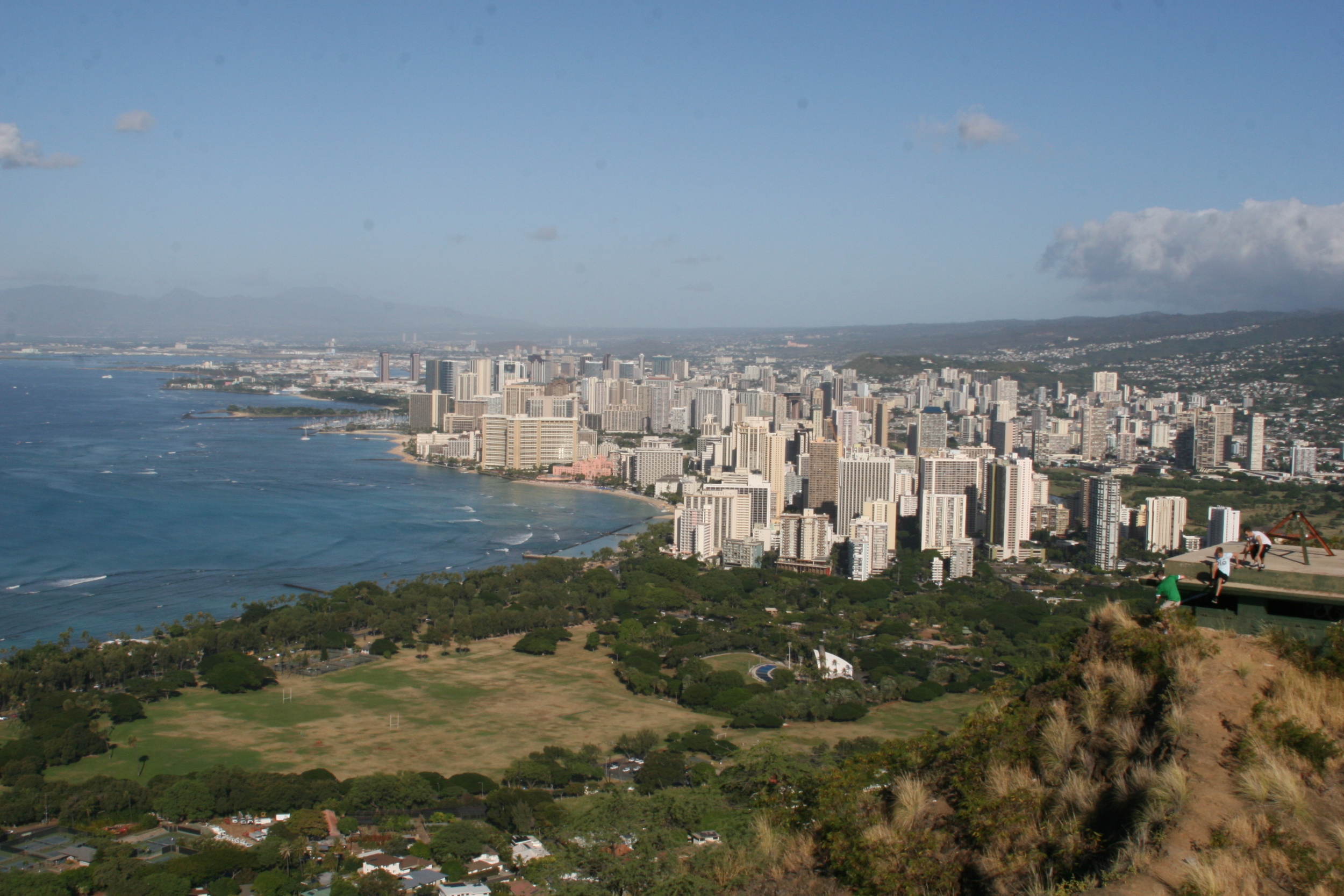
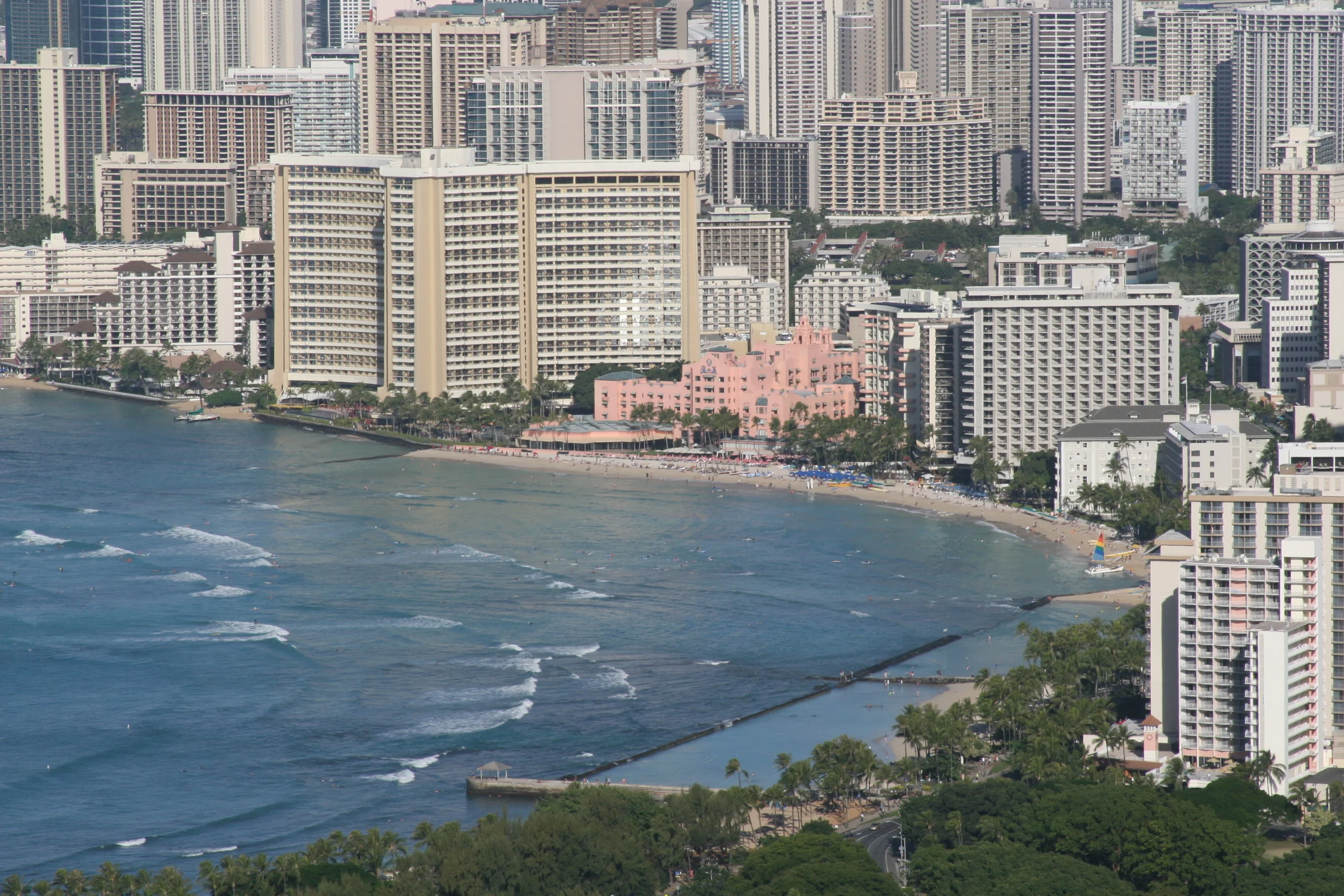
Diamond Head
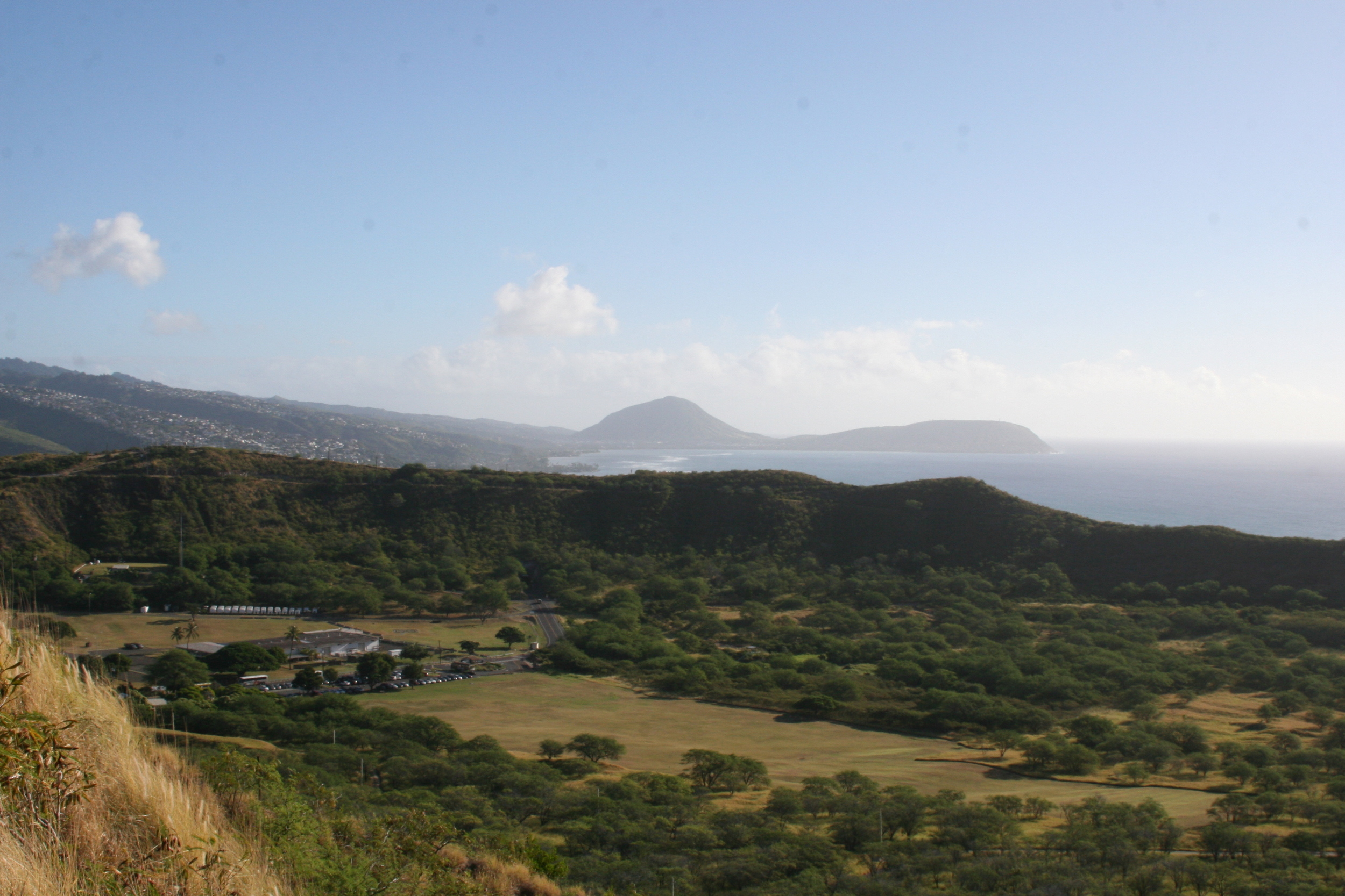
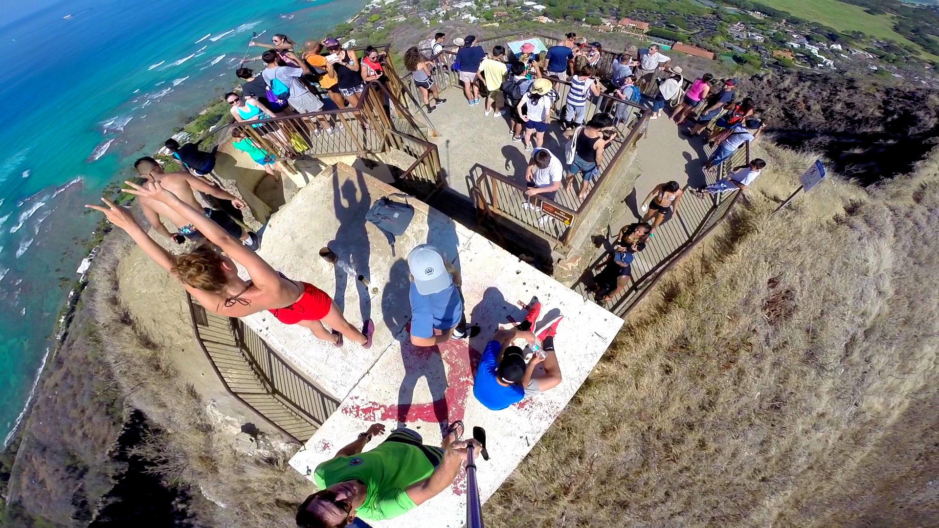
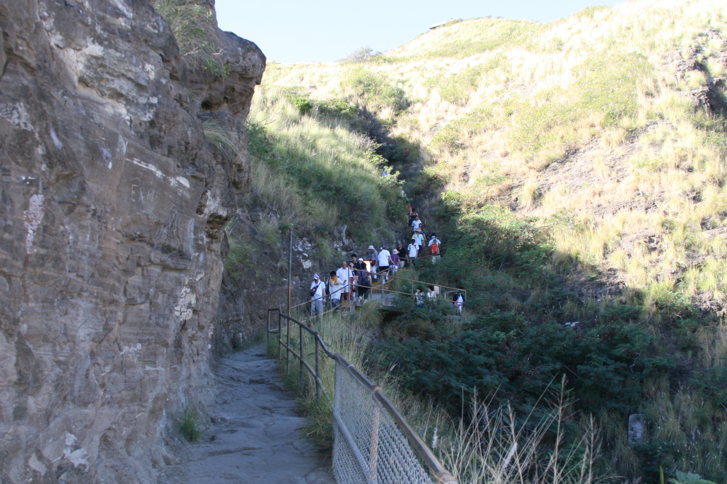
Diamond Head Trail is the most popular hike in Oahu. While fairly steep, this moderate 1.6-mile round-trip hike starts from the middle of the Diamond Head volcano crater and climbs about 560 feet up the side to the top of the rim offering amazing 360 degrees views when you reach the top. Hiking Diamond Head might first appear to be a challenging climb, but this trail can be deceiving, as it really only takes about 30-40 minutes to reach the 760-foot summit.
The Diamond Head crater is more than 3,500 feet in diameter and is part of the system of tuff cones, vents, and their associated eruption flows that are collectively known to geologists as the Honolulu Volcanic Series, eruptions from the Koʻolau Volcano that took place long after the volcano formed and had gone dormant. The trail was built in 1908 as part of the Oahu coastal defense system. The World War II bunkers on top now support antennas used by the government.
The Hawaiian name is Lēʻahi which means “brow of the tuna” in Hawaiian because the shape of the ridgeline resembles the shape of a tuna's dorsal fin. Its English name was given by British sailors in the 19th century, who mistook the calcite crystals on the in the region for diamonds.


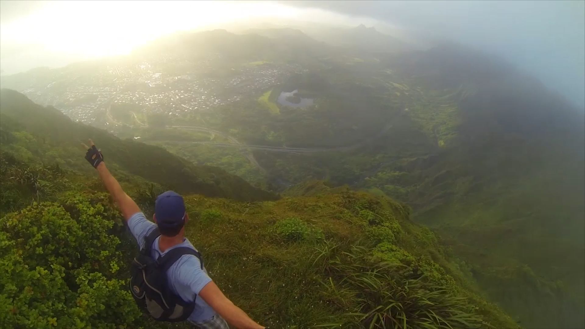
Stairway to Heaven (Illegal Hike)
This hike is illegal since trespassing is involved to gain access to the base of the staircase. There are a couple ways to come in from the backside but once you come down the stairs you will be trespassing. Out of respect to the people of Hawaii we can’t recommend or take you on this hike but every so often we find ourselves somewhere on the trail “to Heaven”
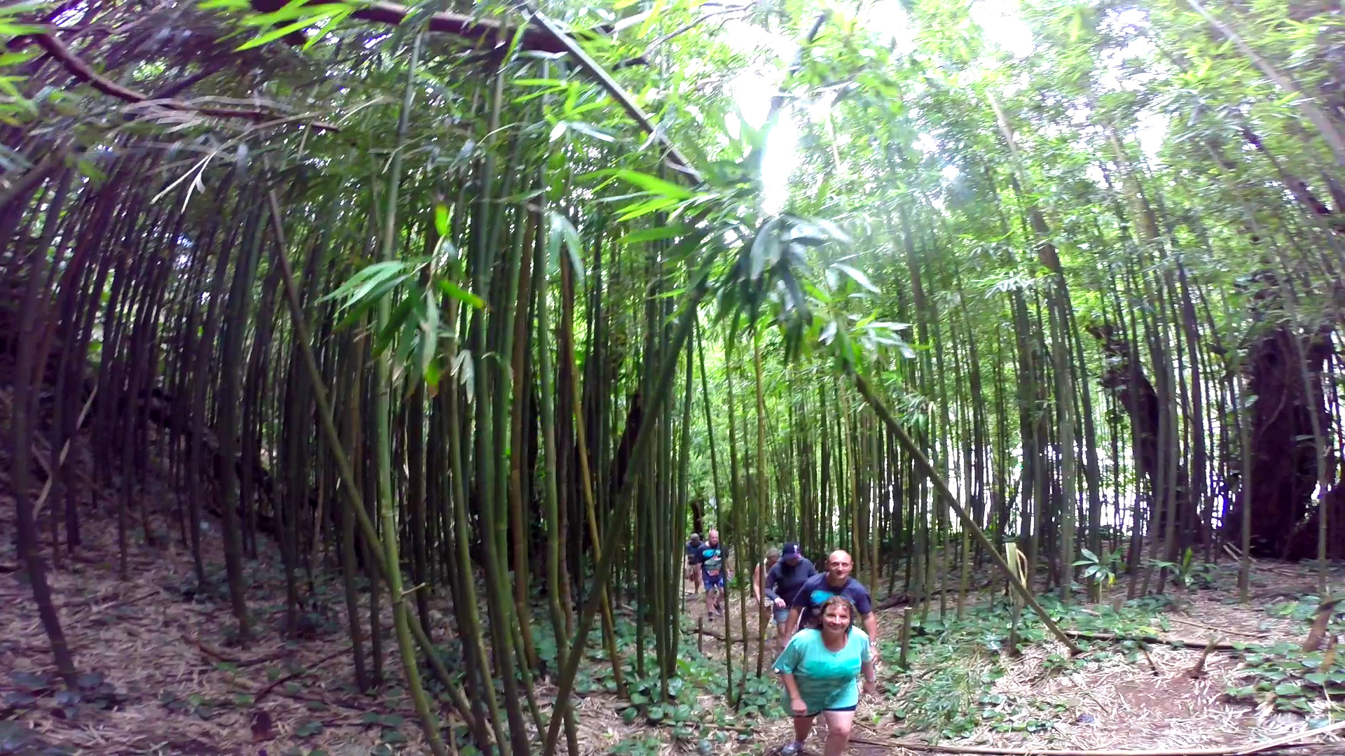
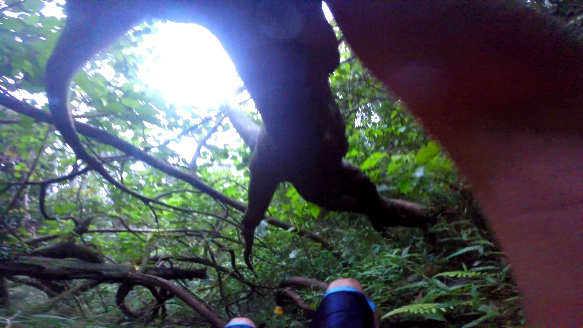
The Haiku Stairs, also known as the “Stairway to Heaven” or Haʻikū Ladder, is a very steep hiking trail comprising of 3,922 steps up to an elevation of almost 3,000-feet along the spine and ridgeline of the Ko'olau Mountain range. This hike offers some of the most breath-taking views you will ever see in your lifetime.
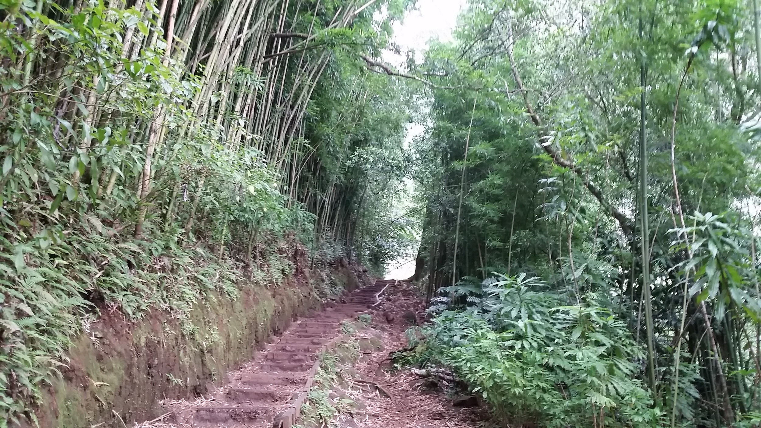
This particular hike is dangerous and there is a section of the staircase that came apart during a storm in 2014. We do not endorse breaking laws but understand many people desire to hike this trail and will likely figure a way to do it anyways. There is a guard at the base of the stairs and is known to call the police to cite those who trespass. To get to the base of the stairs requires you to jump a barb-wire fence and hike through a maze of bamboo trees for 15-20 minutes if you know where you are going.


Little history about the Haiku Stairs/Trail…
The trail began as a wooden ladder spiked to the cliff on the south side of the Haʻikū Valley. It was installed in 1942 to enable antenna cables to be strung from one side of the cliffs above Haʻikū Valley to the other. A building to provide a continuous communication link between Wahiawā and Haʻikū Valley Naval Radio Station was constructed at the peak of Puʻukeahiakahoe, elevation about 2,800 feet (850m). The antenna transmitted very low frequency radio signals. The signals could reach US Navy submarines as far away as Tokyo Bay while the submarines were submerged.
When the Naval base was decommissioned in the 1950s, the United States Coast Guard used the site for an Omega Navigation System station. In the mid-1950s, the wooden stairs were replaced by sections of metal steps and ramps, by one count, 3,922 steps. The station and trail were closed to the public in 1987.
In 2003, the stairs were repaired, costing the city $875,000. As of today, land usage rights issues have not been resolved. The City and County of Honolulu has stated that there is currently no plan to open the stairs for public use, citing liability concerns.